undefined
Posts
undefined
Followers
First Warning Forecast: Gusty wind and tidal flooding continue
By Derrah Getter,
2026-09-24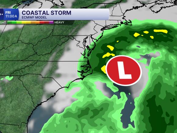
Derrah Getter's First Warning Forecast
Major tidal flooding continues through Friday. Gusty winds will continue to exacerbate flooding concerns as the coastal low slides up the east coast.
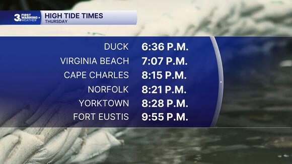
This evening, we'll see another round of high tidal flooding. Prepare for several roads to be impassible. Don't drive through floodwater. Flooding persists on Friday morning. Winds will continue gusting to 40 mph or greater.
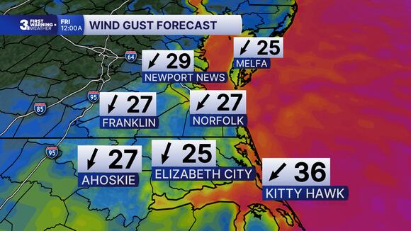
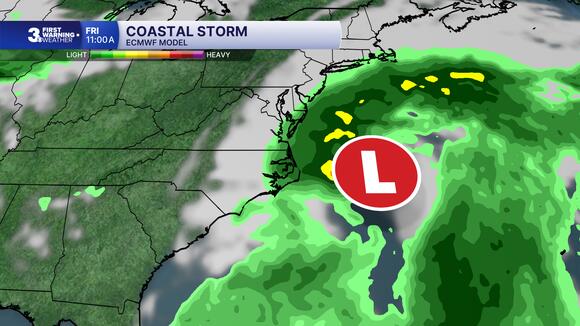
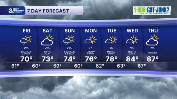
As the coastal low moves up the east coast, winds will start to slow, and coastal flooding improves starting on Saturday. A few showers will remain possible along the coast this weekend.
Drier and warmer conditions return early next week with highs in the mid to upper 70s and low 80s.
Let's connect on social media!
Meteorologist Derrah Getter:
For weather updates on Facebook:HERE
For weather updates on X:HERE
Follow me on Instagram:HERE
Check out the Interactive Radar on WTKR.com: Interactive Radar
 Add to Preferred Sources
