undefined
Posts
undefined
Followers
Storms this evening, blustery close to the week | Nov. 11, 2026
By Ryan Morse,
10 days agoINDIANAPOLIS — Storms are moving through this evening along a cold front.
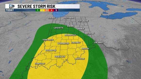
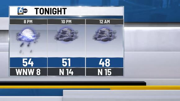
TONIGHT: A line of showers and storms crosses central Indiana this evening. Most of the southern half of Indiana has been upgraded to a slight (2/5) risk of severe storms. Organized clusters may produce gusty winds and hail through this evening.
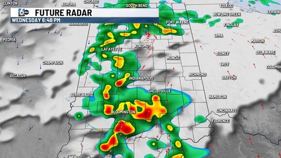
The one limiting factor is the fact that dew points are only in the 40s right now (dry air). Any rain chances wrap up prior to midnight. Low temperatures in the mid-40s.
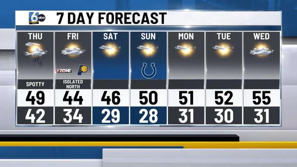
TOMORROW: Mostly cloudy, with spotty showers around. The better odds are in the PM hours. Some spots may mix in ice pellets at times within the showers because of the colder air aloft. High temperatures in the upper 40s.
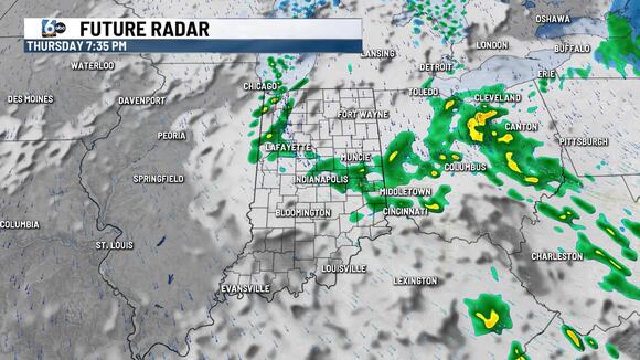
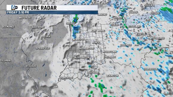
FRIDAY: Lake effect rain/snow sets up in NW Indiana. A few flurries or sprinkles may slip into parts of central Indiana at times. No accumulation is expected. Wind chill values in the morning will be in the 20s. High temperatures in the low to mid 40s.
7-DAY FORECAST: Another morning with wind chill values in the 20s is anticipated on Saturday. We dry things back out with plenty of sunshine this weekend and early next week. High temperatures rebound into the 50s after Saturday.
The post Storms this evening, blustery close to the week | Nov. 11, 2026 appeared first on WRTV.
 Add to Preferred Sources
