undefined
Posts
undefined
Followers
Storms exit Wednesday evening; colder end to the week with flakes possible Friday
By Keith Gibson,
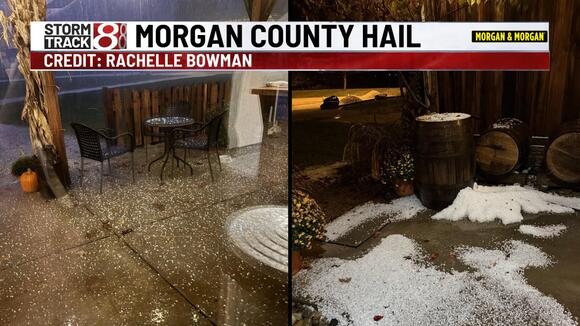
4 days agoINDIANAPOLIS — Cool & blustery conditions settle in for Thursday & Friday on the backside of the storms that moved through Wednesday evening. Some of us may even see snow flakes by the end of the week, too.
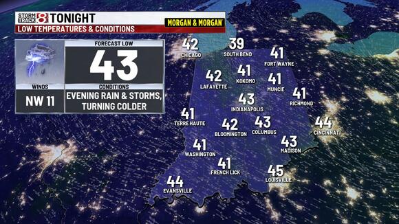
WEDNESDAY NIGHT:
Turning cooler with lows in the 40s.
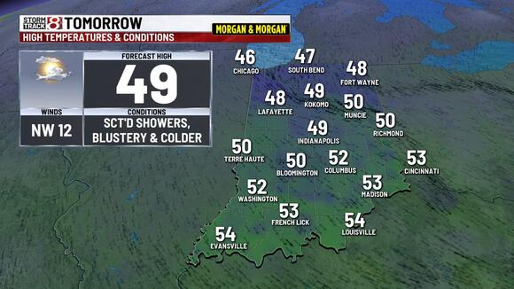
THURSDAY:
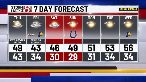
Mostly cloudy, breezy, and cooler with scattered showers. Highs in the 40s to lower 50s.
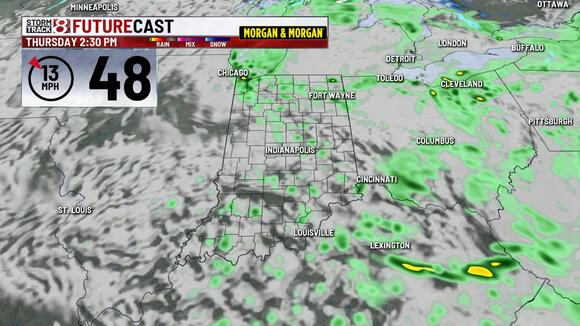
THURSDAY NIGHT:
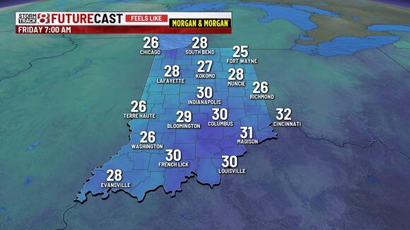
Mostly cloudy, breezy, and colder. Lows in the 30s with morning wind chill values in the 20s. Some light snow showers are possible.
FRIDAY:
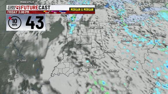
Variably cloudy, breezy, and cold. Highs in the 40s. Lingering rain & snow showers are possible, especially downwind of Lake Michigan across northern Indiana. It’ll be a chilly night for high school playoff football with evening temperatures in the 30s.
FRIDAY NIGHT:
Variably cloudy, breezy, and cold. Lows in the 30s & 20s with wind chills in the 20s by daybreak.
WEEKEND:
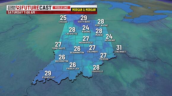
Lots of sunshine as high pressure moves into the region. Look for highs mainly in the 40s with overnight lows in the low 30s and 20s.
NEXT WEEK:
Mostly sunny for most if not all of the week. Highs will slowly moderate back into the mid 50s by midweek. Overnight lows moderate as well.
 Add to Preferred Sources