Weather
Snow squall and thundersnow conditions likely after 4 p.m. Wednesday; Second storm Friday
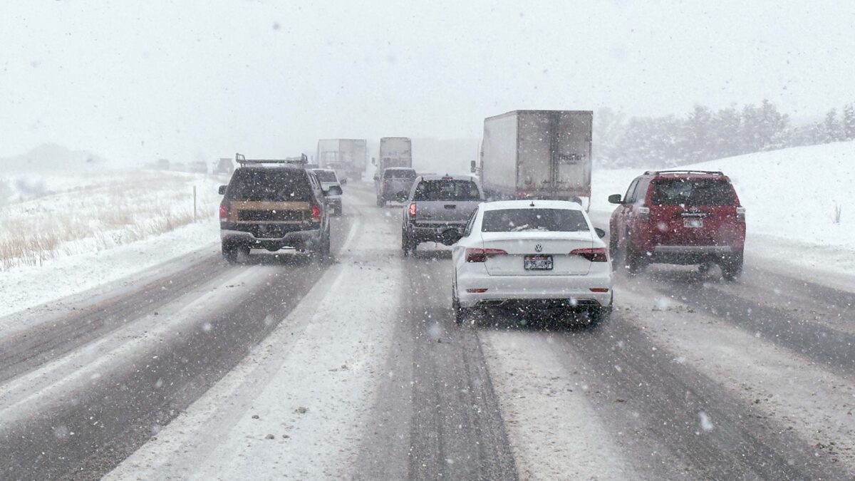
I-80 near Kimball Junction with heavy snowfall. Photo: TownLift // Kevin Cody
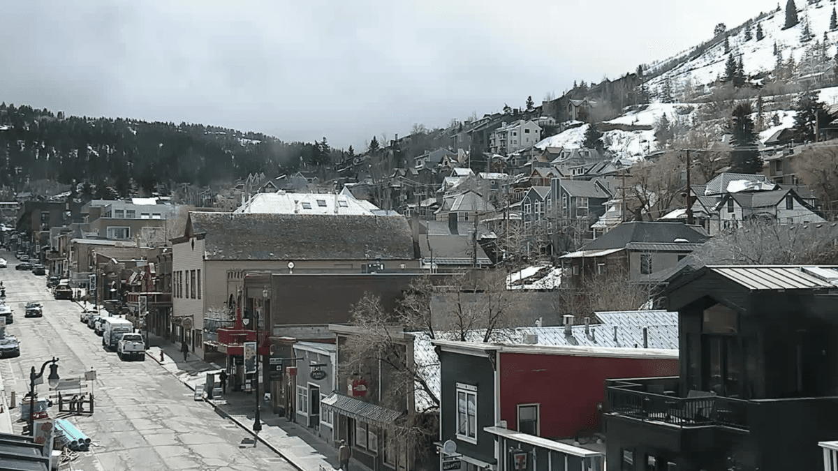
PARK CITY, Utah — A winter weather advisory has been issued for Wednesday’s storm by the National Weather Service. There is a greater than 40% chance of reaching snow squall conditions, low visibility, strong winds, and bursts of snowfall. The Upper Cottonwoods could see snowfall rates reach an intensity of two inches per hour between 6 and 10 p.m.
Snowfall totals before 5 p.m. could see accumulations of two to as much as 7 inches. After 5 p.m. conditions will pick up, making a foot of snow or more possible. Evening travels are expected to be difficult, and the Utah Department of Transportation has recommended that drivers expect delays and poor road conditions. If a snow squall warning is issued, motor travel is discouraged.
There is also a risk of thundersnow, a winter snowstorm containing lightning and thunder. The storm is expected to end by sunrise on Thursday.
❄️🌬️There is Snow Squall potential for late this afternoon into the evening across Utah.
⬜️Remember, these are a quick onset of white out conditions accompanied by low visibility.
🚗🛑If a snow squall warning is issued, avoid or delay motor travel until the squall passes. #UTwx pic.twitter.com/A2G6jYawsc— NWS Salt Lake City (@NWSSaltLakeCity) March 8, 2023
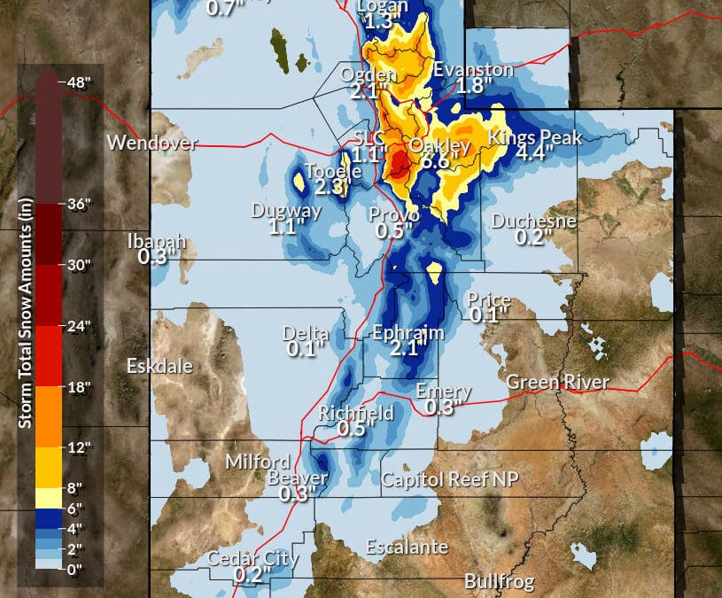
Later in the week will see warm and wet weather headed for the west. California and resorts to the south in Utah, Colorado, and New Mexico have the potential of mixed precipitation.
For the rest of Utah, the precipitation will remain snow as the system arrives on Friday morning, according to Powderchasers. Totals could reach as much as a foot of snow, with the Cottonwoods the most likely location for high totals. Snow showers are likely to persist into Saturday morning.
Understanding Utah’s Traction Law and the realities of winter driving
Kevin Cody

4536 N Painted Sky Drive
St. George, UT 847707948 Red Tail Court
Park City, UT 840603137 East George White Road
Moab, UT 845321068 W Shoreline Dr
Layton, UT 840412600 N 1200 West, Suite 6
Lehi, UT 840437566 E Ponderosa Dr
Huntsville, UT 84317Talk of the Town


Park City Jobs
Product Assembly, Adaptive Design Group Inc.
Today Part time
Summer Concert Staff, Park City Institute
5 days ago Contractor $25.00 - $35.00 hourly
Office Administrator, Park City Soccer Club
6 days ago Part time $21.00 - $23.00 hourly

Community Liaison & Administrative Assistant to the General Manager, K&K Property Management
19 days ago Full time $20.00 - $23.00 hourly

Park City Gardens is hiring for the summer!, Garden Cafe at Park City Gardens
28 days ago Seasonal $17.00 - $22.00 hourly
You May Also Like