Supercell in Salt Lake City
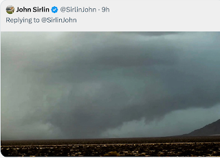
On Twitter, we tracked a supercell thunderstorm in the Salt Lake City area this afternoon.
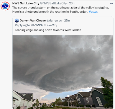
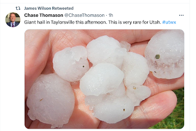
Large hail fell (1.25") and there was an unconfirmed report of 60+mph winds. While other photos showed a well-defined wall cloud (often a precursor to a tornado), I've not seen any reports of tornado damage.
As there was significant rotation, the NWS added a "tornado possible" tag to its severe thunderstorm warning. While I certainly agreed the tornado risk was worth the notice, I wish they would go ahead and issue a tornado warning in these cases.
On radar, it looked like a classic Great Plains tornado-producing thunderstorm with a hook echo and (not shown) mild rotation.
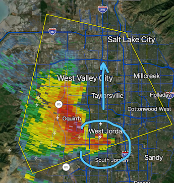 |
| Salt Lake Terminal Doppler Weather Radar Image from my Twitter storm coverage |
In 1999, there was a fatal tornado in this same region that killed one person and injured 80. Damage was $310 million damage (!) in today's dollars.
These situations can be difficult where tornadoes are geographically rare but I thought the Salt Lake City office of the NWS did a fine job.
Update: 4:20pm CDT


Comments
Post a Comment