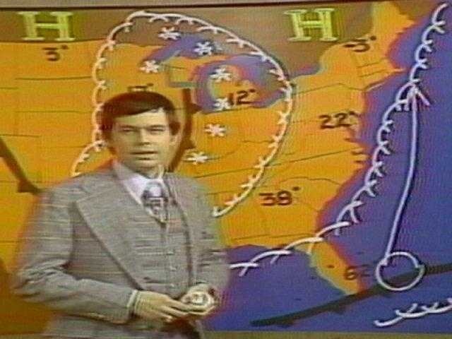
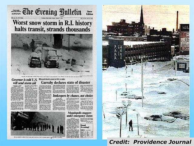
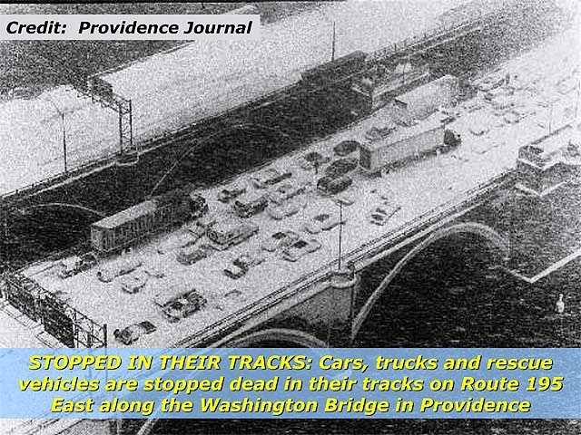
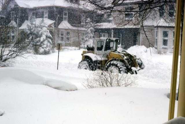
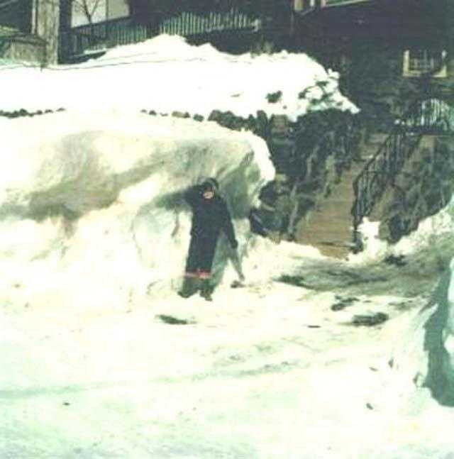
[LAUGHTER] MARIA: EXACTLY, MIKE WANKUM. EXACTLY. TODAY IS THE 45TH ANNIVERSARY. OF THE BLIZZARD OF ’78. ED: AND IT JUST HAPPENED TO BE SOMEONE’S FIRST YEAR FORECASTING IN BOSTON. TAKE A LOOK. HARVEY: THE CENTRAL PRESSURE HERE IS DROPPING QUICKLY, GETTING CLOSE TO 29 INCHES. MARIA: THAT IS OUR DEAR FRIEND, HARVEY LEONARD. CHIEF METEOROLOGIST EMERITUS HERE AT CHANNEL 5. THE GREAT THING ABOUT WATCHING THAT, YOU KNOW IT BY HEART. YOU KNOW IT BY HEART, I CAN SEE HER MOUTH MOVING. HARVEY: I’VE SEEN IT ENOUGH TIMES. ED: THAT WAS YOUR FIRST DAY? HARVEY: FIRST WEEK HERE. JUST CAME IN FROM RHODE ISLAND. ED: YOU COULD SEE SOMETHING COMING. MARIA: YOU KNEW IT WAS SOMETHING POWERFUL, BIGGER THAN WHAT MOST BELIEVED. HARVEY: SO CLASSIC. IT SOUNDS TECHNICAL BUT I COULD GO BACK TO GRADUATE SCHOOL AND ONE OF MY PROFESSORS, DR. CARDONE, YOU LEARN SO MUCH IN GRAD SCHOOL BUT NOT ABOUT PRACTICAL FORECASTING. HE SAID GET ENOUGH SIGNATURES TO TEACH A COURSE. I DID, I GOT NINE SIGNATURES. I LEARNED MORE IN THAT COURSE THAN ANYTHING ELSE. MARIA: WHAT DID YOU LEARN? HARVEY: A COLD POCKET OF AIR WITH A DISTURBANCE COMING FROM THE GREAT LAKES TO THE MID-ATLANTIC COAST AND COLD AIR OVER YOU, YOU GET AN EXPLOSION OF COLD AIR ON THE COAST. ED: EXPLOSION IS THE RIGHT WORD. WHEREVER THEY WERE, PEOPLE WERE STRANDED. CARS ABANDONED ON 128. THIS BACKUP OFF THE EXIT. THE SNOW JUST CAME WITH SUCH INTENSITY, INCHES PER HOUR. UNFORTUNATELY THERE WAS NO WAY OUT WHEN IT HAPPENED. SOME PEOPLE ABANDONED THEIR CARS, WENT TO STRANGE HOMES. UNFORTUNATELY SOME PEOPLE STAYED AND TURNED ON THE ENGINE TO TURN ON THE HEAT BUT WHEN THE SNOW GOT ABOUT THE EXHAUST FIVE, WE LOST LIVES THAT WAY AND IT WAS TRAGIC. MARIA: IT WAS TRAGIC GET SNOW TOTALS? HARVEY: THEY WERE UNREAL. THERE WERE DRIFTS FIVE TO 10 TIMES WHAT IT ACTUALLY WAS. BOSTON, 79 MILES PER HOUR. YOU COULD SEE THE POCKET FROM THE SOUTHWEST SUBURBS OF BOSTON INCLUDING PLACES LIKE FRAMINGHAM, SHARON, NOR THE, OVER THREE FEET OF SNOW BEFORE YOU START TAKING DRIFTS INTO ACCOUNT. ED: AGAIN, 45 YEARS AGO. MARI
Opinion
Harvey Leonard reflects on the Blizzard of ‘78, the winter storm by which all others in New England are measured
He’ll be on NewsCenter 5 Monday evening to discuss the historic blizzard
![WCVB logo]()
Updated: 5:19 AM EST Feb 6, 2023
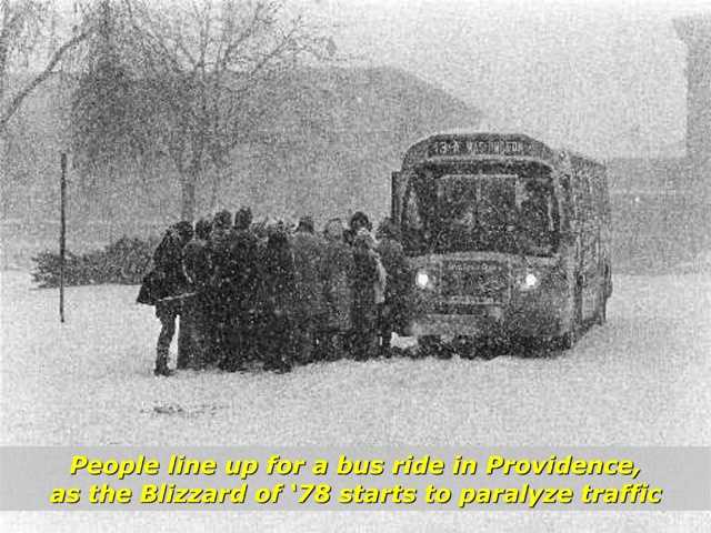
There was 27.1” of snow in Boston. And 27.6” of snow in Providence. Hurricane-force wind gusts producing drifts over 15 feet high! Approximately 3500 vehicles stuck along route 128. Fourteen of the many people trapped in those vehicles died, presumably from carbon monoxide poisoning, as they left their motors running to try to stay warm as snow piled up above the level of their exhaust systems. A total of 99 deaths were attributed to the storm in MA.. & R.I. There were massive power outages and record high tides with huge waves on top, crumbling sea walls and devastating coastal communities, leaving many homeless. The National Guard was called in to rescue folks and to help with the massive job of snow removal. Southern New England was shut down for a full week! It was The Blizzard of ’78, and it became the winter storm by which all others are measured. Anyone old enough to remember will never forget it. Those too young to remember, or who weren’t born yet, have listened to amazing accounts of the storm from their parents and/or grandparents. Each person who was around had his or her own compelling story to tell, and that included meteorologists who were working the storm. It was my first winter forecasting on Boston television, after having spent three years on Providence television. The winter of 1977-1978 had already been a very eventful and active one. On Friday, Jan. 20, 1978, just a few weeks before The Blizzard of ’78, a powerful winter nor’easter struck, producing 21” of snow in just 12 hours in Boston with wind gusts over 50 mph. Surely, I thought, at the time, that would be the most powerful storm of the winter. But I was proven wrong just 2 1/2 weeks later. The Blizzard of ’78 began early on Monday, Feb. 6 and the snow did not stop falling until Tuesday Night, the 7th. But, for me, it really began days earlier. I was the weekend and weekday noon meteorologist at Channel 7 in Boston at the time, but our chief meteorologist, Dr. Fred Ward, was away the Thursday and Friday before the storm, so I was filling in. It was on that Thursday, February 2nd, that I began to suspect that the forces of nature might be aligning to produce something very major several days down the road. A large and bitter cold High-Pressure area was centered just north of Minnesota, bringing frigid temperatures to the northern states, including New England. Meanwhile, some of our computer models were indicating a strong disturbance at high levels of the atmosphere would drop down out of Alberta Province in Canada (we call these disturbances Alberta Clippers) and move through the lower Great Lakes over the weekend, and then reach the East Coast on Monday. These storms normally carry only limited moisture...until they reach The East Coast, where they can then tap into the vast moisture source we know as The Atlantic Ocean. Now, it’s important to note that in the 1970s, computer models were not nearly as sophisticated or as accurate as they are today. As a forecaster, one would really have to make use of his or her education and experience to make great leaps of faith from what the computer models were indicating to what actually might happen. I began to realize that this might be just such a case. Ever since I was a little boy, I have been fascinated by weather, especially storms, and most especially winter storms. I was so into winter storms that, through the years, I was building a mental encyclopedia of all winter storms. So, even back in 1978, I considered winter storms to be my area of greatest interest and ability. Even though computer models were only hinting at a significant storm, I had seen enough to feel fairly confident that we would be in for a biggie. First, bitterly cold air was already established. Second, the ocean water temperature was cold (35-36 degrees). This is important because many of these types of storms can result in a change to rain, especially along the coast, as ocean winds increase if ocean water temperatures are higher. Third, based on my experience with computer models at the time, I knew they underestimated the strength of these storms when they reached the East Coast. And fourth, we were in a very active winter pattern which favored many East Coast Storms. I knew then, as I know now, that when we are in such a pattern, we usually have multiple major nor’easters in a winter season. Conversely, when we are not in such a pattern, we can sometimes go through the entire winter season without ever getting a major snowstorm. So, with all of this in mind, I went on the air Thursday Night, Feb. 2, four days before the storm and said that the potential was there for a major snowstorm early the following week. I also remember saying: “But one doesn’t want to go too far out on a limb, or one may fall off.” In those days, forecasting a potential major snowstorm four days before was virtually unheard of. On Friday night, Feb. 3, my confidence grew stronger on the air, and by Saturday Night, Feb. 4, I was about as convinced as a forecaster could be, considering it was still 36 hours before the expected start of the storm. I remember all of this as if it was yesterday. I was so worked up that I could hardly sleep from Thursday night on, meaning that by the time the storm actually began on Monday, I was already exhausted! But, as confident as I was on the air in the days before the storm, as soon as I left the station and began to think, I would get really nervous. What if something goes wrong? After all, this is the weather, and even today, there are still occasional surprises that cause forecasts to go array. In those days, that would happen considerably more often. After making such a strong call on the storm on Saturday Night, Feb. 4, I worried that if anything did go wrong, I would probably be run out of town...after all, it was just my first winter forecasting on Boston television. My wife Lorraine can tell you that it wasn’t easy to live before that storm hit. I was so obsessed with the potential storm that I could not concentrate on anything else! I was off the day before the storm hit (Sunday, Feb. 5). Lorraine and I went out with some friends that day. But my mind was really somewhere else, imagining the impact this storm was going to have, while still fearing something might go wrong. I was scheduled to work the next day (Monday, Feb. 6) both in the morning and at noon. But I couldn’t wait that long to get to work. I kissed Lorraine (6 months pregnant with our 1st child at the time) goodbye at 11:30 p.m. Sunday night and headed into the station (little did I know at the time that it would be a whole week before I would see her again). I just had to be where the action was and, most importantly, where all the weather information would be (remember, this was before the days of the internet, so I couldn’t study the weather situation unless I was actually in the workplace). I tried to sleep on a couch at the station for a few hours, but my mind would not settle down enough to allow that, so I watched the limbs on the trees sway to and fro as the northeasterly winds gradually increased. Then I went into the weather center to start checking the latest data. All looked good as the snow was stretching from Washington, D.C., up to Bridgeport, Ct. The temperature was 25 degrees in Boston, which was fine, but in just one hour, the temperature jumped to 30 degrees as the wind became more easterly and increased further. Oh no! Did this mean that Boston would wind up with rain and I would look like the biggest fool in the world?...career over at such a young age (29)? Fortunately, it did not. The ocean was cold enough to keep it all snow (except on Cape Cod, which did experience a change to rain). It did mean that coastal areas would have wet snow during the first half of the storm, while inland areas would have dry powdery snow…what we would call a powder blizzard. Snow flurries began in Boston around 10 a.m. and by noontime, a steady light snow was falling. But at 5 p.m. there was still just light snow falling, and Boston only had less than 1” of accumulation, while Providence already had over 6”. Did this mean at the last minute, the storm was moving out to sea a bit too far south to nail Boston? These are the fears a forecaster has when his forecast, and in this case, his reputation, as well as his career, are on the line. Well, just as my anxiety reached a peak, the snow began to rapidly increase in intensity in Boston, and The Blizzard of ’78 was really underway. Harvey Leonard is currently Chief Meteorologist Emeritus at WCVB-TV in Boston, MA, and has been privileged to have a 50+ year career as a Broadcast Meteorologist in New England.
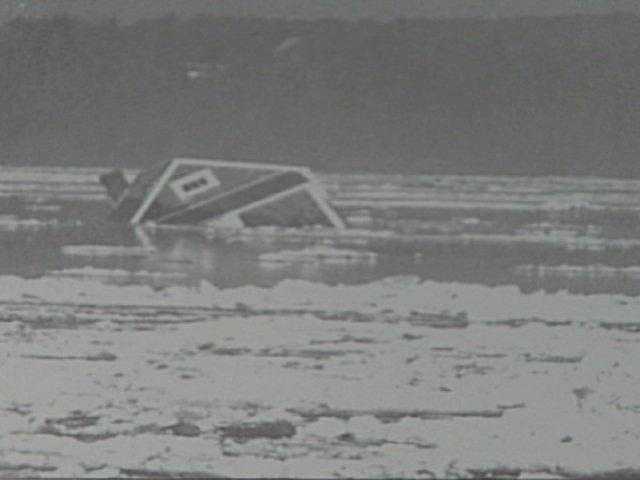
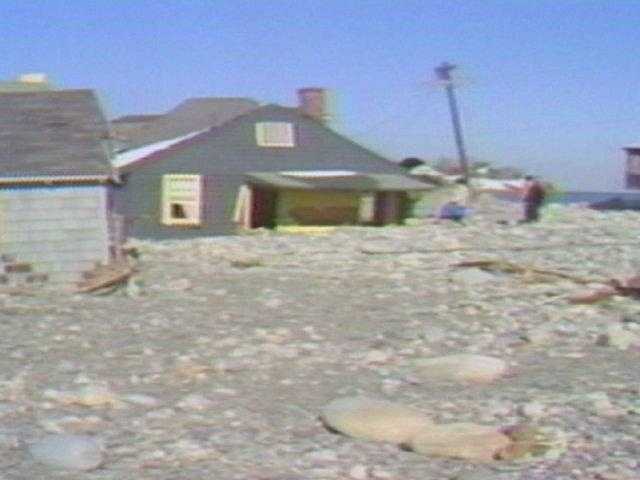
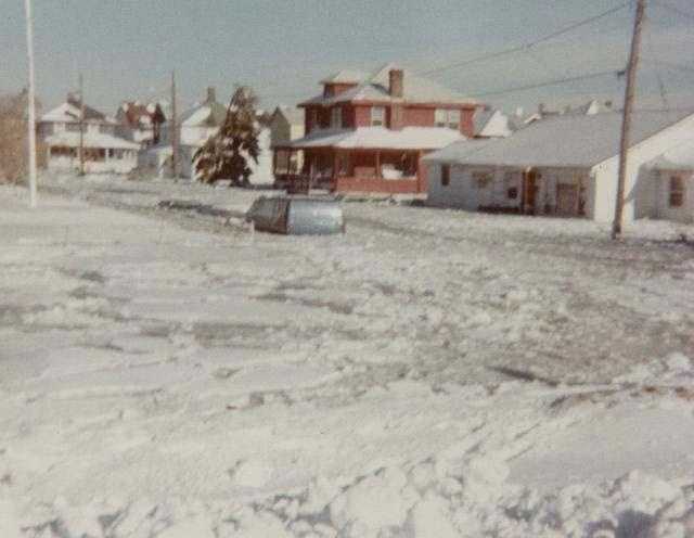
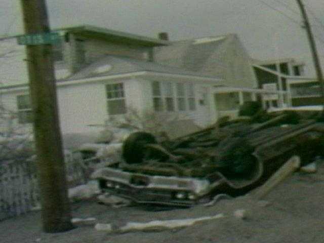
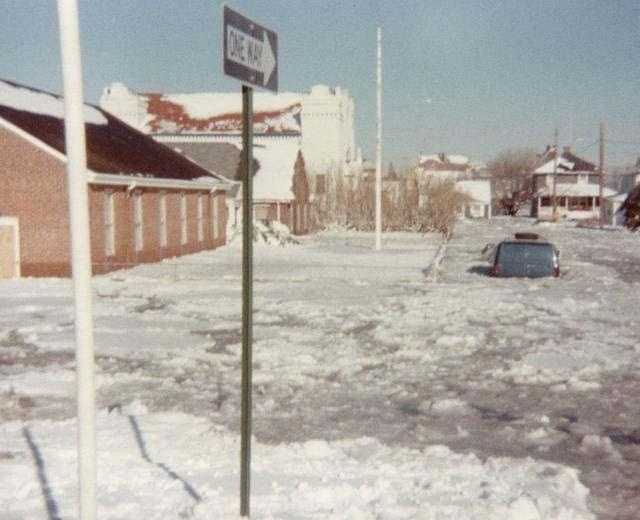
NEEDHAM, Mass. — There was 27.1” of snow in Boston. And 27.6” of snow in Providence. Hurricane-force wind gusts producing drifts over 15 feet high! Approximately 3500 vehicles stuck along route 128. Fourteen of the many people trapped in those vehicles died, presumably from carbon monoxide poisoning, as they left their motors running to try to stay warm as snow piled up above the level of their exhaust systems. A total of 99 deaths were attributed to the storm in MA.. & R.I. There were massive power outages and record high tides with huge waves on top, crumbling sea walls and devastating coastal communities, leaving many homeless. The National Guard was called in to rescue folks and to help with the massive job of snow removal. Southern New England was shut down for a full week!
It was The Blizzard of ’78, and it became the winter storm by which all others are measured. Anyone old enough to remember will never forget it. Those too young to remember, or who weren’t born yet, have listened to amazing accounts of the storm from their parents and/or grandparents. Each person who was around had his or her own compelling story to tell, and that included meteorologists who were working the storm.
It was my first winter forecasting on Boston television, after having spent three years on Providence television. The winter of 1977-1978 had already been a very eventful and active one. On Friday, Jan. 20, 1978, just a few weeks before The Blizzard of ’78, a powerful winter nor’easter struck, producing 21” of snow in just 12 hours in Boston with wind gusts over 50 mph. Surely, I thought, at the time, that would be the most powerful storm of the winter. But I was proven wrong just 2 1/2 weeks later.
The Blizzard of ’78 began early on Monday, Feb. 6 and the snow did not stop falling until Tuesday Night, the 7th. But, for me, it really began days earlier.
1 of 62
The morning of the storm, the roads in Boston were clear with just 6 inches predicted in the official forecast.
2 of 62
However, meteorologist Harvey Leonard had predicted a "textbook" storm with blizzard conditions several days before.
3 of 62
PHOTO: National Weather Service
4 of 62
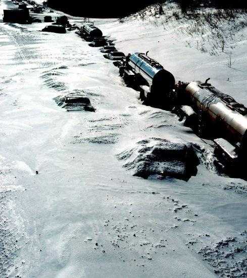
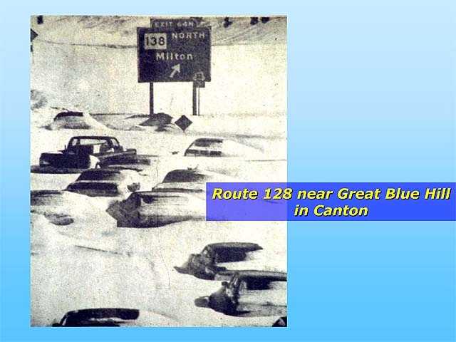
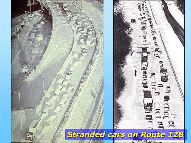
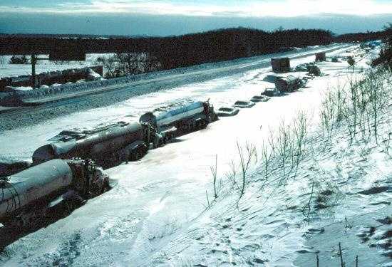
Route 128 was among the first major roads to feel the impact of the storm.
5 of 62
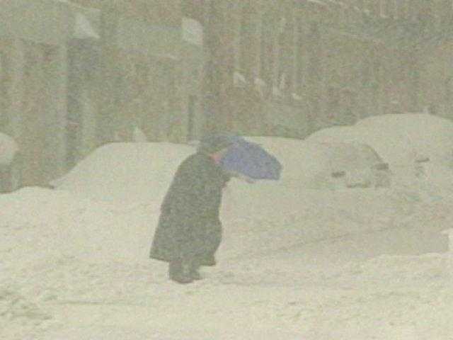
As the intensity of the storm hit Boston, an umbrella was hardly enough!
7 of 62
The storm broke every record on the books. Winds gusts officially reached 83 mph in Boston.
8 of 62
Snow fell at a rate of 4 inches an hour at times during the storm.
9 of 62
Hurricane force winds at the height of the blizzard made walking extremely difficult.
10 of 62
For coastal residents, the blizzard meant nearly 40 hours of devastation.
11 of 62
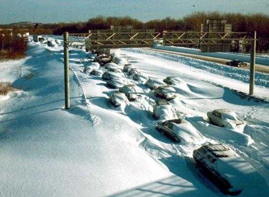
By morning, the impact of the storm on Route 128 was clear.
12 of 62
PHOTO: National Weather Service
13 of 62
PHOTO: National Weather Service
14 of 62
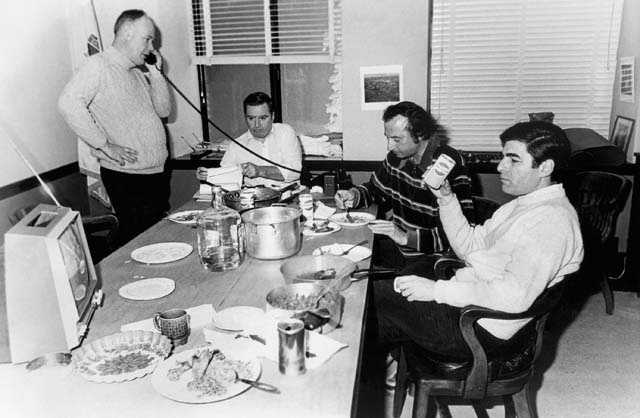
Gov. Michael Dukakis declares a State of Emergency during the "Blizzard of '78" in February, 1978.
15 of 62
Along Route 128, rescue workers waded through waist-deep snow to check on the drivers stranded in their cars.
16 of 62
Gov. Michael S. Dukakis, right, and his aides monitor progress of the storm aftermath from his office in the Massachusetts State House in Boston, Feb. 7, 1978.
PHOTO: AP Photo
17 of 62
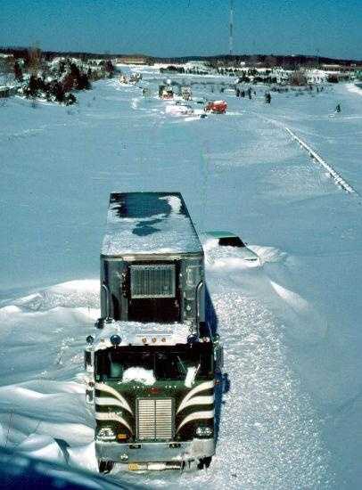
Cars and trucks were trapped in drifts as high as 15 feet.
18 of 62
Motorists were often surprised to find someone tapping on their windows to see if they were alive.
19 of 62
PHOTO: National Weather Service
20 of 62
PHOTO: National Weather Service
21 of 62
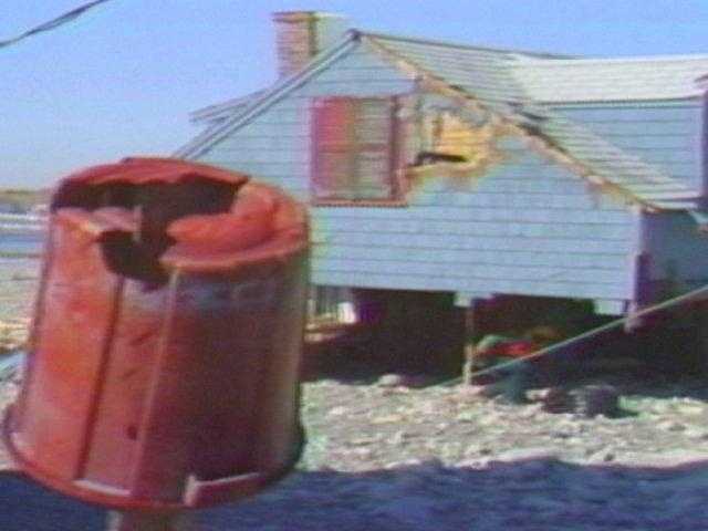
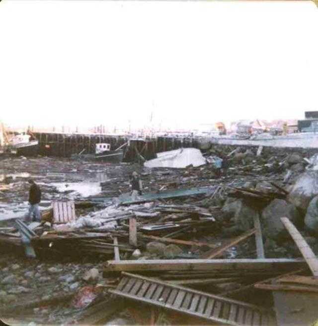
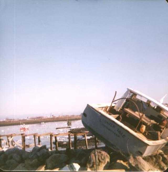
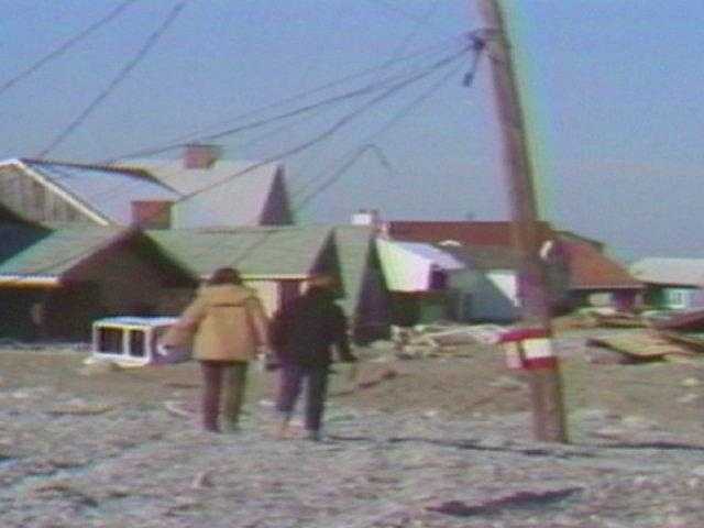
While along the coast, the extent of the damage at first light was overwhelming.
22 of 62
Not just water came from the ocean, rocks and debris inundated streets.
23 of 62
PHOTO: National Weather Service
24 of 62
The hurricane-like storm killed at least 56 people and caused an estimated one billion dollars' worth of damage.
25 of 62
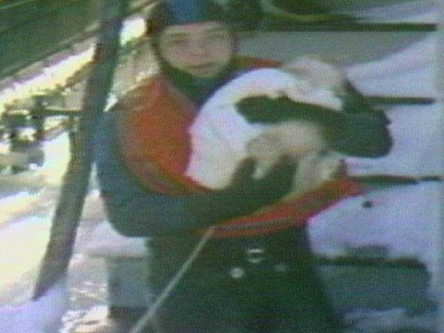
Rescue workers evacuated people and their pets from homes in Revere.
26 of 62
Not since 1888 had the Northeast suffered such a winter storm
27 of 62
Flood tides along the coast forced 10,000 people into emergency shelters.
28 of 62
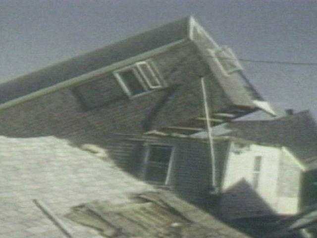
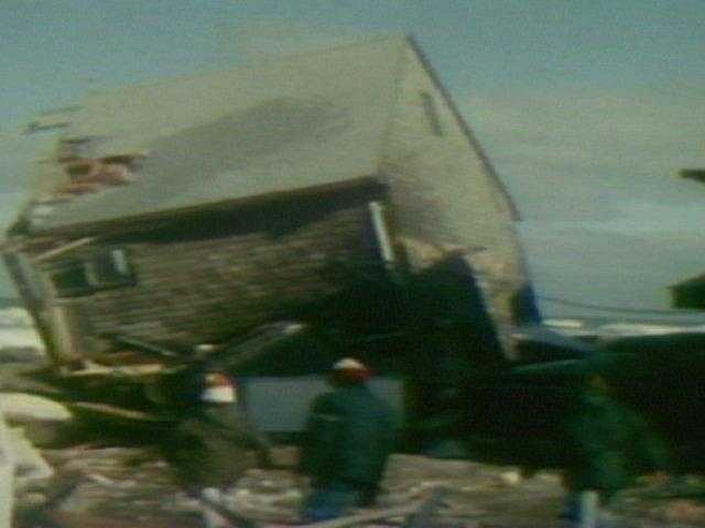
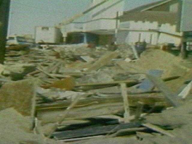
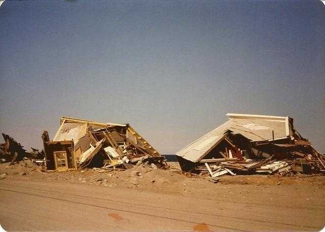
Debris was sometimes all that was left of the 2,000 homes that were destroyed.
31 of 62
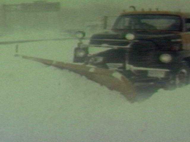
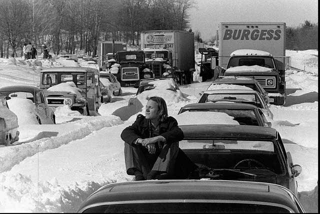
Along Route 128, the challenge was to clear the road.
32 of 62
Gov. Dukakis mobilized 4,000 National Guardsmen and 300 federal troops.
33 of 62
Roy Sodersjerna of Higham, Mass. suns himself on the hood of his car which is stuck in snow on Massachusetts Route 128 in Dedham, Mass. in this Feb. 9, 1978 file photo. Sodersjerna, who waits for plows and tow trucks to dig him out, has been living at a Red Cross shelter nearby since being trapped in the storm three days earlier.
PHOTO: AP Photo
34 of 62
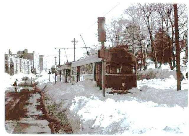
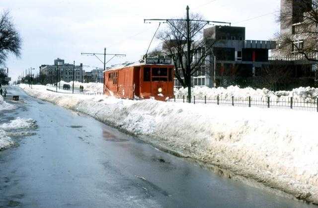
MBTA trolleys were also stopped on the tracks by the blizzard.
35 of 62
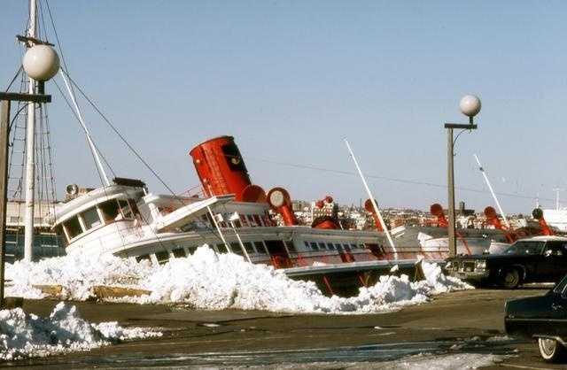
The sidewheeler Peter Stuyvesant, which formed part of Anthony's Pier Four Restaurant, was torn from its concrete pilings and wrecked in Boston Harbor.
PHOTO: Lawrence Mills
36 of 62
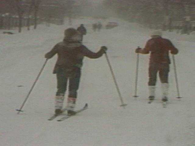
With roads closed, skis were one way to get around.
37 of 62
The blizzard slammed Massachusetts, dropping from 2 to 4 feet of snow in 32 hours.
38 of 62
Yes, the snow was that high!
39 of 62
The challenge was to open a runway at Logan Airport so that the Army could fly in additional front-end loaders.
40 of 62
A National Guardsman checks a stranded car Feb. 9, 1978, in Hampton, N.H., after the Blizzard of '78 to see if anyone was trapped inside.
PHOTO: AP Photo
41 of 62
While streets elsewhere remained completely flooded.
42 of 62
And others realized their homes had been washed away and were gone.
43 of 62
Cars on roads in coastal communities were victims of the flooding.
44 of 62
Over 11,000 homes were damaged or destroyed.
45 of 62
The owner of this car no doubt wished the storm had gone in a different direction.
46 of 62
Heavy Plows Were Needed To Clear The MBTA Tracks
PHOTO: Lawrence Mills
47 of 62
During the blizzard there were four flooding high tides.
48 of 62
Flood tides were over 15 feet. Nothing was secure.
49 of 62
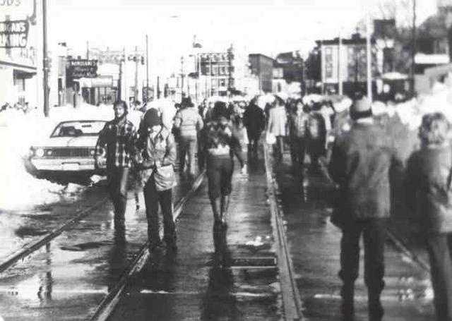
Walking in Boston on the MBTA tracks became the only path for pedestrians.
50 of 62
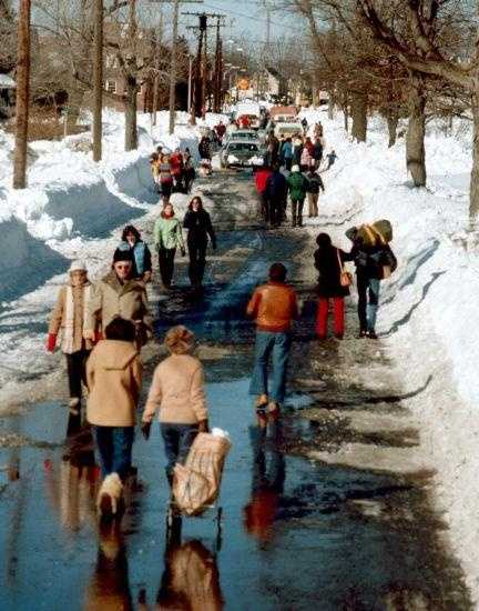
Or they shared the road with cars.
51 of 62
Long lines formed at the few stores that could open and shelves were quickly stripped bare of milk and bread.
52 of 62
In Boston, stores were looted.
53 of 62
When roads were reopened, at first only emergency vehicles were allowed.
54 of 62
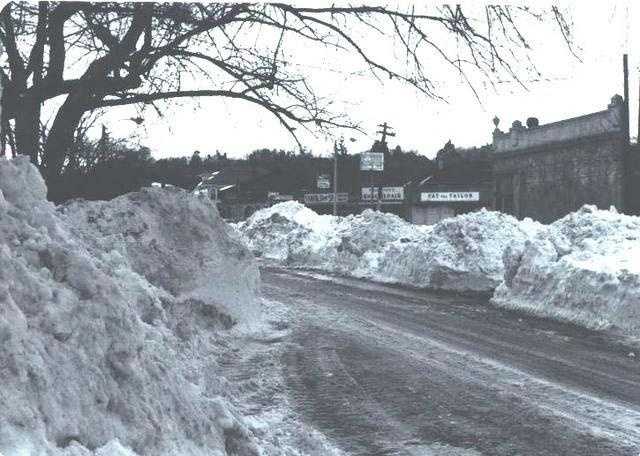
Even once roads re-opened, snow banks were treacherous hazards for drivers.
55 of 62
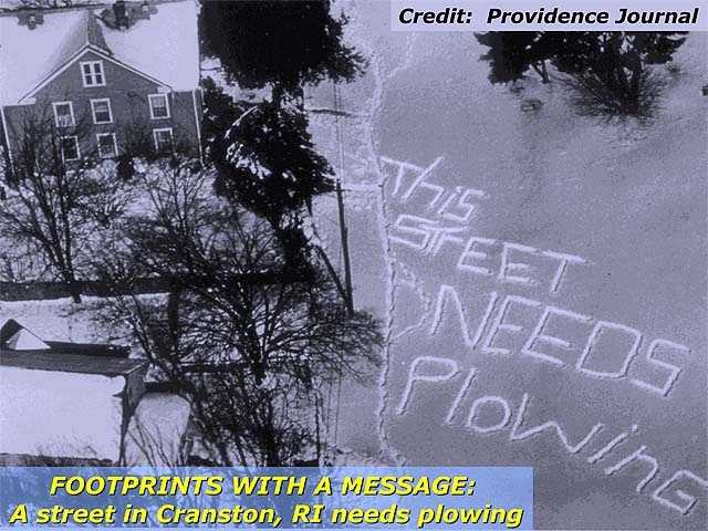
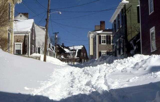
Some streets remained unplowed for a week.
56 of 62
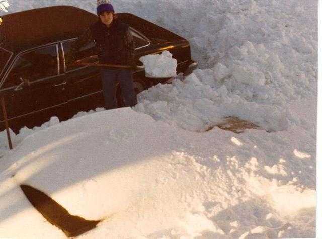
Shoveling out your car was a very common sight...and took a long time!
57 of 62
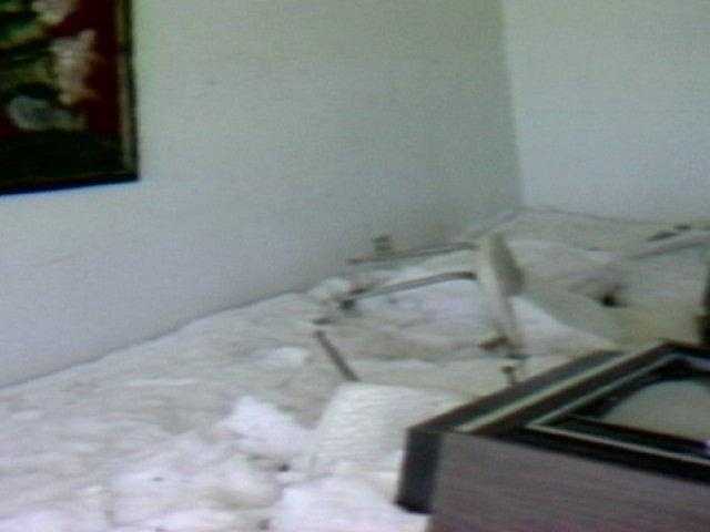
When people returned to their homes, they often found snow inside.
58 of 62
Some were lucky to find anything that could be salvaged.
59 of 62
Others were not.
PHOTO: Virginia McLaughlin
60 of 62
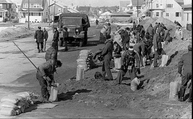
U.S. Army Engineers and Civil Defense volunteers work together filling sand bags in Hull, Mass. in this Feb. 13, 1978 photo in an effort to control flooding after a blizzard hit Massachusetts.
PHOTO: AP Photo
61 of 62
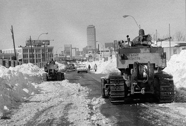
Two members of the U.S. Army 27th Engineers from Fort Bragg, N.C. move their bulldozers slowly toward downtown Boston as the city began to remove the record snowfall from the streets, seen in this Feb. 11, 1978 file photo.
PHOTO: AP Photo
62 of 62
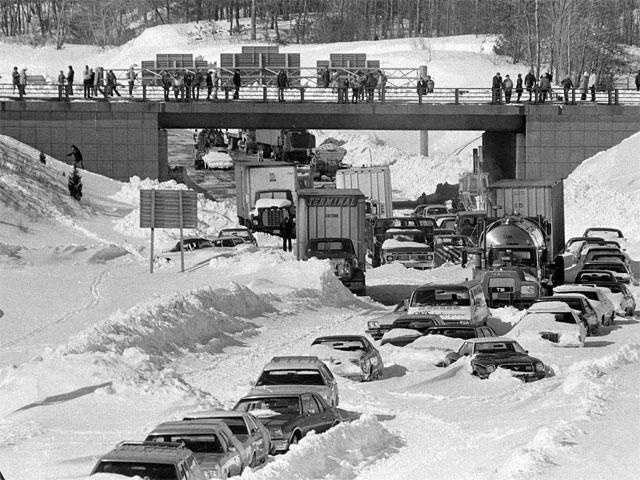
Route 128 after the storm.
PHOTO: Associated Press
I was the weekend and weekday noon meteorologist at Channel 7 in Boston at the time, but our chief meteorologist, Dr. Fred Ward, was away the Thursday and Friday before the storm, so I was filling in. It was on that Thursday, February 2nd, that I began to suspect that the forces of nature might be aligning to produce something very major several days down the road.
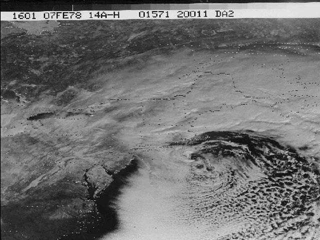
A large and bitter cold High-Pressure area was centered just north of Minnesota, bringing frigid temperatures to the northern states, including New England. Meanwhile, some of our computer models were indicating a strong disturbance at high levels of the atmosphere would drop down out of Alberta Province in Canada (we call these disturbances Alberta Clippers) and move through the lower Great Lakes over the weekend, and then reach the East Coast on Monday. These storms normally carry only limited moisture...until they reach The East Coast, where they can then tap into the vast moisture source we know as The Atlantic Ocean.
Now, it’s important to note that in the 1970s, computer models were not nearly as sophisticated or as accurate as they are today. As a forecaster, one would really have to make use of his or her education and experience to make great leaps of faith from what the computer models were indicating to what actually might happen. I began to realize that this might be just such a case.
Ever since I was a little boy, I have been fascinated by weather, especially storms, and most especially winter storms. I was so into winter storms that, through the years, I was building a mental encyclopedia of all winter storms. So, even back in 1978, I considered winter storms to be my area of greatest interest and ability.
Even though computer models were only hinting at a significant storm, I had seen enough to feel fairly confident that we would be in for a biggie. First, bitterly cold air was already established. Second, the ocean water temperature was cold (35-36 degrees). This is important because many of these types of storms can result in a change to rain, especially along the coast, as ocean winds increase if ocean water temperatures are higher. Third, based on my experience with computer models at the time, I knew they underestimated the strength of these storms when they reached the East Coast. And fourth, we were in a very active winter pattern which favored many East Coast Storms. I knew then, as I know now, that when we are in such a pattern, we usually have multiple major nor’easters in a winter season. Conversely, when we are not in such a pattern, we can sometimes go through the entire winter season without ever getting a major snowstorm.
So, with all of this in mind, I went on the air Thursday Night, Feb. 2, four days before the storm and said that the potential was there for a major snowstorm early the following week. I also remember saying: “But one doesn’t want to go too far out on a limb, or one may fall off.” In those days, forecasting a potential major snowstorm four days before was virtually unheard of.
On Friday night, Feb. 3, my confidence grew stronger on the air, and by Saturday Night, Feb. 4, I was about as convinced as a forecaster could be, considering it was still 36 hours before the expected start of the storm.
I remember all of this as if it was yesterday. I was so worked up that I could hardly sleep from Thursday night on, meaning that by the time the storm actually began on Monday, I was already exhausted!
But, as confident as I was on the air in the days before the storm, as soon as I left the station and began to think, I would get really nervous. What if something goes wrong? After all, this is the weather, and even today, there are still occasional surprises that cause forecasts to go array. In those days, that would happen considerably more often. After making such a strong call on the storm on Saturday Night, Feb. 4, I worried that if anything did go wrong, I would probably be run out of town...after all, it was just my first winter forecasting on Boston television. My wife Lorraine can tell you that it wasn’t easy to live before that storm hit. I was so obsessed with the potential storm that I could not concentrate on anything else!
I was off the day before the storm hit (Sunday, Feb. 5). Lorraine and I went out with some friends that day. But my mind was really somewhere else, imagining the impact this storm was going to have, while still fearing something might go wrong.
I was scheduled to work the next day (Monday, Feb. 6) both in the morning and at noon. But I couldn’t wait that long to get to work. I kissed Lorraine (6 months pregnant with our 1st child at the time) goodbye at 11:30 p.m. Sunday night and headed into the station (little did I know at the time that it would be a whole week before I would see her again). I just had to be where the action was and, most importantly, where all the weather information would be (remember, this was before the days of the internet, so I couldn’t study the weather situation unless I was actually in the workplace).
I tried to sleep on a couch at the station for a few hours, but my mind would not settle down enough to allow that, so I watched the limbs on the trees sway to and fro as the northeasterly winds gradually increased. Then I went into the weather center to start checking the latest data. All looked good as the snow was stretching from Washington, D.C., up to Bridgeport, Ct. The temperature was 25 degrees in Boston, which was fine, but in just one hour, the temperature jumped to 30 degrees as the wind became more easterly and increased further. Oh no! Did this mean that Boston would wind up with rain and I would look like the biggest fool in the world?...career over at such a young age (29)? Fortunately, it did not. The ocean was cold enough to keep it all snow (except on Cape Cod, which did experience a change to rain). It did mean that coastal areas would have wet snow during the first half of the storm, while inland areas would have dry powdery snow…what we would call a powder blizzard.
Snow flurries began in Boston around 10 a.m. and by noontime, a steady light snow was falling. But at 5 p.m. there was still just light snow falling, and Boston only had less than 1” of accumulation, while Providence already had over 6”. Did this mean at the last minute, the storm was moving out to sea a bit too far south to nail Boston? These are the fears a forecaster has when his forecast, and in this case, his reputation, as well as his career, are on the line. Well, just as my anxiety reached a peak, the snow began to rapidly increase in intensity in Boston, and The Blizzard of ’78 was really underway.
Harvey Leonard is currently Chief Meteorologist Emeritus at WCVB-TV in Boston, MA, and has been privileged to have a 50+ year career as a Broadcast Meteorologist in New England.


