

Grab your umbrella, get your tire chains handy, and give yourself extra time to get where you're going Monday. I'm tracking rain, snow, and the potential for thunderstorms on the way in your Monday forecast, and more active weather projected across northern California from late this week through your weekend.
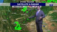
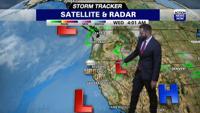
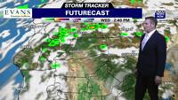
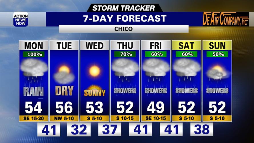
Grab your umbrella, get your tire chains handy, and make sure you're leaving yourself plenty of extra time to get to where you need to go before you head out the door Monday morning. A trough of low pressure right off the coast of northern California is pushing rain and snow showers across northern California today. The heaviest rain and snow is projected to fall this morning, and then we'll mostly have scattered showers for the remainder of the day in the valley. The potential for thunderstorms will also ramp up from mid afternoon through this evening, and we'll have the highest potential for thunderstorms in areas of Tehama, Butte, and Plumas Counties. Snow in the mountains will likely cause travel impacts today, and Winter Weather Advisories remain. Winter Weather Advisories will expire this afternoon in the Northern Mountains and Shasta County, but the northern Sierra is currently set to stay under the advisory through 4am Tuesday. Snow levels will be down to around 2500' in the Northern Mountains, and down to as low as 3500' in the Sierra Monday. Temperatures are starting out in the 40's in the valley, 30's to 40's in the foothills, and 20's to 30's in our mountain zones to start your day. Winds will be out of the south to 15mph, and we'll have gusts up to around 25mph through the day. High temperatures are projected to top out in the upper 40's to upper 50's in the valley, mid 30's to mid 40's in the foothills and Northern Mountains, and 30's in the Sierra Monday afternoon. Showers and the potential for thunderstorms will persist into your evening, but are projected to diminish into early Tuesday.
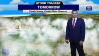
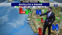
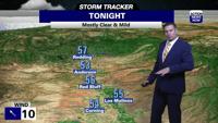
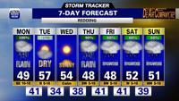
We'll have partly cloudy to mostly sunny skies and warmer high temperatures on the way for your Tuesday forecast. Valley areas will start out in the lower 40's and top out in the mid 50's on Tuesday, while foothill areas start out in the 30's to 40's and end up in the 40's. Mountain areas will start out in the teens to 20's and top out in the 30's to mid 40's Tuesday afternoon. We'll have more sunshine, cooler low temperatures, and slightly cooler daytime high temperatures on Wednesday. Valley areas will start out in the 30's, foothill areas will start out in the 20's to 30's, and our mountain zones will start out in the teens on Wednesday morning. High temperatures will climb into the mid 50's in the valley, 30's to mid 40's in the foothills, and 30's to low 40's in our mountain areas Wednesday afternoon. The next wet system is projected to arrive across northern California Thursday evening, and we'll continue to see rain and snow chances across our region through this weekend. Valley areas will start out in the 30's to low 40's and top out in the upper 40's to lower 50's from Thursday through your weekend. Foothill areas will start out in the 30's to low 40's and have high temperatures in the 30's to mid 40's late week and this weekend. Mountain areas will start out in the teens to 20's and top out in the 30's to low 40's in your late week and weekend forecast.