
Chilly air will slowly get the boot in the next 24 hours. While temperatures still hold in the 40s Friday, it will feel a lot warmer without the wind and with ample sun. We’re still climbing out of the cold Friday morning, so there’s a limit to how far we get with the day's warmup.
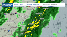
Saturday's forecast resembles what we saw on Wednesday, with a few (major) exceptions. The wind isn’t as fierce; the rain isn’t as heavy, and the timing isn’t in the evening. It’s more like midday. All in all, this is a tamer front with an equally chilly airmass to follow on Sunday.
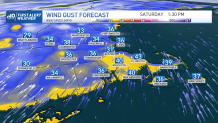
Winds will pick up early on Saturday as the first sprinkles move in by mid-morning. We’ll see gusts top 35-40 in spots – especially on Cape Cod (45 mph is within reach). While that won’t be enough for many power outages, there will always be a couple of spots that will briefly lose power in these kinds of situations. Temps soar back to the 50s through the afternoon as milder air moves in on the southwest wind.
Get Boston local news, weather forecasts, lifestyle and entertainment stories to your inbox. Sign up for NBC Boston’s newsletters.
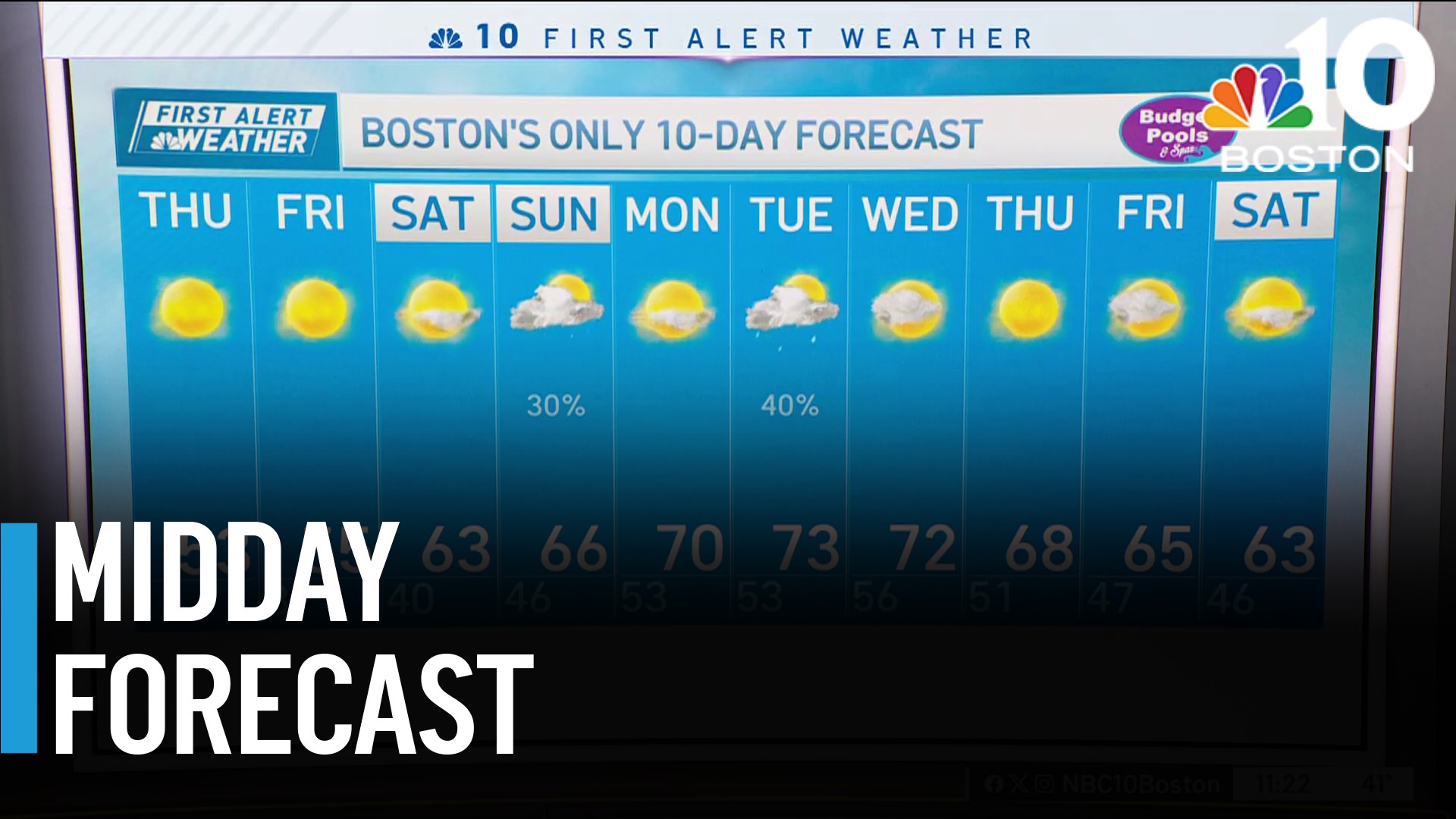
Rain moves out Saturday evening with the cold shuffling in. We’ll be much cooler Sunday too, with a steady breeze.
Looking ahead to next week, there seems to be another opportunity to warm things up both Tuesday and Wednesday before the door shuts and the cold comes for an extended stay. No storms brewing in the long range, but if they did, we’re positioned for snow.
Weather

Have a good, safe weekend!
