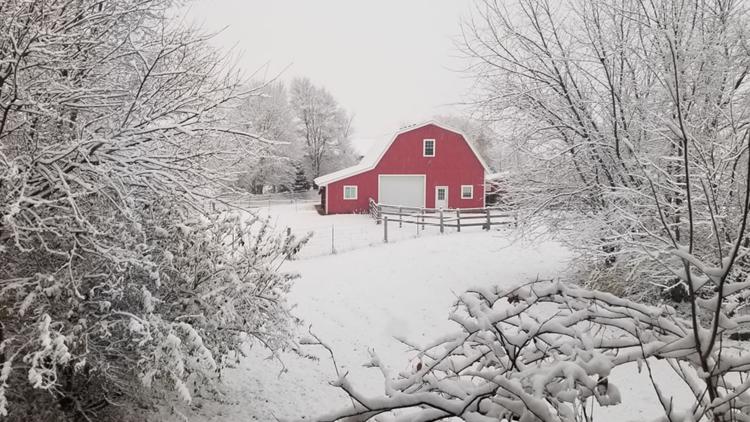
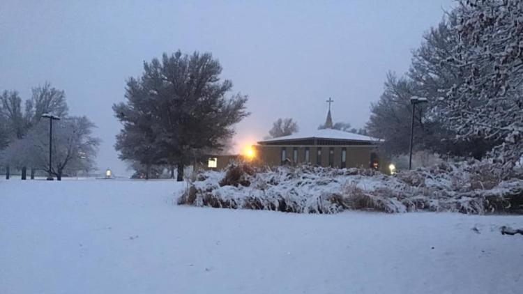
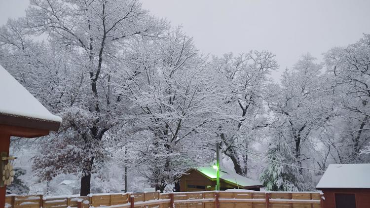
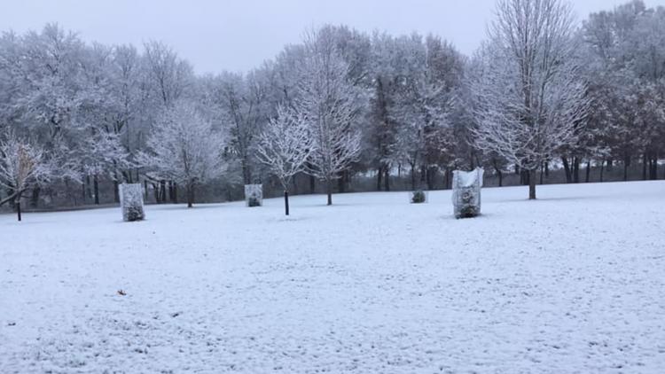
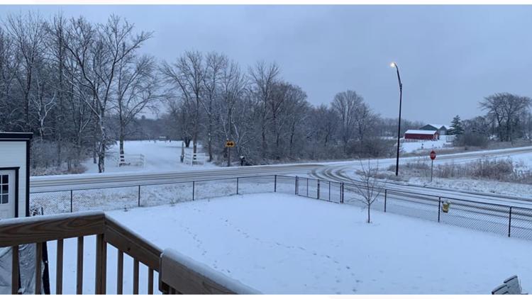
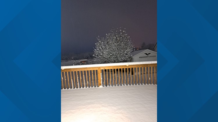
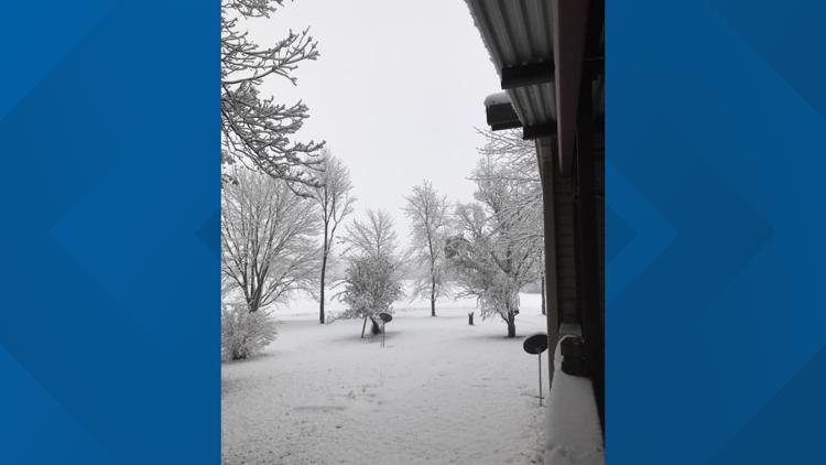
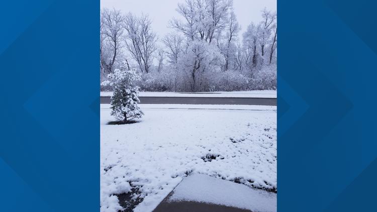
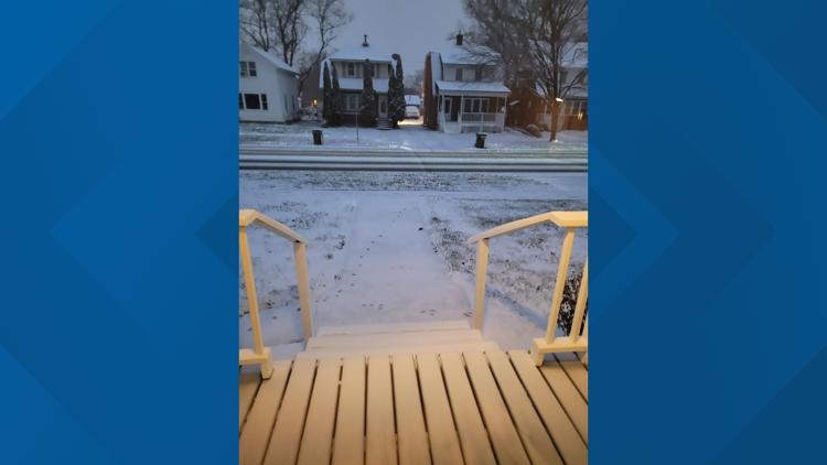
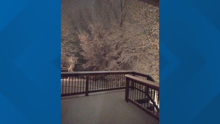
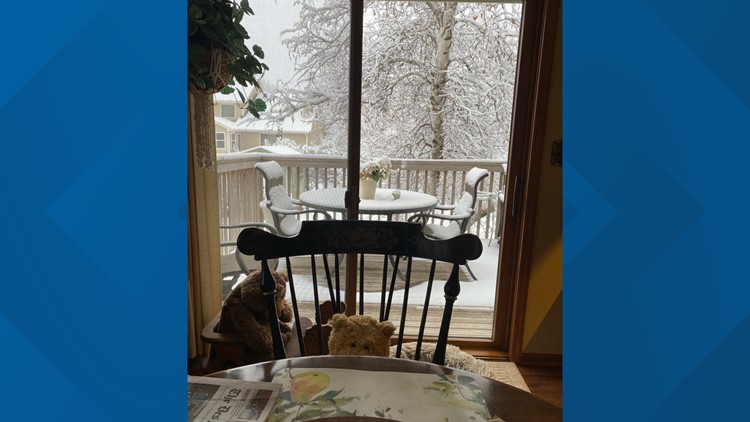
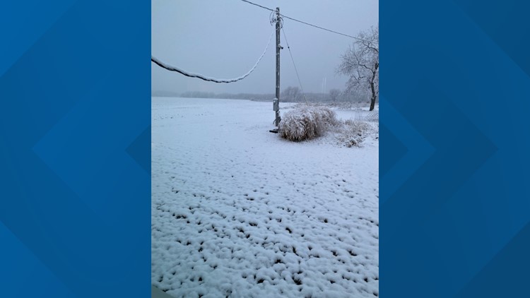
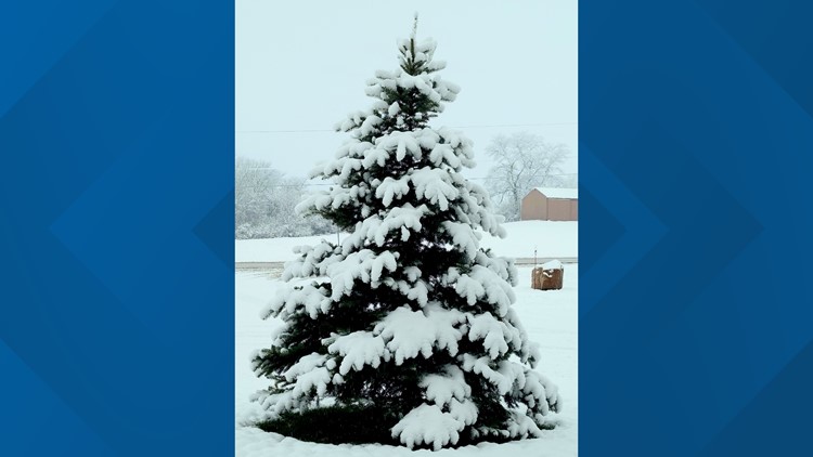
DES MOINES, Iowa — Central Iowa's first measurable snow of the season is here, and right on target, too!
The average first snow in Des Moines occurs on Nov. 15, so this round of snow is average for the city- not something we say every day.
A Winter Weather Advisory remains in effect until 6 p.m. Tuesday evening, mainly to account for any remaining snow accumulations in the region.
The Local 5 weather team expects additional light snow showers through the afternoon and evening, and again on Wednesday. However, the amount of snow will be minor compared to what fell overnight and this morning.
Here are some of the totals from across central Iowa (as of Noon Tuesday):
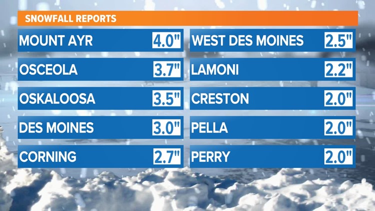
- Mount Ayr: 4.0"
- Panora: 4.0"
- Swea City: 4.0"
- Osceola: 3.7"
- New Virginia: 3.5"
- Oskaloosa: 3.5"
- Des Moines International Airport: 3.0"
- Corning: 2.7"
- West Des Moines: 2.5"
- Lamoni: 2.2"
- Cambridge: 2.0"
- Creston: 2.0"
- Pella: 2.0"
- Toledo: 2.0"
- Boone: 1.8"
- Chariton: 1.7"
- Clutier: 1.5"
- Atlantic: 1.2"
First snowfall in central Iowa


Nov. 14 will be the official date for Des Moines' first snow this season, since 0.4" of snow fell at the airport prior to midnight.
In 2021, the first measurable snow didn't occur until Dec. 11, while the first snows happened in October in 2020, 2019, and 2018.
Des Moines averages 2.6" of snow in November, so it's possible this single snow event will send us above that average.
Only a trace of snow was reported in November 2021, while 2.1" of snow fell in November 2020, 3.3" in November 2019 and 1.3" in November 2018.