
Ontario's Weather Forecast Is Getting Soggy This Week & Snow Will Hit Some Regions
Wet flurries? Ew.
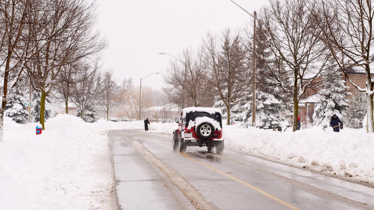
A car driving in the snow.
Parts of the province will look more like winter than fall this week as snow starts coming back into Ontario's weather forecast.
According to The Weather Network (TWN), a shot of modified arctic air will make its way into several northern Ontario areas at the end of the week, allowing for snow over the Thanksgiving long weekend.
The incoming pattern will drop temperatures enough to bring wet flurries and light snow to areas like Peawanuck, Dryden, and Temiskaming Shores. However, snowfall amounts will be minimal as the still-warm ground will likely prevent any accumulation from sticking around.
The burst of colder weather will make Friday feel closer to early November. Its evening hours will offer clear skies and bitterly cold temperatures of 7 degrees or less, with a risk for frost in the Greater Toronto Area.
Basically, residents will want to get out and enjoy Thursday's pleasant temperatures because this will likely be their last chance to enjoy T-shirt weather this season.
What's causing all this wintry nonsense? A typhoon, apparently.
"If you're not a fan of cooler weather, blame it on the Pacific Ocean. The track of a typhoon in the western Pacific altered the jet stream enough to deepen the trough responsible for this forthcoming blast of cold air," TWN reports.
Experts say residents don't have to worry about being slingshot into winter early, though, as predictions for the second half of October are full of periods of milder weather.
In conclusion, you'll want to bundle up on Friday and move any outdoor plans you may have indoors unless you're lucky enough to have a fire pit.
This article's cover image was used for illustrative purposes only.
- Ontario's Winter Weather Could Be Some Of The Worst In 25 Years ... ›
- Ontario's Winter Weather Forecast May Have Already Ruined Your ... ›
- Ontario's 2022 Winter Weather Forecast Is Here & You're Gonna ... ›
- This Ontario Town Got Buried In 125 cm Of Snow Over The Weekend & It's 'Ice Age' Vibes (PHOTOS) - Narcity ›