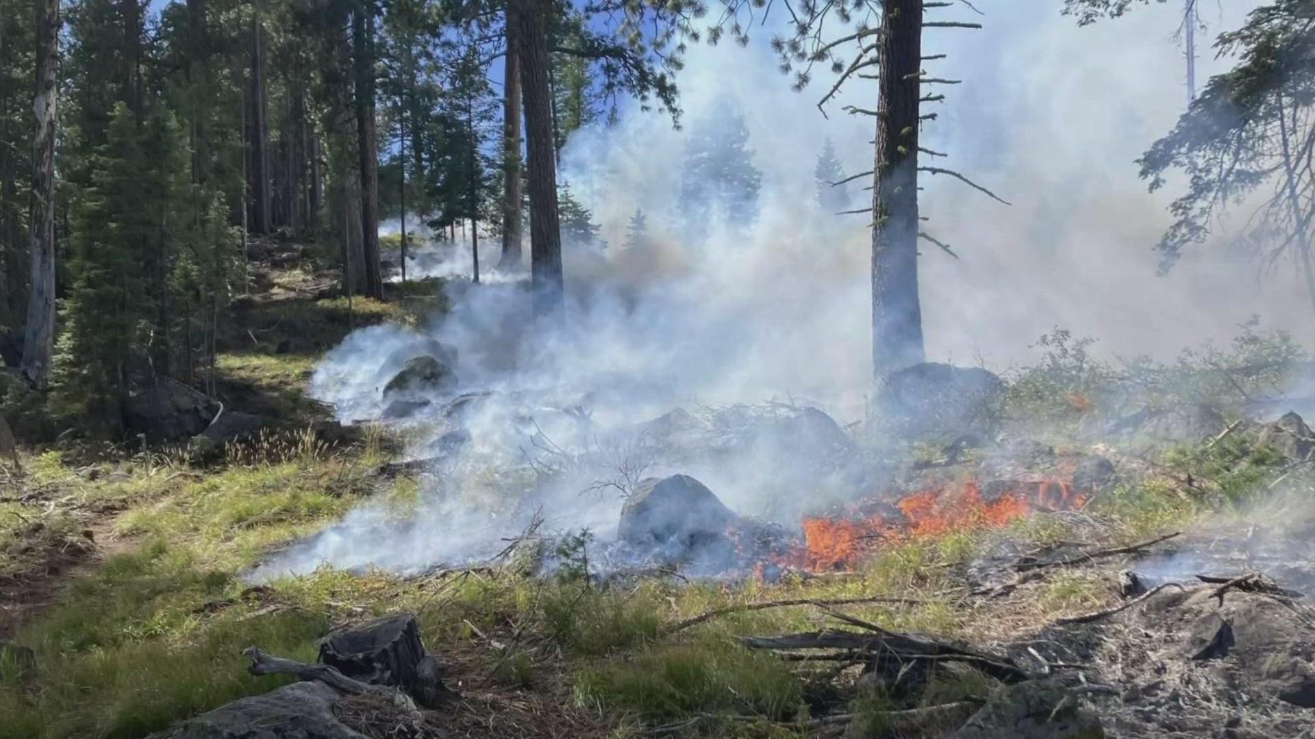
GEM COUNTY, Idaho — Firefighters have stopped the active spread of several wildfires spotted earlier this week between Sweet and Ola in Gem County. The Bureau of Land Management on Friday reported that crews have completed the remaining implementation of fire containment lines, and will continue reinforcing those lines and mopping up hotspots inside the fire perimeters through Friday and Saturday.
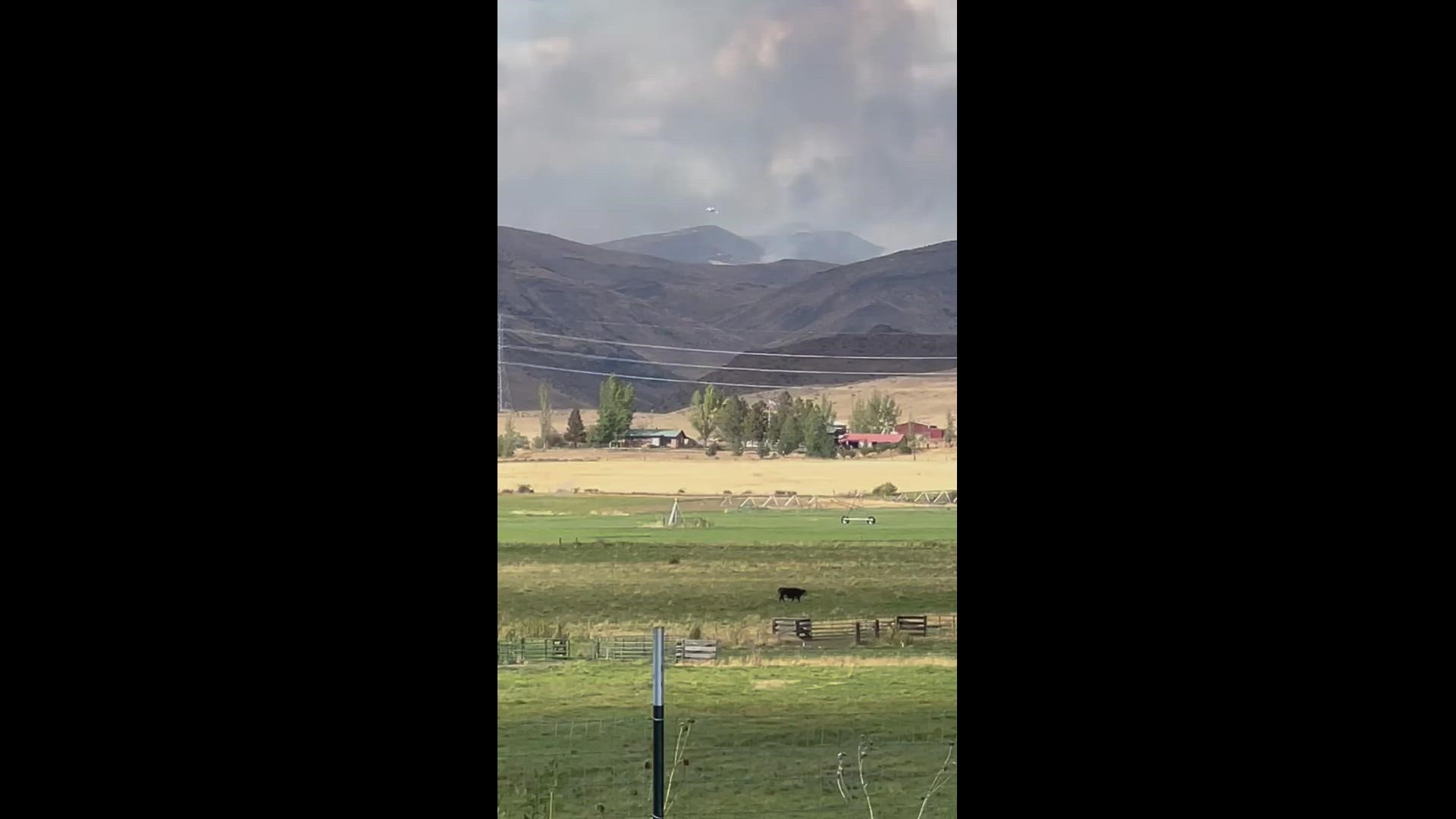
The fires are burning in grass and brush in areas ranging from 15 miles north of Emmett to 29 miles north of Emmett. The Boise District BLM says lightning caused all of them. Several people in Gem County reported on social media that they had seen and smelled smoke from the fires on Thursday.
Video from Sept. 29, 2022, in Sweet, Idaho, courtesy David Furst
None of the fires threaten structures. However, the burning of grass and brush impacts wildlife habitat and any grazing for livestock that may have been taking place in the fire areas.
Firefighting aircraft are being shared with all of the fires. Four helicopters are being used Friday. The aircraft used Thursday included one very large air tanker, three large air tankers, eight single-engine air tankers, one air attack, one lead plane and three helicopters.
Read on for updates on each fire.
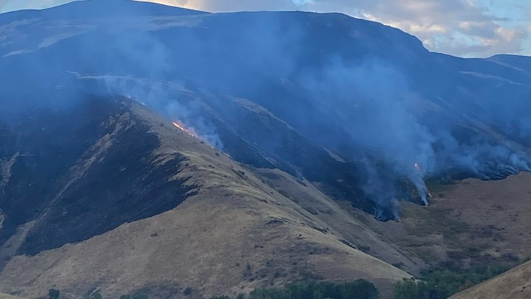
Flat Fire: 15 miles north of Emmett
- Road closures: None
- Mapped size of 980 acres (previously estimated at 1,000)
- Contained: 9 a.m. on Friday, Sept. 30
- Estimated control: 6 p.m. Friday, Sept. 30
- Resources deployed: Two dozers, two engines, two hand crews, one fuel tender and one water tender.
Border Fire: 21 miles north of Emmett
- Merged with Jake Fire at 5:30 p.m. Thursday, Sept. 29
- Road closures: None
- Mapped size of 9,149 acres
- Estimated containment: Friday, Sept. 30 at noon
- Estimated control: Saturday, Oct. 1 at 6 p.m.
- Resources deployed: Smoke jumpers, four dozers, four engines and two hand crews.
Hog Fire: 27 miles north of Emmett
- Road closures: None
- Mapped size of 1,280 acres
- Contained at 6 p.m. Thursday, Sept. 29
- Estimated control time: 6 p.m. Friday, Sept. 30
- Resources deployed: One dozer and six engines; shared with Hog Fire.
Sheep Fire: 29 miles north of Emmett
- Road closures: None
- Mapped size of 510 acres
- Estimated containment time: 2 p.m. Friday, Sept. 30
- Estimated control time: Saturday, Oct. 1 (hour not specified)
- Resources deployed: Smoke jumpers and two hand crews.
Biggy Fire: 27 miles north of Emmett
- Road closures: None
- Estimated size: 9 acres
- Contained: 6 p.m. Thursday, Sept. 29
- Estimated control time: 6 p.m. Friday, Sept. 30
- The Biggy and Hog fires are sharing resources
Watch more on wildfires in the West:
See all of our latest coverage in our YouTube playlist:
IDAHO WILDFIRE NEWS: Idaho's largest wildfire of 2022 started with unattended campfire, investigators say