Tony shows how, when remnants of Ian will impact Maryland
![WBAL logo]()
Updated: 5:40 PM EDT Sep 28, 2022
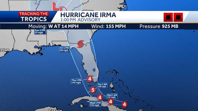
WEATHER AT HOME AND HAVE A STORM MIGHT IMPACT IS HERE IN MARYLAND. RIGHT NOW, THE WEATHER IS QUIET, 60 DEGREES AT THE AIRPORT. NORTHWEST WIND AT EIGHT DEGREES. -- EIGHT MILES PER HOUR. TEMPERATURES WILL DROP IN THE 50’S OVERHEAD TONIGHT BUT IT IS IN THE MID 60’S. LIKE LAST NIGHT, WE’VE GOT REIGN OVER US. THE RAIN WILL NOT REACH US IN MARYLAND. IT WILL DISSIPATE BEFORE IT GETS THIS FAR SOUTH, BUT THAT HAS BEEN THE CASE LAST COUPLE OF DAYS. THERE’S BEEN RAIN IN NEW YORK STATE AND WE MISSED OUT ON IT. THAT WILL BE THE CASE TOMORROW. OUR NEXT WEATHER IS GOING TO BE FROM THE HURRICANE, SO LET’S TALK ABOUT THAT. YOU CAN SEE THE EYEBALL TO THE NORTH OF THE FORT MYERS. THE STORM IS TRYING TO MOVE INLAND. SUSTAINED WIND 140 MILE PER HOUR. UNTIL THE WHOLE I GETS OVERLAND, THE STORM IS NOT GOING TO WEAKEN MUCH. THE FORT MYERS AREA IS GOING TO GET BATTERED FOR THE NEXT THREE OR FOUR HOURS INTO THE OVERNIGHT. HERE IS THE LATEST FORECAST TRACK FROM THE HURRICANE CENTER. IT’S GOING TO CROSS OVER FLORIDA, COME OUT OVER THE GULF STREAM, GET STRONGER LATE THURSDAY NIGHT AND POSSIBLY MAKE ANOTHER LANDFALL AS A TROPICAL STORM IN SOUTH CAROLINA. WHERE IT GOES AFTER THAT, THAT IS OUR CONCERN UP HERE IN MARYLAND. IT’S NOT GOING TO BE A TROPICAL STORM OR HURRICANE WHEN IT GETS HERE, BUT WE ARE GOING TO SEE SOME RAIN AND SOME COULD BE HEAVY. TAKE A LOOK AT FUTURECAST, SAID THE TIME FRAME OVER THE NEXT COUPLE OF DAYS. THIS IS TOMORROW, A FEW CLOUDS COMING IN FROM THE HURRICANE BUT STILL DRY. SAME THING ON FRIDAY, MOSTLY CLOUDY BUT I THINK THE RAIN IS GOING TO HOLD OFF UNTIL FRIDAY NIGHT. THIS IS 3:00 IN THE AFTERNOON, YOU CAN SEE SHOWERS APPROACHING OCEAN CITY AT THAT TIME. AND THEN, THAT RAIN AT SHIELD IS GOING TO MOVE TOWARD US ON SATURDAY, SOME OF THE RAIN COULD BE HEAVY ON SATURDAY. COULD PICK UP AN INCH OR TWO OF RAIN. IT’S GOING TO BE CHILLY WITH TEMPERATURES IN THE 60’S. CLEAR TO PARTLY CLOUDY TONIGHT, DROPPING BACK INTO THE UPPER 40’S AND LOW 50’S. DURING THE DAY TOMORROW, MIXED OR OF SUNSHINE AND CLOUDS, A DAY LIKE TODAY, NOT BAD. HIGH TEMPERATURES WILL RANGE BETWEEN 66 AND 71 DEGREES. SEVEN-DAY FORECAST, FRIDAY THE CLOUDS COME IN BUT THE RAIN SHOULD HOLD OFF UNTIL FRIDAY NIGHT. THEN ON SATURDAY, WE COULD GET TIMES OF HEAVY RAIN. IT IS GOING TO BE WINDY, TEMPERATURES IN THE 60’S. IT DOES LOOK A LITTLE BETTER NOW ON SUNDAY, STILL A CHANCE FOR RAIN FOR THE RAVENS GAME BUT I THINK THE HEAVIEST STUFF WILL BE ON SATURDAY. THE
Tony shows how, when remnants of Ian will impact Maryland
![WBAL logo]()
Updated: 5:40 PM EDT Sep 28, 2022
Meteorologist Tony Pann shows the latest track for Hurricane Ian, which made landfall in Florida, and when it will have an impact on Maryland weather.More details on Hurricane IanIan made landfall around 3:05 p.m. as a major hurricane with 150 mph winds, bringing catastrophic impacts to southwestern Florida. Hurricane warnings are in place across parts of the state as residents are ordered to evacuate.Life-threatening storm surge will impact the Florida west coast as well as the Florida Keys. A storm surge warning is in effect for those locations. Some of the highest inundation levels are expected from Naples to Sarasota where storm surge could exceed 9 feet. Hurricane winds will affect areas within the hurricane warned zones and catastrophic storm damage will likely result.In addition to storm surge and hurricane force winds, heavy rains will overspread Florida through Thursday with some areas receiving upwards of 15-25 inches of rain. Life-threatening flooding and record river flooding will likely result as Ian crosses the Florida peninsula.Track the tropics: Hurricane maps|| Radar | Closings/Delays | Weather Advisories | Forecast | Email Alerts | Send us your pics ||Video below: Inside look at damaging winds during hurricane
BALTIMORE — Meteorologist Tony Pann shows the latest track for Hurricane Ian, which made landfall in Florida, and when it will have an impact on Maryland weather.
More details on Hurricane Ian
Ian made landfall around 3:05 p.m. as a major hurricane with 150 mph winds, bringing catastrophic impacts to southwestern Florida. Hurricane warnings are in place across parts of the state as residents are ordered to evacuate.
Life-threatening storm surge will impact the Florida west coast as well as the Florida Keys. A storm surge warning is in effect for those locations. Some of the highest inundation levels are expected from Naples to Sarasota where storm surge could exceed 9 feet. Hurricane winds will affect areas within the hurricane warned zones and catastrophic storm damage will likely result.
In addition to storm surge and hurricane force winds, heavy rains will overspread Florida through Thursday with some areas receiving upwards of 15-25 inches of rain. Life-threatening flooding and record river flooding will likely result as Ian crosses the Florida peninsula.
Track the tropics: Hurricane maps
|| Radar | Closings/Delays | Weather Advisories | Forecast | Email Alerts | Send us your pics ||
Video below: Inside look at damaging winds during hurricane


