Hurricane Ian: Here's what to expect if you live in South Florida
MIAMI - Yes, we are out of the cone of concern, but if you live in South Florida, Monday afternoon should have given you a taste of what to expect from Hurricane Ian over the next couple of days.
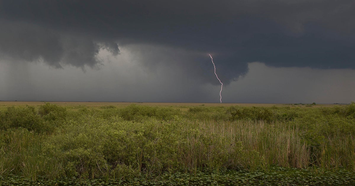
The National Weather Service says impacts are expected to extend well beyond the cone of concern.
On Monday evening, feeder bands from Hurricane Ian, which was located south of Cuba, moved through the area bringing heavy rain and strong winds.
On Tuesday, schools will be closed in Monroe County. Schools will open in Broward, Miami-Dade and Palm Beach counties, but after-school activities have been canceled in Broward.
All of South Florida is under a Flood Watch through Thursday morning. This does not mean flooding will occur, but it is possible.
If you are going to be driving, give yourself enough time to deal with traffic and arrive safely and on time.
South Florida emergency officials are reminding residents that flood concerns are in effect for the tri-county area and that tropical storm force winds could lead to the formation of tornadoes.
Officials estimate 3 to 8 inches of rain through Thursday with flash and urban flooding possible.
For sandbag distribution sites throughout South Florida, click here.
Here's important information and some safety tips to keep in mind over the next couple of days:
• The Florida Division of Emergency Management (FDEM) has activated the State Assistance Information Line (SAIL) to provide an additional resource for Floridians to receive up-to-date information regarding Hurricane Ian. Residents and visitors can call this toll-free hotline at 1-800-342-3557.
• Stay away from downed power lines and electrical wires: Electrocution is a major killer in floods. Electrical current can travel through water. Report downed power lines to Florida Power and Light's customer service number at (305) 442-8770.
• Familiarize yourself with the terms that are used to identify a flood hazard: A flood watch or flash flood watch means there is a possibility of flooding or a flash flood in your area. A flood warning means a flood is occurring or will likely occur soon. If you are advised to evacuate, do so immediately. A flash flood warning means a flash flood is occurring. Seek higher ground immediately; do not wait for instructions.
• It is never safe to drive or walk into flood waters: Don't drive or walk around road barriers, or through large puddles. Hidden debris may be just under the surface that could hurt you or disable your car.
• Don't drive through a flooded road.
• Don't underestimate the power of water: 6 inches of fast-moving flood water can knock over an adult. It takes just 12 inches of rushing water to carry away a small car, while 2 feet of rushing water can carry away most vehicles.
• Bring in outside furniture and small objects. Do not touch an electric appliance if you are wet or standing in water.
• You should have flashlights, batteries, cash, and first aid supplies. Don't forget to also include supplies for your pets.
• Talk to your insurance provider about your policy and consider if you need additional coverage for your home and/or business.
For the latest on Hurricane Ian, check out our Tracking the Tropics page.