Report: These are the South Coast towns predicted to be underwater in the not-too-distant future
A 10-year storm could flood more than a quarter of buildings in Wareham by 2050, the report noted.
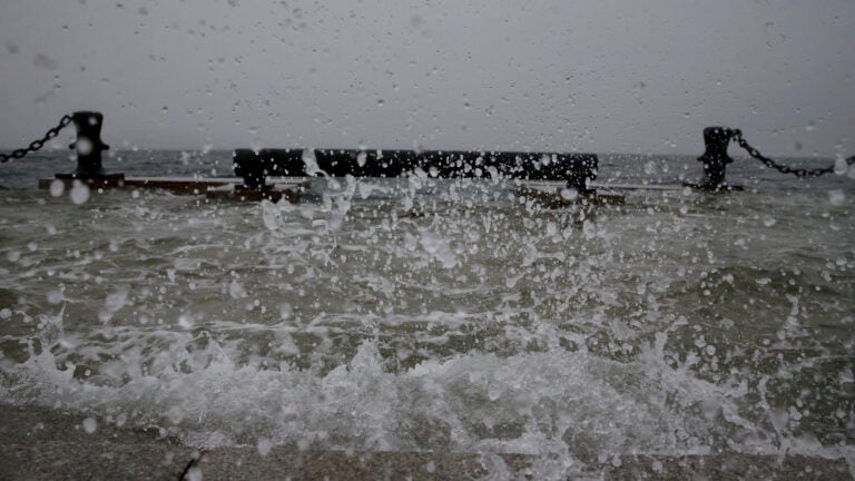
Rising tides are expected to flood several communities along the South Coast within the next 30 years, impacting the fishing industry and further eroding iconic — and ecologically rich — salt marshes, according to a new report.
The report, from conservation non-profit The Trustees of Reservations, considers the impacts of rapidly rising water levels along the coast. Daily high tides are projected to rise 2.6 feet by 2050 and more than 4 feet by 2070, the group reported.
The Trustees’ third annual “State of the Coast” report takes a look at the 14 towns that border Buzzards Bay and Narragansett Bay. In addition to rising tides, the South Coast is projected to see more frequent and intense storms if carbon emissions remain high, according to the report.
Which towns are most at-risk?
The towns of Wareham, Bourne, Marion, and Mattapoisett are particularly vulnerable, given their position at the terminal end of Buzzards Bay.
“As storms enter the bay, a ‘funnel’ effect forces more water up through the Bay and into low-lying neighborhoods and town centers,” the report explained.
More than 13,000 structures around Buzzards Bay could be flooded in a 10-year storm, with more than half of them in Wareham and Bourne alone. Due to Wareham’s location and low-lying infrastructure, a 10-year storm could inundate more than a quarter of all buildings in town as soon as 2050, the report noted.
Flood risk:

“We’re trying to get economic development going, but along with that comes the responsibility for climate change, sea level rise, and what we do about the coastline,” Wareham Director of Planning and Community Development Kenneth Buckland said in the report.
Impacts vary by community; New Bedford, for example, has a hurricane barrier dating back to the mid-’60s, designed to keep water in the harbor below a certain level and protect the port from large storms.
High tides could mean the hurricane barrier closes more frequently — perhaps as often as once or twice a day by 2050, if the barrier is closed at the same water level as it is today. By comparison, the barrier closed a total of 26 times in 2019.
Towns exposed to open ocean, like Westport and Dartmouth, will see infrastructure damage, flooding, and more erosion from storms and wave energy, the Trustees noted.
What will happen to the fish?
Rising seas similarly endanger salt marshes, which allow the landscape to keep up with higher water levels and which play a role in slowing climate change through carbon sequestration. South Coast’s marsh is disappearing or converting much faster than in other regions in Massachusetts, with a 23% loss in total marsh projected by 2050, according to the report.
The Trustees also projected beach erosion, as well as a decline in water quality due to rising floodwaters, higher water temperatures, and stormwater runoff. The result: devastating impacts on fish, shellfish, and other animals relying on the coast’s ecosystems.
Ultimately, rising waters leave those on the South Coast with difficult decisions ahead.
“For some residents and business owners, retreat may be the only viable option when adaptation is not possible or realistic due to the frequency or magnitude of flooding,” the report said.
Speaking to the Boston Globe, Buckland also mentioned the possibility of retreat.
“Where people can afford it, we need to look at retreat and moving properties, relocating people out of the floodplain,” he said.
Those decisions will largely be left to homeowners and their bankers, and whether they can justify further investment “before the sea starts lapping at their doorstep,” he told the Globe.