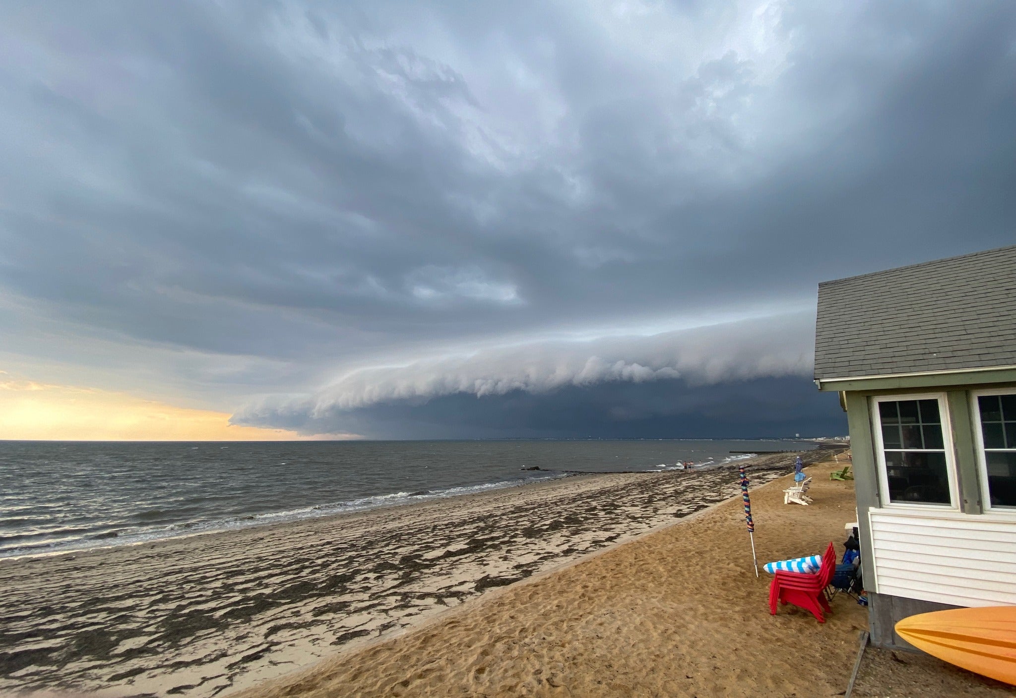
Watch: Stunning shelf cloud travels over Cape Cod
The cloud was photographed near Truro on Tuesday evening.

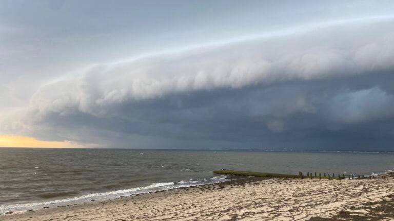
A dramatic shelf cloud at the head of a thunderstorm was caught on camera by many Cape Cod residents and visitors Tuesday evening.
Erin Bibo, 41, was vacationing with her family at their North Truro home when she spotted the cloud darkening the sky and went to a nearby beach to take a video, The Boston Globe reported.
“It was just unbelievable to see those clouds rolling in, and the difference between what the sky looked like,” Bibo, who is visiting from Washington, D.C., told the Globe. “It was moving in pretty quickly, so I wanted to capture it.”
Alan Durham, a meteorologist for the National Weather Service in Norton, said shelf clouds are simply part of a well-developed thunderstorm.
“Sometimes they can be indicative that the storm may become severe, but it happens with almost every thunderstorm that gets to a decent size,” he said.
Local

While shelf clouds aren’t rare, he said, being able to clearly see them is.
“Usually, around here, it’s hazy, and you can’t get good pictures of thunderstorms,” he said. “But when you have individual cells like that, that really stick out, it’s a little bit easier to see.”
Glenn Field, another meteorologist for the National Weather Service, told the Globe that shelf clouds form on the leading edge of strong thunderstorms. He said the intense rain from the thunderstorm’s downdraft cools the air, which then “spreads out and literally acts the way a snowplow does in winter.”
“The cooler air is more dense and it forces the lighter, warmer air upward on the leading edge of the storm,” he told the Globe.
Forceful wind gusts usually arrive with shelf clouds, followed by heavy rain, Field told the newspaper.
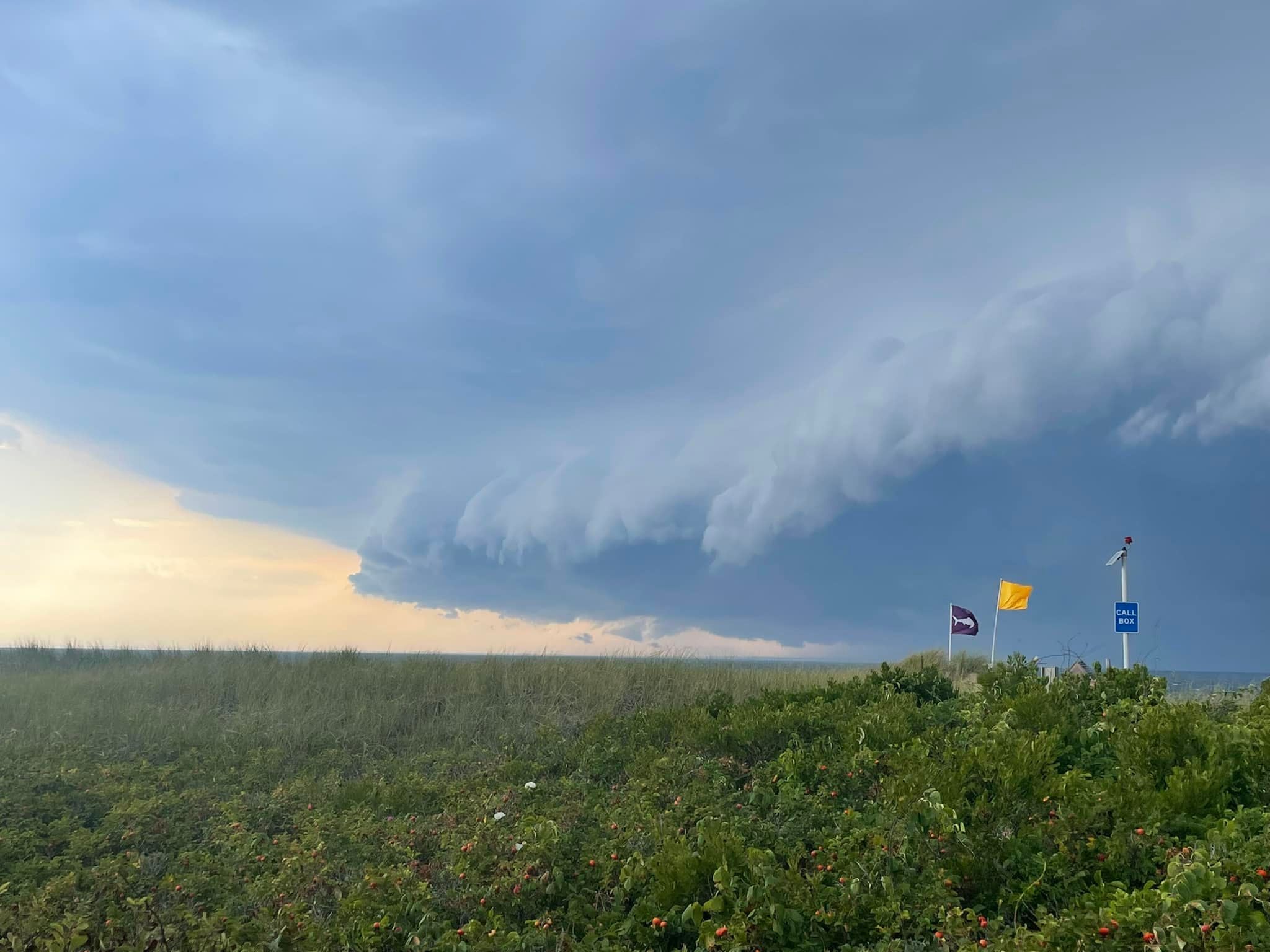
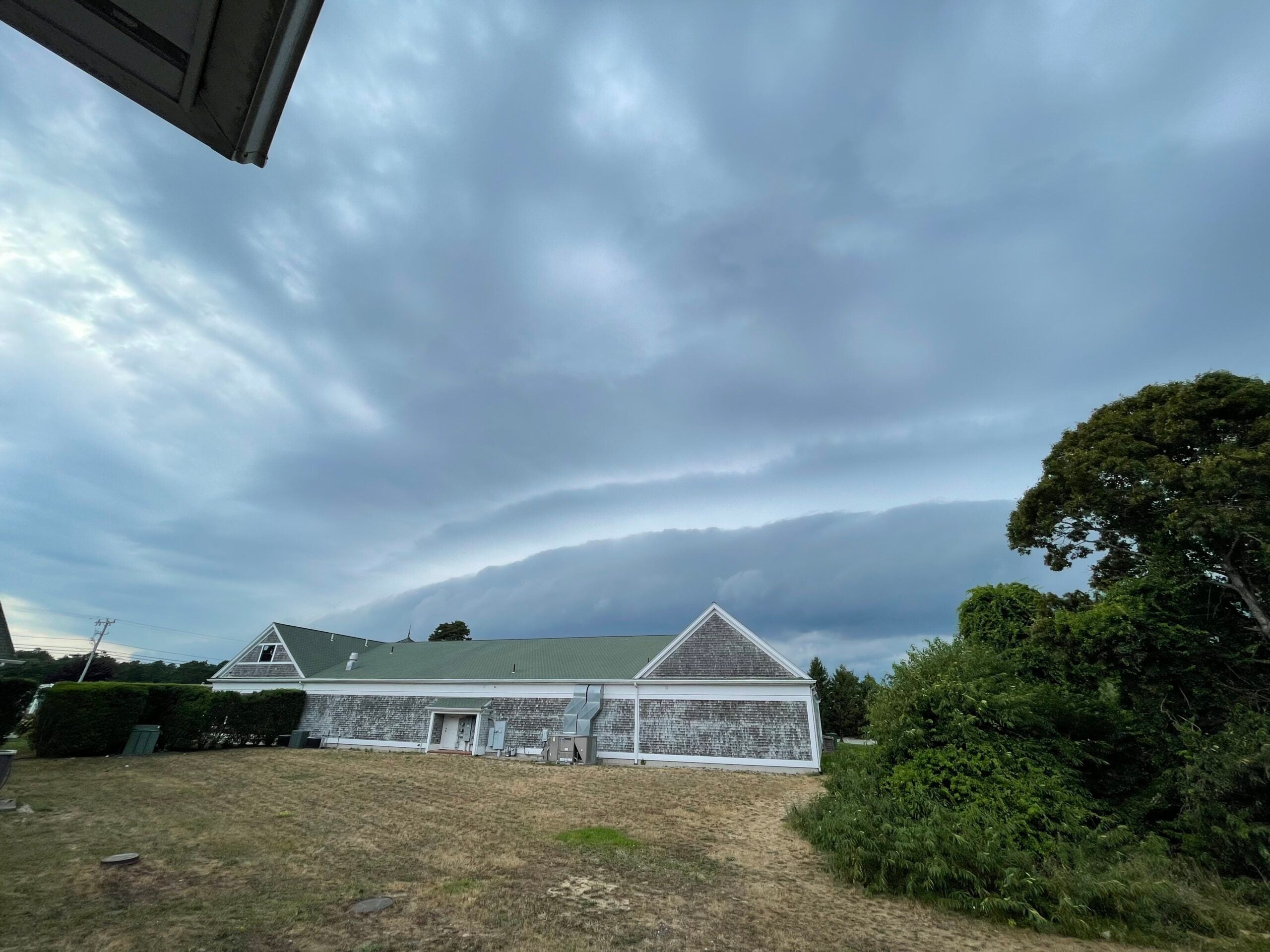
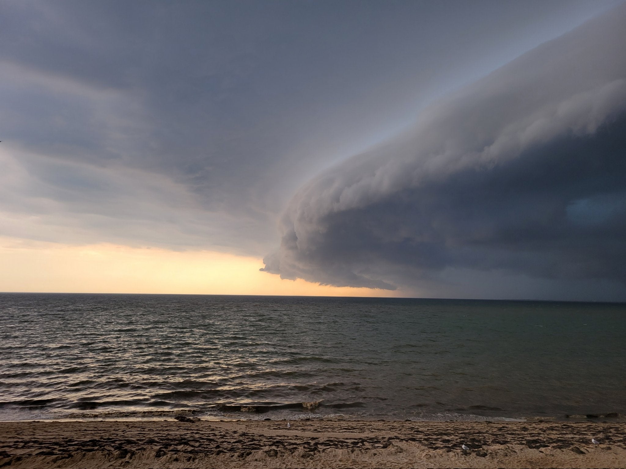
Here are some more photos of the cloud: