Severe thunderstorm watch issued for most of Massachusetts on Saturday

A severe thunderstorm watch has been issued for most of Massachusetts, as StormTeam 5 is monitoring the potential for damaging storms across the state and southern New England on Saturday.
The watch, which is scheduled to end at 9 p.m., is in effect for all of Massachusetts with the exception of Cape Cod and the islands of Martha's Vineyard and Nantucket.
The severe thunderstorm watch also covers all of Rhode Island and Connecticut, as well as areas of southeastern New York and northeastern Pennsylvania.
Southwest winds brought in warmer and more humid conditions for Friday, which set up for some scattered showers and downpours Saturday morning.
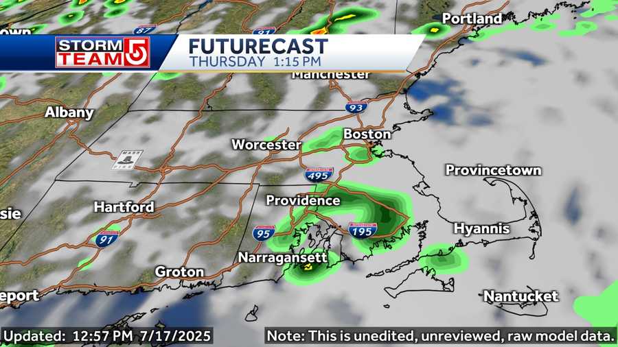
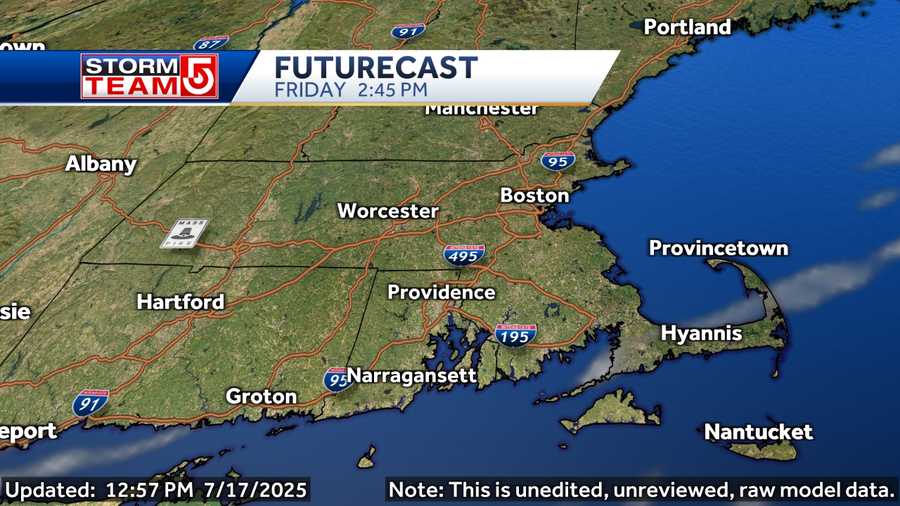
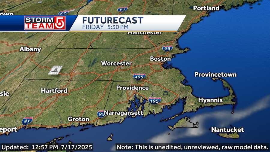
More scattered storms are expected to pop up Saturday afternoon and into the evening hours, but those storms are expected to be strong and severe.
"If you have a barbecue planned for Saturday afternoon, be careful, because there may be some thunderstorms out there," StormTeam 5 Meteorologist Mike Wankum said. "Strong storms are certainly a possibility during the afternoon and the evening."
Track storms with Interactive Radar | Sign up for weather alerts
Saturday morning's showers and storms were followed by a break and some clearing ahead of the more potent round of thunderstorms developing for the afternoon ahead of a cold front.
The amount of clearing areas see will determine how much extra fuel the atmosphere has to trigger stronger storms.
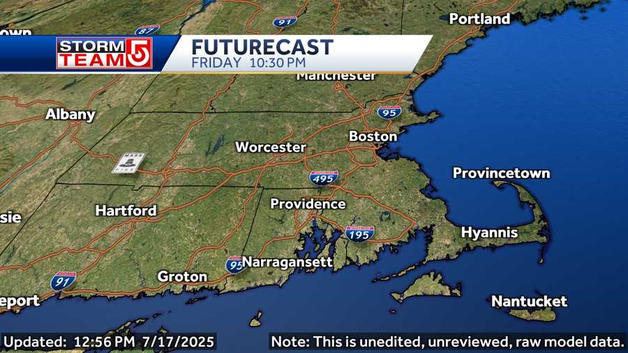
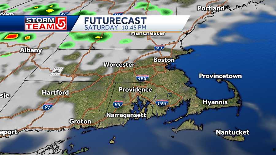
The scattered storms began redeveloping between 2 p.m. and 4 p.m. across northwestern Massachusetts before moving southeast through the rest of the state, along with Connecticut and Rhode Island. Those storms are expected to weaken and shift offshore by 10 p.m.
Some of those storms may produce strong winds capable of localized damage, small hail and frequent lightning strikes. Torrential rain can also be expected, which could produce localized flooding.
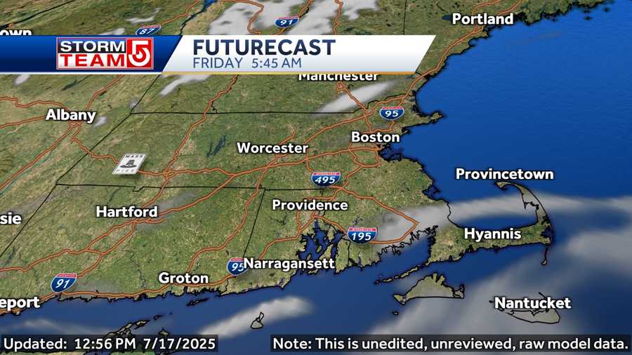
Sunday and the Fourth of July holiday will feature plenty of sunshine with summer warmth and no significant humidity.