
SHREVEPORT, La. (KTAL/KMSS) – It has been a blistering hot Saturday and I see very little change for your Sunday. However, I am expecting increasing rain chances Sunday ahead of a rare summer cold front. In addition, there are a couple of disturbances in the Gulf of Mexico that will bear watching. They will be hugging the coast of the Gulf of Mexico and possibly close to Southeast Louisiana. This may enhance the Seabreeze activity.
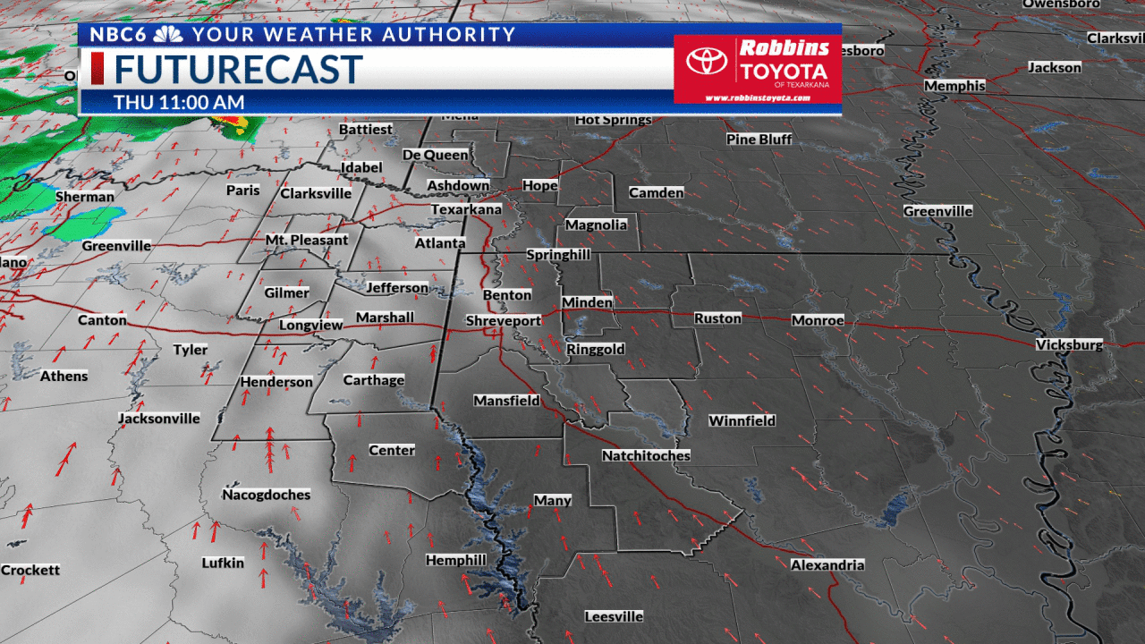
But the main player will be our expected cold front. First, compressional heating will be found ahead of that front with Sunday high temperatures at either side Of 100°. By Sunday night, rain and rumbles may be found over the northern part of the ArkLaTex. Overnight rain and rumbles are possible as the front moves into Northwest Louisiana and East Texas. A few storms may produce gusty winds.

The cold front will stall to our south, but the magic will be the cooler and drier air. In fact, our low temperatures will be in the 60s with highs on either side of 90. Temperatures will rebound somewhat for the latter part of the week. However, the dreaded upper-level high pressure system may not come back with a vengeance. Keep the faith and enjoy the rain and cooler temperatures.