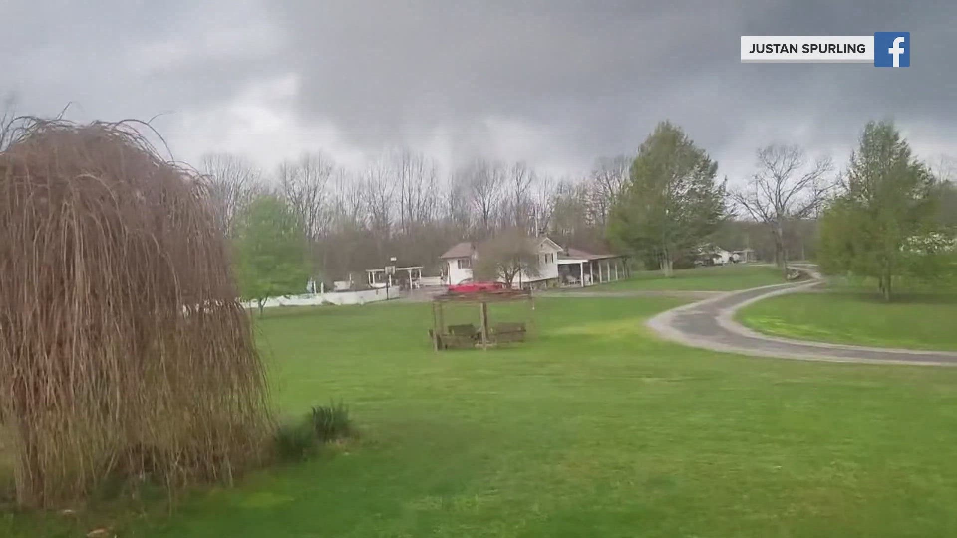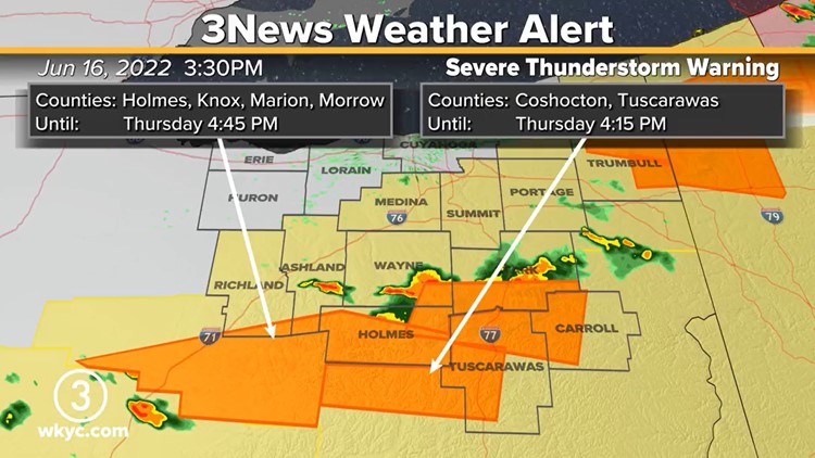
CLEVELAND — The National Weather Service has issued severe thunderstorm warnings and watches affecting several Northeast Ohio counties throughout Thursday.
Alerts have made their way as far north as Ashtabula County and as far south as Holmes County, with Massillon and Millersburg among the communities expected to be hit hardest. Experts say wind gusts of up to 70 miles per hour as well as 2-inch-sized hail is possible, along with heavy rain and lightening.
The following counties are under a severe thunderstorm watch until 9 p.m.:
- Ashland
- Ashtabula
- Carroll
- Geauga
- Holmes
- Mahoning
- Medina
- Portage
- Richland
- Stark
- Summit
- Trumbull
- Tuscarawas
- Wayne
Scattered thunderstorms are expected to spread across Northeast Ohio this afternoon and evening.
"Scattered is going to be the key word," says 3News meteorologist Hollie Strano, "but even so, you could have a stronger or even isolated severe storm that develops. It’s just important to know that you are not all going to deal with it. Many of you are just going to see a lot of sunshine today."
SHORT FORECAST
TODAY: More heat and humidity with scattered storm chances. Low 90s.
FRIDAY: Mostly sunny. Around 80.
SATURDAY: Mostly sunny. Much cooler. Low 70s.
Want to be among the first to know the most important local and national news? Download the free WKYC app and get updates right on your phone: Android, Apple.
More weather coverage: