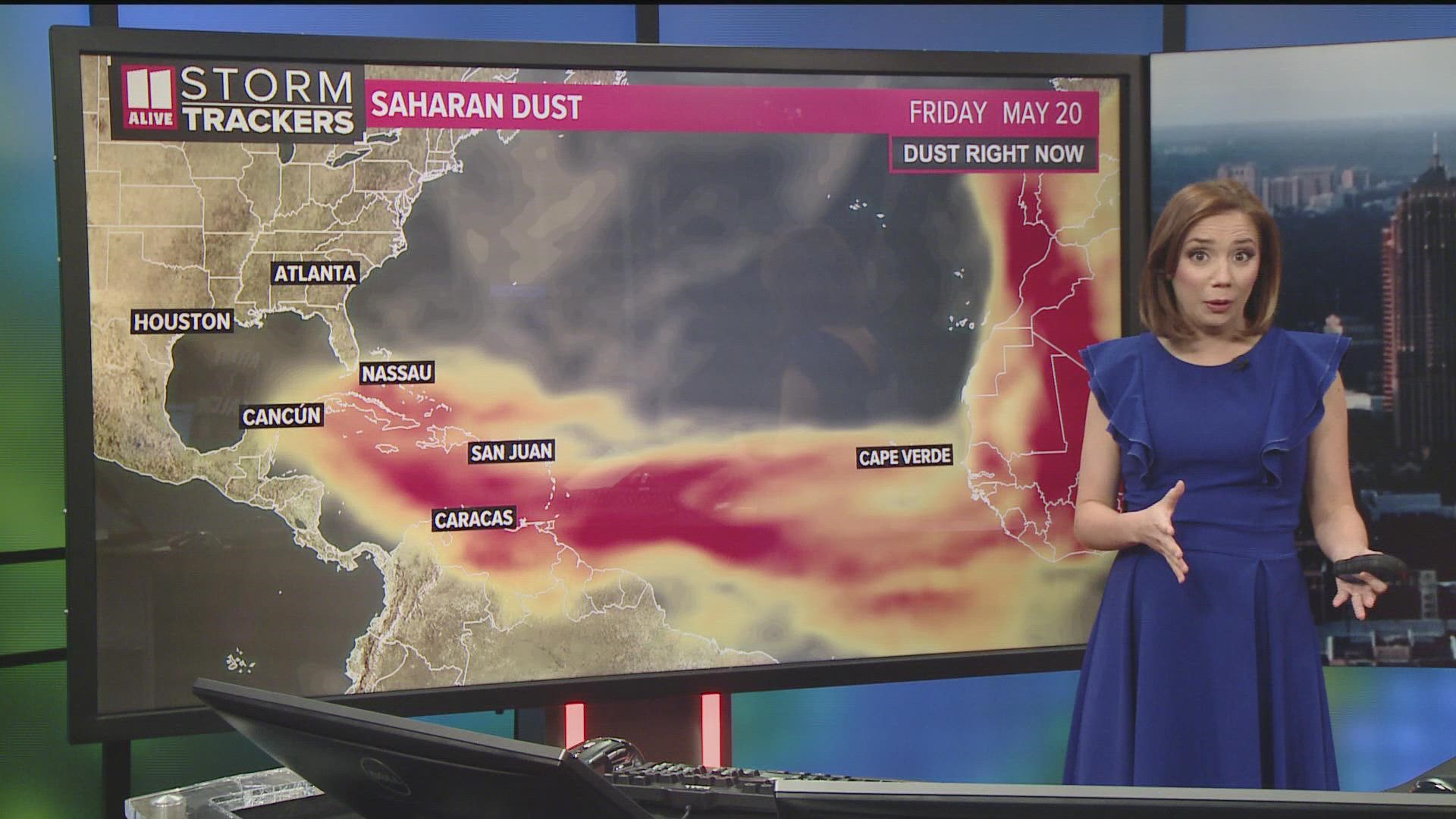
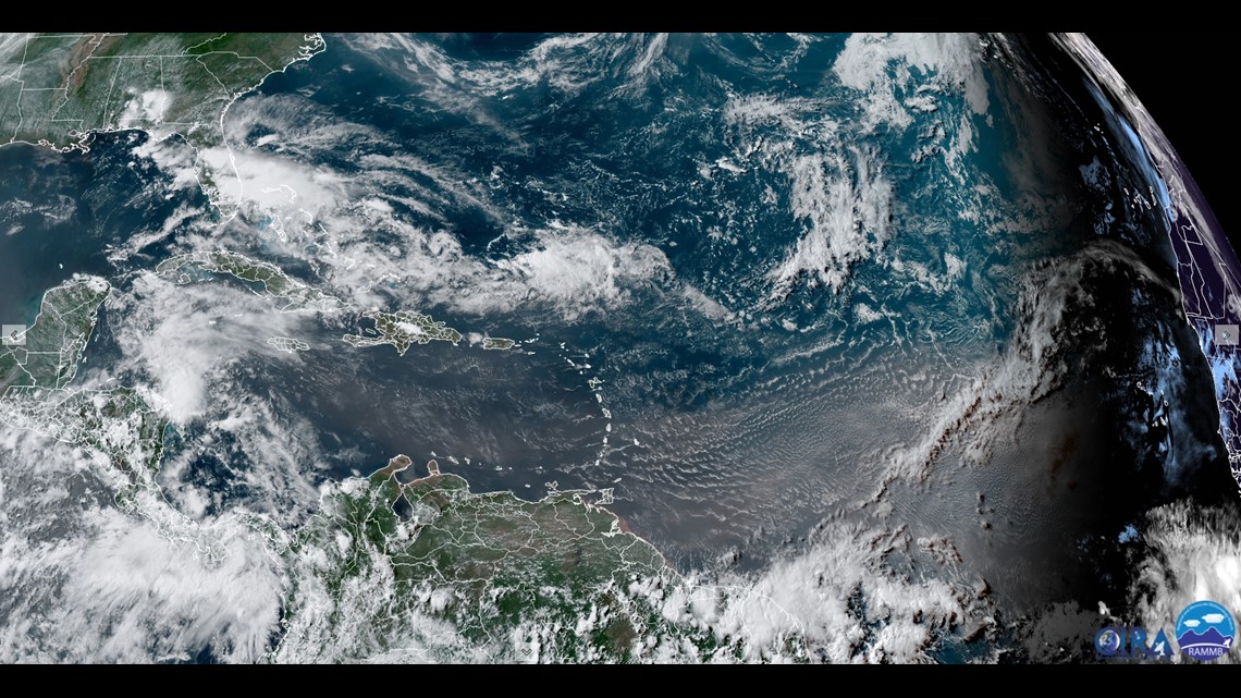
ATLANTA — A giant plume of Saharan dust has been picked up by trade winds and is traveling 4,000 miles across the Atlantic Ocean. It's currently situated over the Caribbean to the Greater and Lesser Antilles, but soon, it will arrive in the southeast.
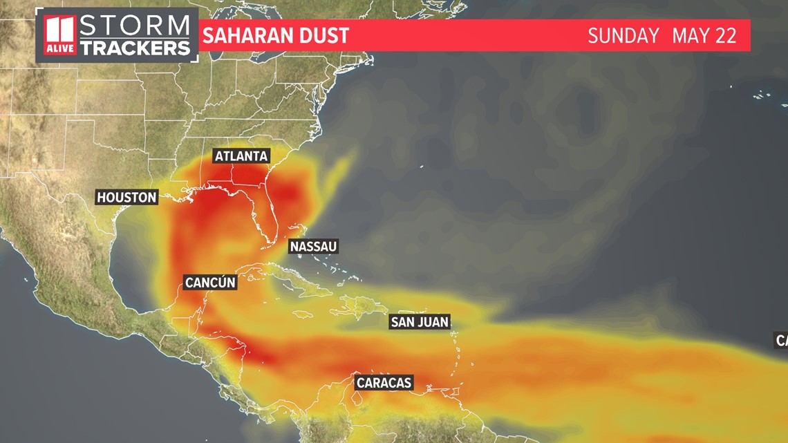
Here's NASA's research model showing it arriving in Florida Saturday, and then in Georgia and parts of the southeast starting Sunday and lingering into next week.

We call this the Saharan Air Layer -- a dry airmass with tiny particles like sand, dirt and dust that originate in the Saharan Desert in Africa. These dust plumes get carried by winds across the Atlantic during the first half of the hurricane season between June and the start of August. So this one is perhaps a little earlier than normal.

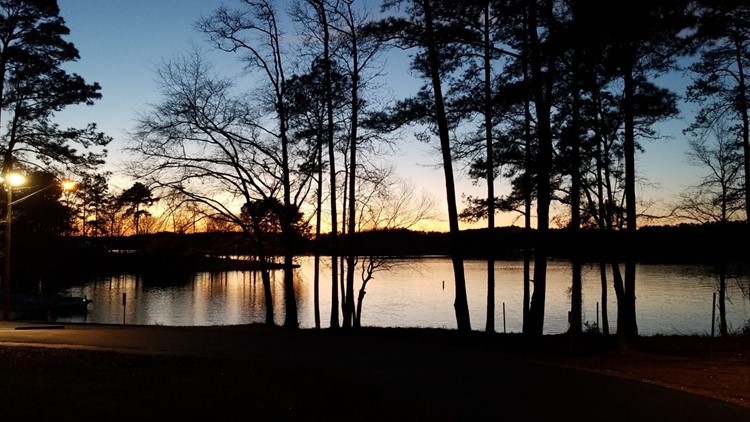
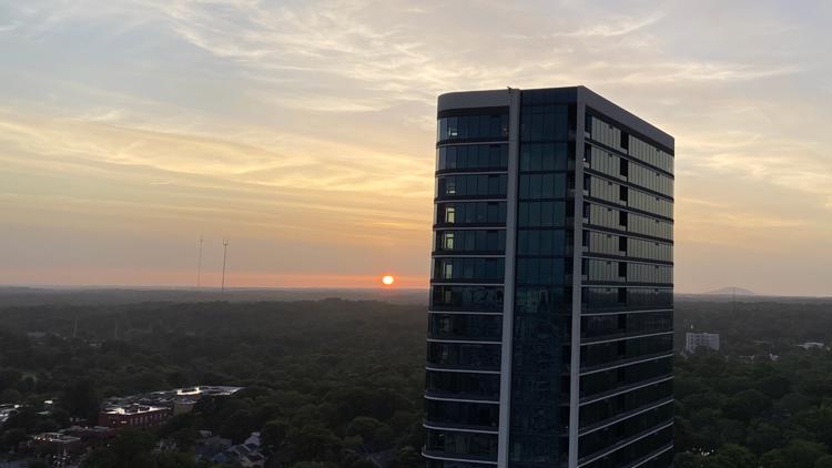
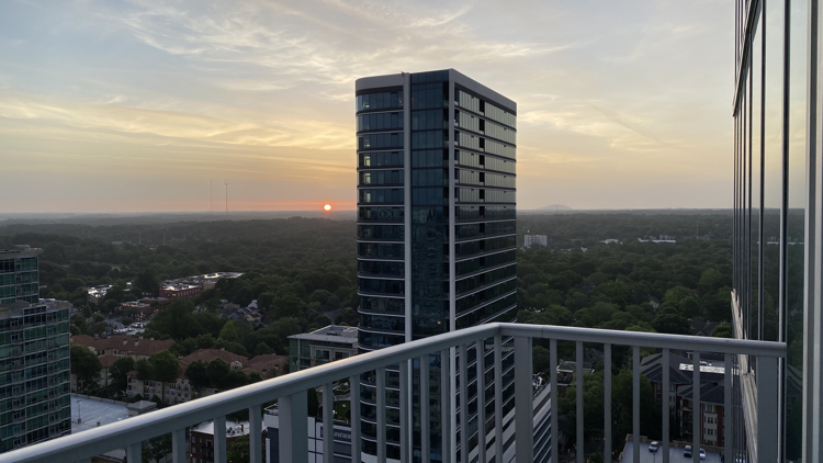
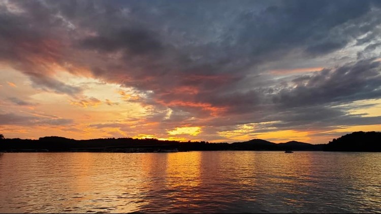
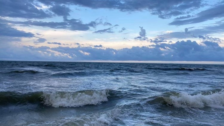
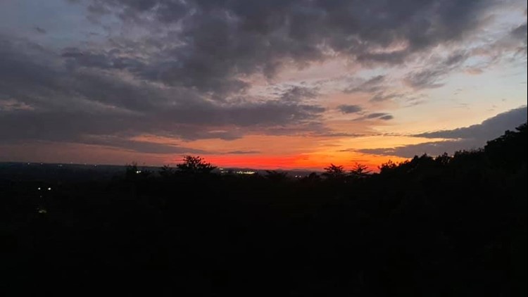
Knowing that some of this dust is heading to Georgia, what does it mean? Well the biggest impact that we can often see are more vibrant sunrises and sunsets.
The fine dust particles scatter the light, creating the red, orange, and pink hues.
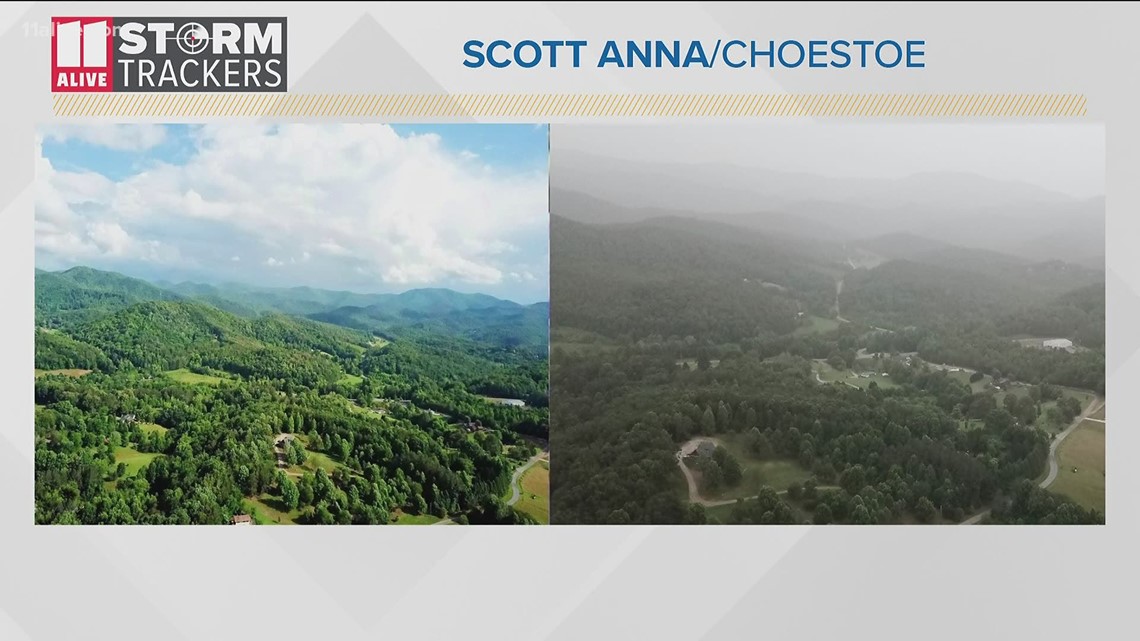
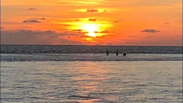
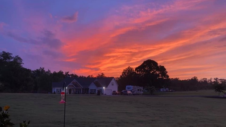
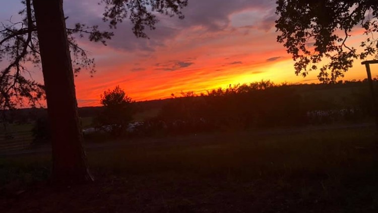
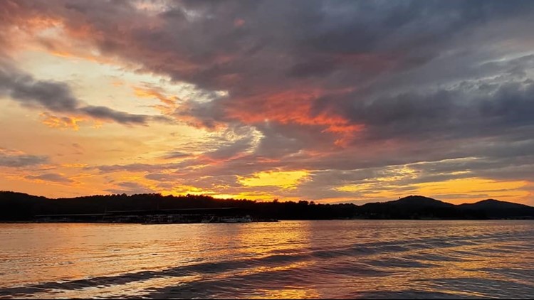
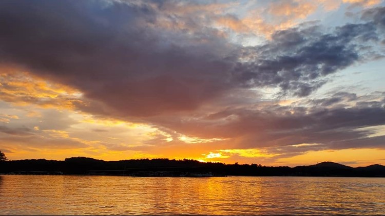
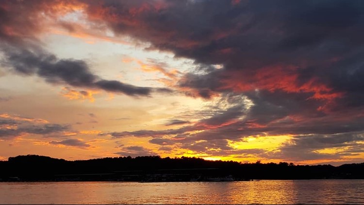
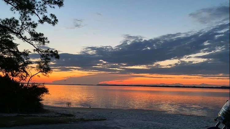
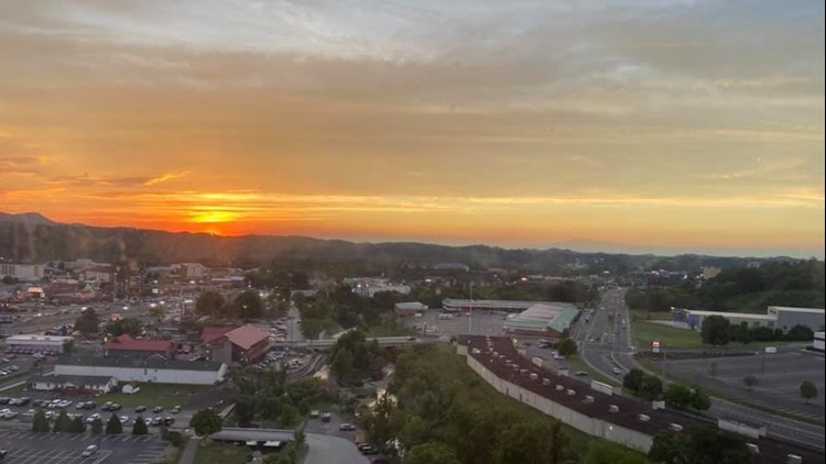
Take for example June 2020 during a dust plume... the first couple of days there were some vibrant sunsets across the southeast. These photos below were taken by our 11Alive community StormTrackers.


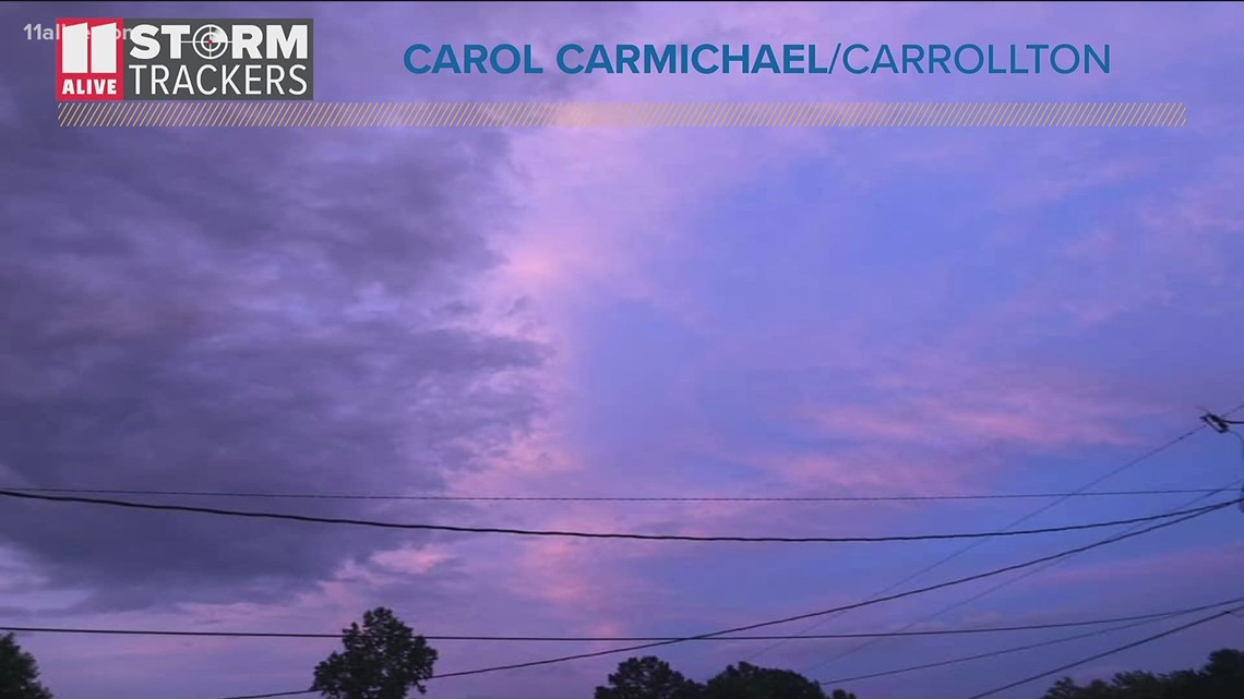
Stunning sunsets from Saharan dust cloud


RELATED: Atlanta needs a good soaking rain | 'Abnormally dry' conditions return across north Georgia
The dust can also act as cloud nuclei, aiding in more cloud formation.
The Saharan Dust can also lead to more problems... hazier skies and a reduction in air quality.