Cheyenne NWS: Winter Storm To Blast Cheyenne, Laramie, SE Wyoming
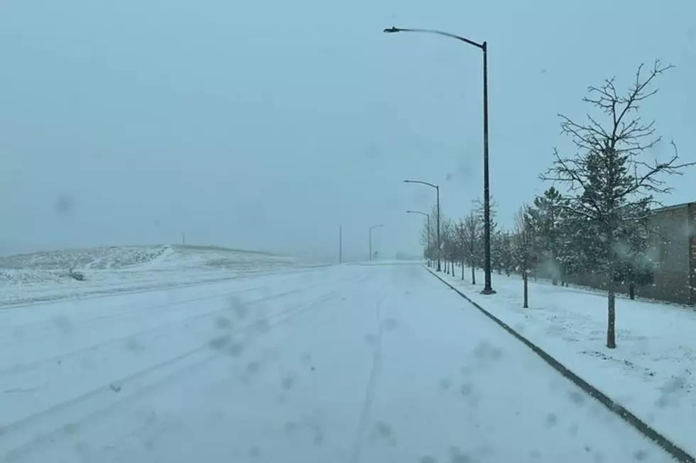
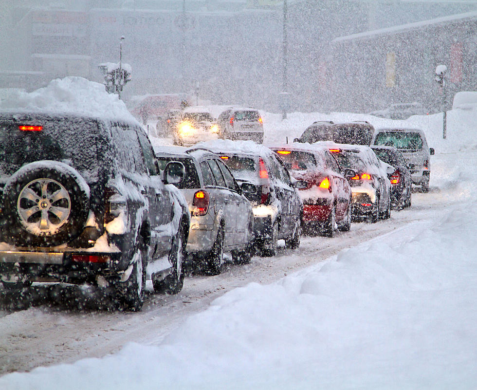
The calendar may say late May, but the Cheyenne Office of the National Weather Service is predicting the return of Old Man Winter to southeast Wyoming starting this evening.
As of Thursday morning, both Cheyenne and Laramie were under a Winter Storm Watch, and just outside of a Winter Storm Warning area which included the Summit between the two cities.
Cheyenne and Laramie Could receive 4-8 inches of snow, while 5-12 inches is possible at higher elevations.
The agency posted this statement on its website:
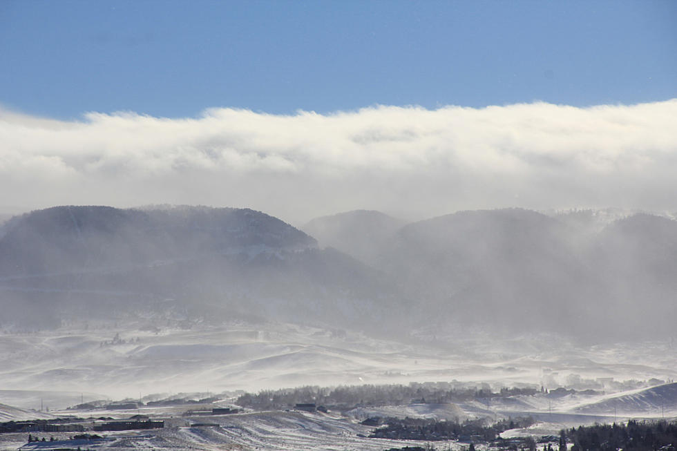
Confidence slowly increasing for mountain and areas of High Plains snow starting late Thursday night behind a strong cold front and continuing through Friday through mid-day Saturday. Heaviest rates will be Friday morning through Friday night across southern Wyoming and portions of the High Plains. Some light snow could also reach into the far southern Nebraska Panhandle. A Winter Storm Watch has already been issued for portions of the area – please look for updates, advisories and warning coming out soon! See the latest at weather.gov/cys.
You can see more details on the expected blast of winter weather here.
Abraham Lincoln Memorial Monument in Pictures
More From KGAB