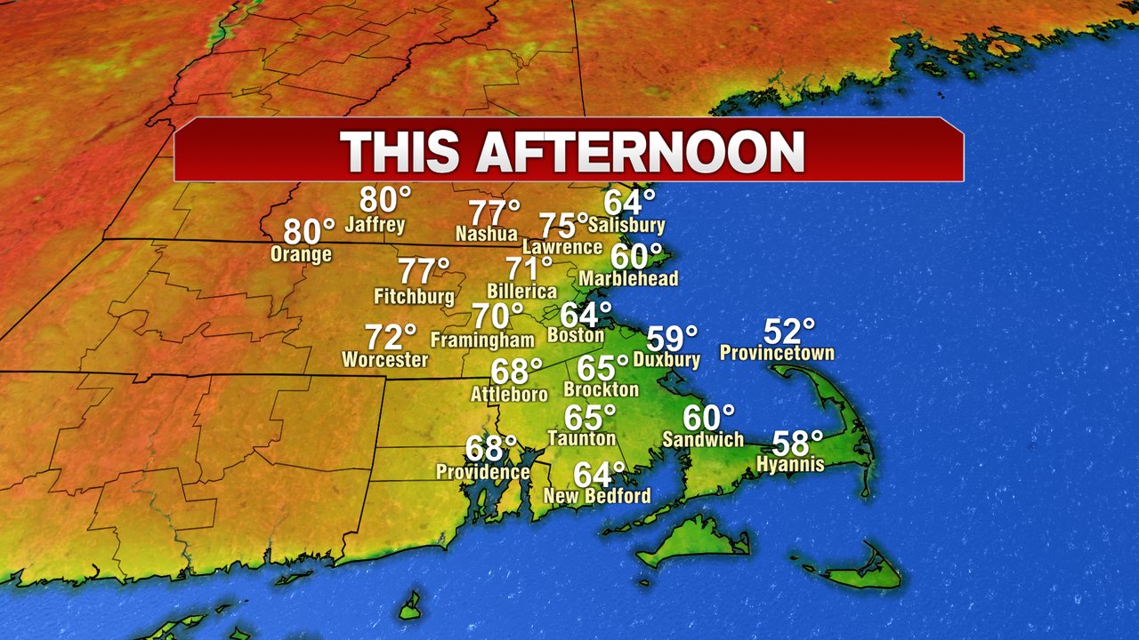
From east to west, it was quite the range in temps yesterday as highs maxed out in the low 50s across coastal Plymouth County to the mid to upper 70s northwest of 495. Today, we’ll once again have a large range in temps from northwest to southeast, but overall, many locations will be several degrees warmer than yesterday. Low clouds and fog are toughest to break near the coast, where they’ll likely linger through the morning. Winds are much lighter today as well. Temps run near 60 at the coast to 75-80 northwest of 495.
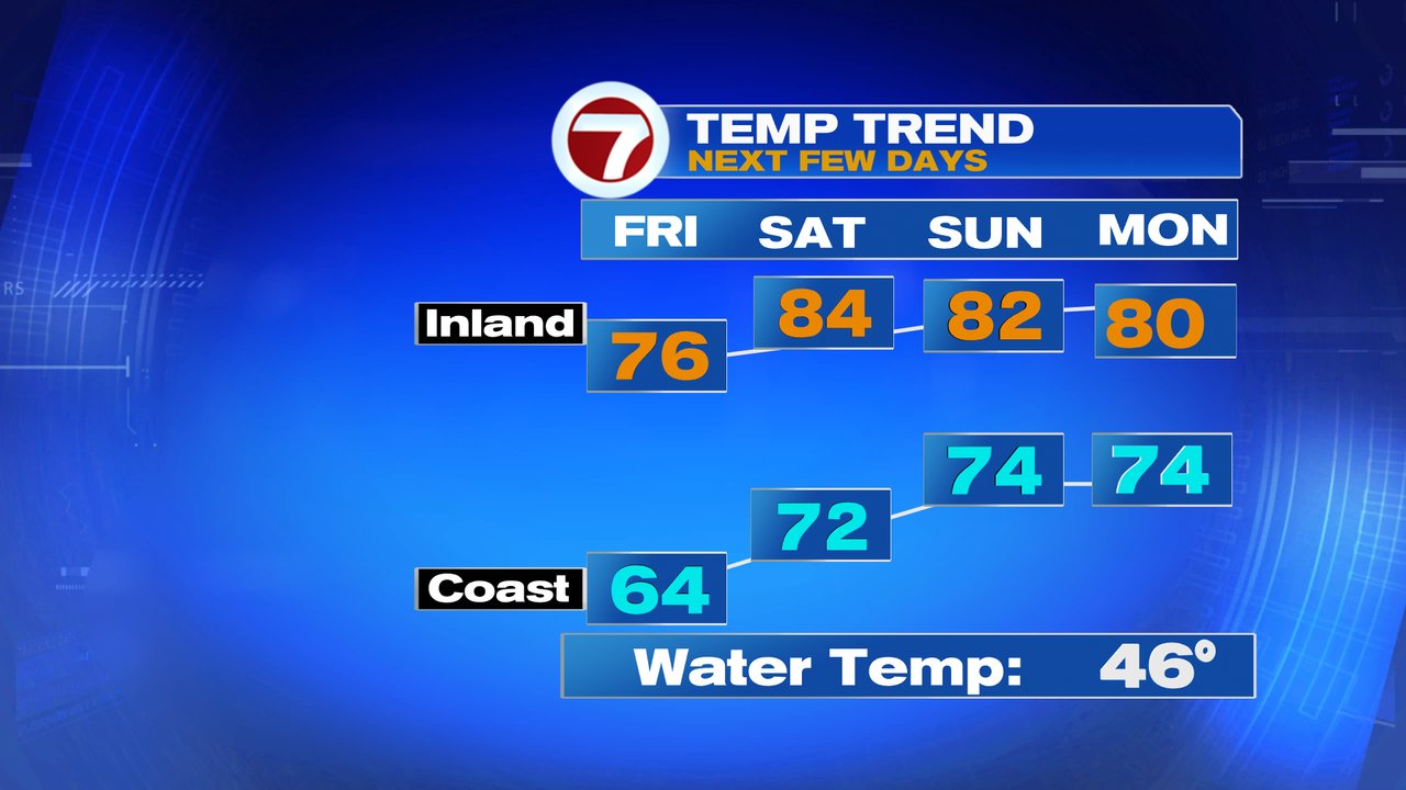
Low clouds and fog start tomorrow again, but the warmer air creeps closer to the coast, with even Boston taking a run at 70. Cape Ann, the South Shore coast and Cape Cod still run in the 60s. Temps run 75-80 inland tomorrow afternoon.
With higher humidity and higher temps, it’s full on summer Saturday with early clouds and fog to sun. Highs run in the low to mid 80s for many, although it’ll be cooler, 70s at the coast (60s Cape/Islands). Sunday and Monday are very warm too. Scattered showers are possible Saturday night, isolated showers around Sunday, but a good chunk of the weekend turns out to be dry. Next Monday will feature the chance for scattered thunderstorms across the area, out ahead of a cold front poised to move through.