Warm And Windy Day Brings Fire Danger Ahead Of Storm Chances
A warm and windy day for your Friday. It will be downright hot for folks out west.Friday, April 29th 2022, 12:40 pm


OKLAHOMA CITY -
UPDATE (5 p.m.):
Tornado Watch for Caddo, Canadian, Cleveland, Comanche, Garfield, Garvin, Grady, Kay, Kingfisher, Lincoln, Logan, McClain, Noble, Okfuskee, Oklahoma, Payne, Pottawatomie, Seminole, Stephens and Tillman County until 12:00am.
A warm and windy day for your Friday.
It will be downright hot for folks out west.
The fire danger is extreme Friday for folks out west behind the dryline.
This is where humidity will drop to around 5%.
On the east side of the dryline we will be warm, humid, windy and will have high instability.
This means if a storm can develop, it will grow very rapidly and would quickly become severe.
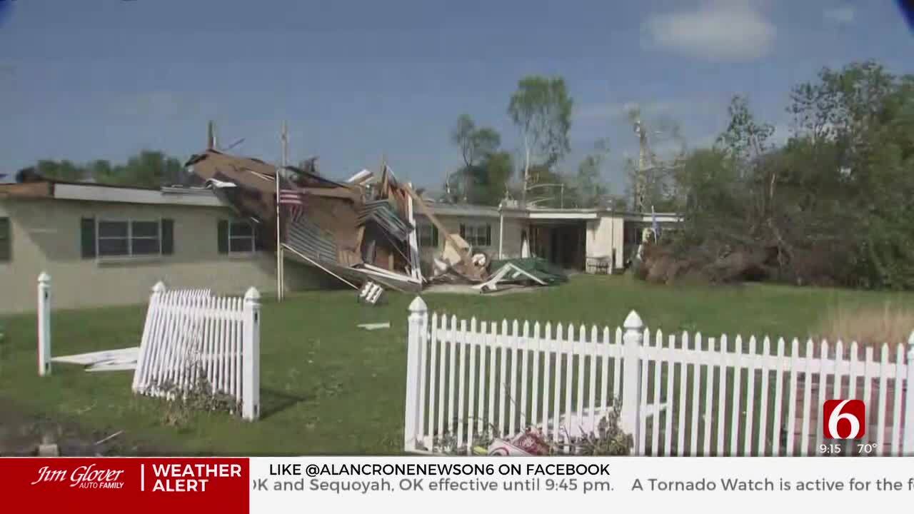
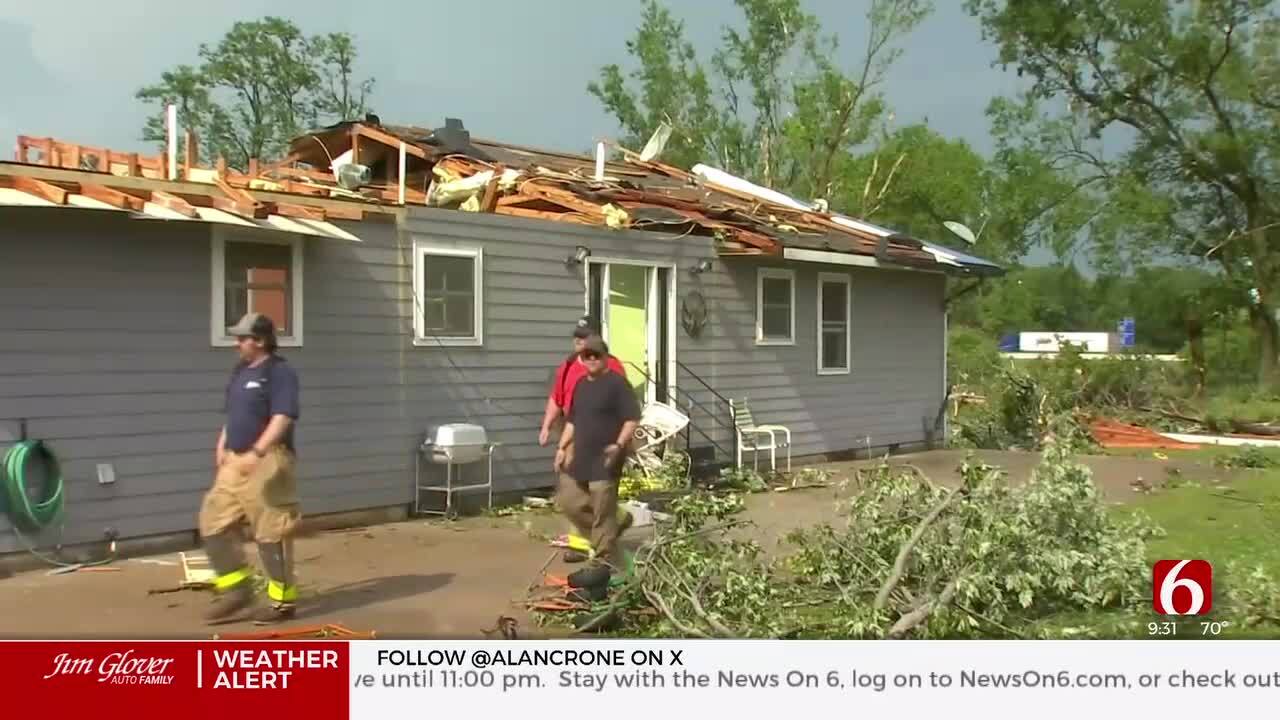
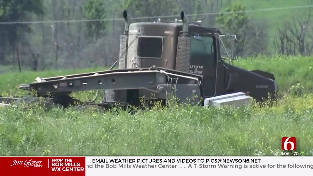
Any storm today will be capable of large hail, damaging winds and tornadoes.
However, the chances for any storm today will be 20%.
On Friday night as the cold front swings in, rain and storm chances will be higher.
These storms between midnight and 5:00 a.m. could also be severe with hail up to golf ball size, winds up to 65 mph and a very low tornado threat.


Get The Daily Update!
Be among the first to get breaking news, weather, and general news updates from News 9 delivered right to your inbox!
More Like This

April 29th, 2022

April 25th, 2024

March 15th, 2024

January 12th, 2024
Top Headlines
May 8th, 2024

May 8th, 2024