
By JULIE TOLLEFSON
KU News Service
LAWRENCE — Researchers at the Kansas Geological Survey at the University of Kansas have teamed with colleagues at three other institutions to investigate what makes some groundwater conservation programs more effective than others.
The project, funded by $1.6 million from the National Science Foundation, focuses on two regions where irrigators have come together to design their own groundwater conservation programs, one in the San Luis Valley in southern Colorado and the other in Sheridan County in northwest Kansas.
The success of the Kansas and Colorado conservation programs has attracted the interest of communities across the United States and abroad, as groundwater levels are declining in many places. Continued unsustainable use will threaten farmers’ livelihoods as well as national and global food supplies.
“We hope our study will help reveal what social and environmental factors have led to successful conservation, which could provide guidance to communities outside our study regions,” said Sam Zipper, assistant scientist at KGS and project co-principal investigator.
The project, “Toward Resilient and Adaptive Community-Driven Management of Groundwater-Dependent Agricultural Systems,” will be led by Landon Marston at Virginia Tech. Purdue University and the Colorado School of Mines are also partners in the research.
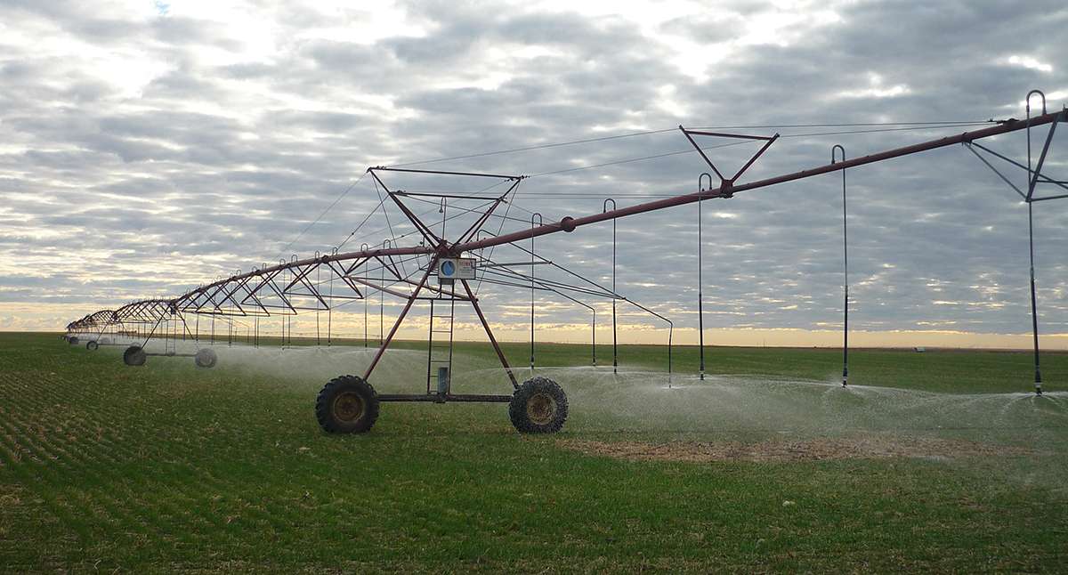
In Kansas, groundwater pumping in the High Plains aquifer, which underlies most of western Kansas, has increased significantly over the last 70 years. A long-running KGS project to monitor water levels in a network of wells across central and western Kansas found that from 1996 through 2020, levels declined more than 11 feet, on average, in Groundwater Management District 4, which includes the Sheridan County study area.

In the Sheridan County program, known as the Sheridan-6 Local Enhanced Management Area, or SD-6 LEMA, irrigators developed a conservation plan to reduce pumping by 20%. Since its inception, members of the SD-6 LEMA have reduced pumping by 32%, exceeding their stated goal, and water-level decline rates have diminished by about 65% without a notable reduction in crop production.
However, the program has operated under ideal conditions, with the region experiencing relatively wet years and stable crop markets.
“The challenge for us is to develop a better understanding of the resilience and transferability of these programs,” said Jim Butler, KGS senior scientist and project co-principal investigator. “In other words, how will they perform in a future characterized by a changing climate and far from stable markets, and will what works in Sheridan County continue to work in different agricultural and hydrologic settings? These are the questions we will strive to answer in our effort to better position the irrigation community in Kansas and elsewhere for what the future may hold.”
The KGS will employ a postdoctoral scholar to develop a computer program, the Crop-Hydrological-Agent Modeling Platform, or CHAMP, to help answer these questions. CHAMP will integrate types of models that are often used separately — groundwater flow, crop production and human decisions — together into a single tool. This integrated approach will allow researchers, irrigators and other interested parties to model how complex relationships among social and environmental factors affect water resources.
CHAMP, along with data collected by other partners in the project through surveys, public document analysis, qualitative interviews and behavioral experiments, will help researchers and others better understand whether self-governing conservation groups are more resilient if their rules respond to changing conditions and are tailored to local needs.
“Successful groundwater conservation requires cooperation among many different users, which makes it challenging to achieve,” Zipper said. “Our understanding of the physics of hydrogeology far outpaces our understanding of how the irrigation community makes water-related decisions and how these decisions ultimately influence water resources and the communities that depend on them.”
The KGS work will build on both data analysis and modeling efforts conducted in northwestern Kansas in the past. Previous KGS work, including studies of the SD-6 LEMA in Sheridan County, was funded by the Kansas Water Office, U.S. Department of Agriculture and the National Science Foundation.