


Warmer temps returning as November ends
MACON, Georgia. (41NBC/WMGT) – A shift in the wind direction will allow temperatures to climb well above average to begin December.
Today
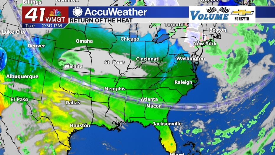
The final morning of December was one of if not the coldest for many locations in Middle Georgia. Temperatures for most of the region fell below freezing with some falling as low as 27 degrees. Fortunately the winds were calm out the door, limiting the wind chill on a clear but cold morning. Temperatures will quickly warm up, however; highs today are going to be between 5 and 10 degrees warmer than yesterday with more locations leaning towards the 10 degree mark, topping off in the mid to upper 60s. A large reason for the warmup is continued clear skies and a wind shift from the northwest to the west-southwest. The west-southwest winds will add little bits of moisture and heat to the Georgia atmosphere. The added moisture will be more noticeable tonight as a thin layer of cirrus clouds moves in overnight, adding a bit of insulation to Middle GA. This will result in low temperatures Wednesday morning falling into the upper 30s and lower 40s instead of the lower 30s.
Tomorrow
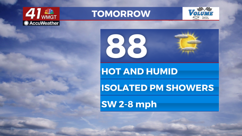
The first day of December is going to feel more like the first day of October. While the morning will begin with chilly conditions, early fall like temperatures will return during the afternoon as highs for most locations in Middle GA will reach the lower 70s. There were no highs in the 70s during Thanksgiving week. Wind will predominantly blow out of the southwest at about 5-10 mph with gusts over 15 mph, adding even more moisture and heat to the Georgia atmosphere. This isn’t setting the stage for any storm systems, however. The benign pattern looks to remain in place through the rest of the week. Unlike Tuesday night, expect clear skies overnight Wednesday rolling into Thursday morning with lows in the lower 40s for most of the region.
Thursday and Beyond
The warm conditions will stick around into the weekend with overall limited cloud cover until Friday. Highs will peak in the mid 70s Thursday and Friday afternoon before the lower 70s return over the weekend. The winds will also mainly blow from the west the rest of the week, with slight northerly and southerly variations here and there. The speeds should hang around the 5 mph mark for most cities in Middle GA. Low temperatures will continue to warm with upper 40s and lower 50s likely ahead of the weekend.

Over the weekend cloud cover will be much more abundant as the stage finally gets set for another potential storm system. Like many we have seen this fall, this one looks to bring very little precipitation to Middle GA once again. The timing of any potential rain also looks to be during the early morning hours again, this time ahead of the sunrise on Monday. The clouds will clear throughout the day on Monday as the winds shift back to the northwest. They will likely be rather strong as well with sustained speeds over 10 mph and gusts over 20 mph. This will allow cooler conditions to return heading into the first full week of December.

Follow Meteorologist Aaron Lowery on Facebook (Aaron Lowery 41NBC) and Twitter (@ALowWX) for weather updates throughout the day. Also, you can watch his forecasts Monday through Friday on 41NBC News at Daybreak (6-7 a.m.) and 41Today (11 a.m).


Leave a Reply