


Sunshine returns ahead of the weekend
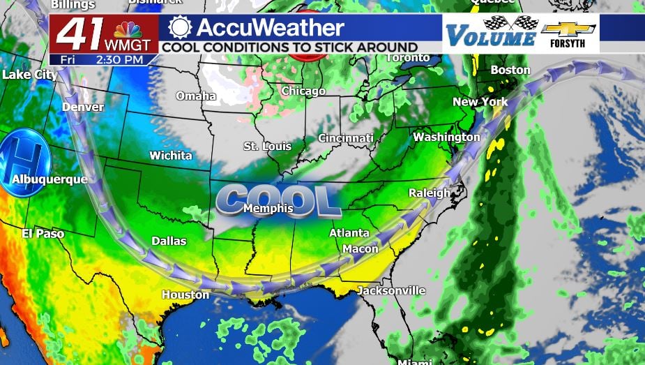
MACON, Georgia. (41NBC/WMGT) – Sunshine and cooler temperatures are left behind in the wake of another cold front.
Today
A handful of clouds were still overhead this morning left over from last night. These allowed the morning temperatures to remain rather warm, beginning the day in the mid to upper 50s around Middle GA. Wind shifted from the west-southwest to the northwest during the early morning hours, and it will remain that way through most of the day today. High temperatures will still be warm in the wake of the cold front in the low to mid 70s. Today’s highs, however, will be the warmest we see until the middle of next week. A trough in the jet stream has anchored itself over the Southeastern US and will stick around for the next few days. With the exception of tonight and Sunday the wind will predominantly blow out of the northwest, keeping the air dry and temperatures cool. For tonight, however, the wind will return to the west-southwest, allowing low temperatures to fall into just the mid 40s.
Tomorrow
The clear skies will remain over Middle Georgia as the wind shifts back to the northwest beginning Saturday morning. There will be some strong breezes throughout the day as well, with sustained speeds at 10-15 mph and gusts potentially 20+ mph. High temperatures will respond to the cooler winds accordingly and fall even more, this time only reaching the low to mid 60s around the region. When the sun sets the wind will remain out of the northwest however the sustained speeds will fall below 10 mph. Overnight low temperatures will be the coldest so far this fall season, reaching the low to mid 30s. A few locations may reach or drop below the freezing point.
Sunday
The new pattern continues into the back half of the weekend with clear skies overhead and cool temperatures. Highs on Sunday will be around the same as Saturday, though a drop of a degree or two is likely for most locations. The wind will shift back to the west-southwest for the day, but all that will do is bring in some extra moisture to allow for slightly warmer low temperatures overnight heading into Monday. The speed of these winds will be between 5 and 10 mph with gusts upwards of 15 mph. The wind will shift back to the west-northwest heading into the overnight hours, however the excess moisture brought in during the day will prevent the lows from dropping below what they were Sunday morning. Instead of low to mid 30s out the door Monday morning, expect mid to upper 30s.
Next Week
Monday will be the last day of the sunny but cooler highs trend as the high temperatures level off in the upper 50s and low 60s. Wind will predominantly blow out of the north-northwest once again to keep things cool, but there will be another shift ahead of the nighttime hours. This time, however, that wind will shift to the southeast and stay there heading through Tuesday. Northerly winds will likely not return until shortly before next weekend, so expect a chance for some storms either Thursday or Friday of next week given the recent pattern of sunny early week, cloudy and wet late week.

Follow Meteorologist Aaron Lowery on Facebook (Aaron Lowery 41NBC) and Twitter (@ALowWX) for weather updates throughout the day. Also, you can watch his forecasts Monday through Friday on 41NBC News at Daybreak (6-7 a.m.) and 41Today (11 a.m).


Leave a Reply