


Cloud cover begins to return on Tuesday
MACON, Georgia. (41NBC/WMGT) – The setup stage for the next storm system will begin with a few clouds Tuesday afternoon.
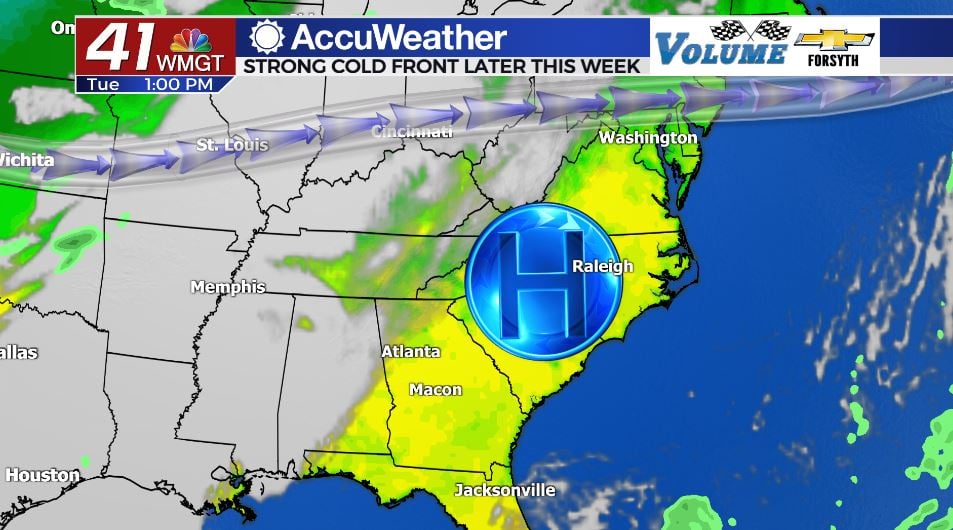
Today
The whole process leading up to Thursday’s storm system begins with a shift of the wind to the south this afternoon. Overall the winds around Middle GA will be calm and variable this afternoon as the sun beats down once again. High temperatures will reach the mid to upper 70s this afternoon, a few degrees warmer than yesterday. Cloud cover will also begin to return later this afternoon, although it will only be some scattered high level cirrus clouds. These will continue to fill in overnight, almost becoming a blanket ahead of Wednesday morning. Combined with the south wind, the cloud cover overnight will allow our low temperatures to be a bit warmer heading into tomorrow morning, bottoming out in the mid to upper 40s.
Tomorrow
Most of Middle GA will wake up to plenty of high level clouds early on Wednesday. These will quickly give way to mostly clear skies ahead of lunchtime with a mix of sun and clouds during the afternoon. The persistent winds out of the south-southeast will be adding plenty of moisture to the Georgia atmosphere, allowing some mid and a few low level clouds to develop in the afternoon. High temperatures will again be in the mid to upper 70s across the region. Overnight the cloud cover will thicken again as the chance for some showers increases. Shower activity will likely begin ahead of the sunrise on Thursday morning. Low temperatures will be in the mid 50s across the region, increasing greatly from the morning before.
Veteran’s Day: Showers and the Cold Front
The next system officially arrives on Thursday with showers likely beginning ahead of the sunrise. Plenty of shower activity is expected through the early hours of the day with a blanket of clouds overhead. But all of these showers and clouds on Thursday could have some major benefits too, especially when it comes to limiting severe weather chances. The setup going into Thursday has several key ingredients for severe weather, with one of the biggest being temperatures in the afternoon in the low to mid 70s and dewpoints in the low to mid 6os, indicating plenty of heat and moisture in the atmosphere.

Typically to get severe weather however you have to have a lot of surface heating in order to kickstart violent thunderstorms. If its cloudy with scattered showers for most of Thursday afternoon, that surface heating and instability will not be in place. At this time, the Storm Prediction Center has not issued any level of severe weather threat for Middle GA on Thursday for this reason.The thunderstorm activity likely will not begin until late in the evening with the cold front passing through during the early overnight hours. Low temperatures will fall to the low and mid 50s around the region. Cloud cover will also clear out ahead of Friday morning.

Follow Meteorologist Aaron Lowery on Facebook (Aaron Lowery 41NBC) and Twitter (@ALowWX) for weather updates throughout the day. Also, you can watch his forecasts Monday through Friday on 41NBC News at Daybreak (6-7 a.m.) and 41Today (11 a.m).


Leave a Reply