Southern California snaps back to summer temperatures as gusty Santa Ana winds blow

Gusty Santa Ana winds blowing into Southern California are driving up temperatures and triggering advisories, weathers officials said Thursday.
It’s a stark reversal from the cool, rainy conditions that kicked off the week when a strong storm rolled in from the north, breaking rainfall records in several cities.
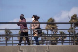
A gradual warming trend followed, and by Thursday, skies were blue and clear — and temperatures were almost summerlike.
“When we have Santa Ana winds like this, we usually get pretty warm temperatures across coastal and valley areas,” said Rich Thompson, a meteorologist with the weather service’s Oxnard station.
Forecasters expect highs in the 80s to around 90 from the coast to the inland valleys, according to the National Weather Service. Downtown Los Angeles could hit 87 degrees. Woodland Hills might reach 92.
“If you thought today was warm, tomorrow will be even warmer!” the weather service’s Los Angeles station said in a tweet Wednesday.
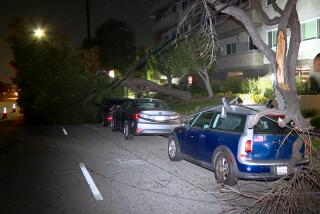
Several wind advisories are in place until 3 p.m., when Santa Anas could toss unsecured objects and affect high-profile vehicles.
The mountains in Los Angeles and Ventura counties are forecast to get north and northeast winds of 15 to 25 mph, with fierce isolated gusts up to 50 mph.
Winds of 20 to 30 mph, with gusts up to 45 mph, are expected in the Santa Monica Mountains.
Several interior and coastal valleys — including the Santa Clarita and San Fernando valleys, as well as the Ventura County coast — could see winds of 15 to 25 mph, and gusts up to 40 mph.
The National Weather Service warned drivers of high-profile vehicles to exercise caution.
Offshore winds will weaken by Thursday night, and on Friday are expected to switch around, bringing an onshore sea breeze that will cool things down a bit, Thompson said.
On Friday, temperatures in coastal areas are forecast to drop into the mid-70s to mid-80s, while the valley areas will see the mid- to upper-80s.
“It will be a nice day out there, but temperatures will be cooler,” Thompson said, adding that the trend is expected to last through the weekend.
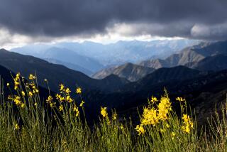
Fire officials this week lowered the fire danger level from “extreme” to “very high” in the Angeles National Forest and San Gabriel Mountains National Monument, citing the recent rains.
Robert Garcia, fire chief of the Angeles National Forest, said fire conditions have improved, noting in a statement, “No large active fires are burning, and resource availability remains at or above normal for this time of year.”
Relative humidity levels also are helping the fire conditions. Despite the Santa Anas, humidity isn’t expected to drop low enough to cause concerns.
The region is not entirely out of the clear for fires, though. Future warm and dry Santa Ana winds could reverse the situation, and, while recent rains have damped bone-vegetation, the precipitation was not enough to undo two years of drought.
With a second year of La Niña conditions in the works, weather officials predict Southern California will see above-average temperatures and below-average precipitationl.
More to Read
Start your day right
Sign up for Essential California for news, features and recommendations from the L.A. Times and beyond in your inbox six days a week.
You may occasionally receive promotional content from the Los Angeles Times.

