Two South Bay cities unveil plans for election district boundaries
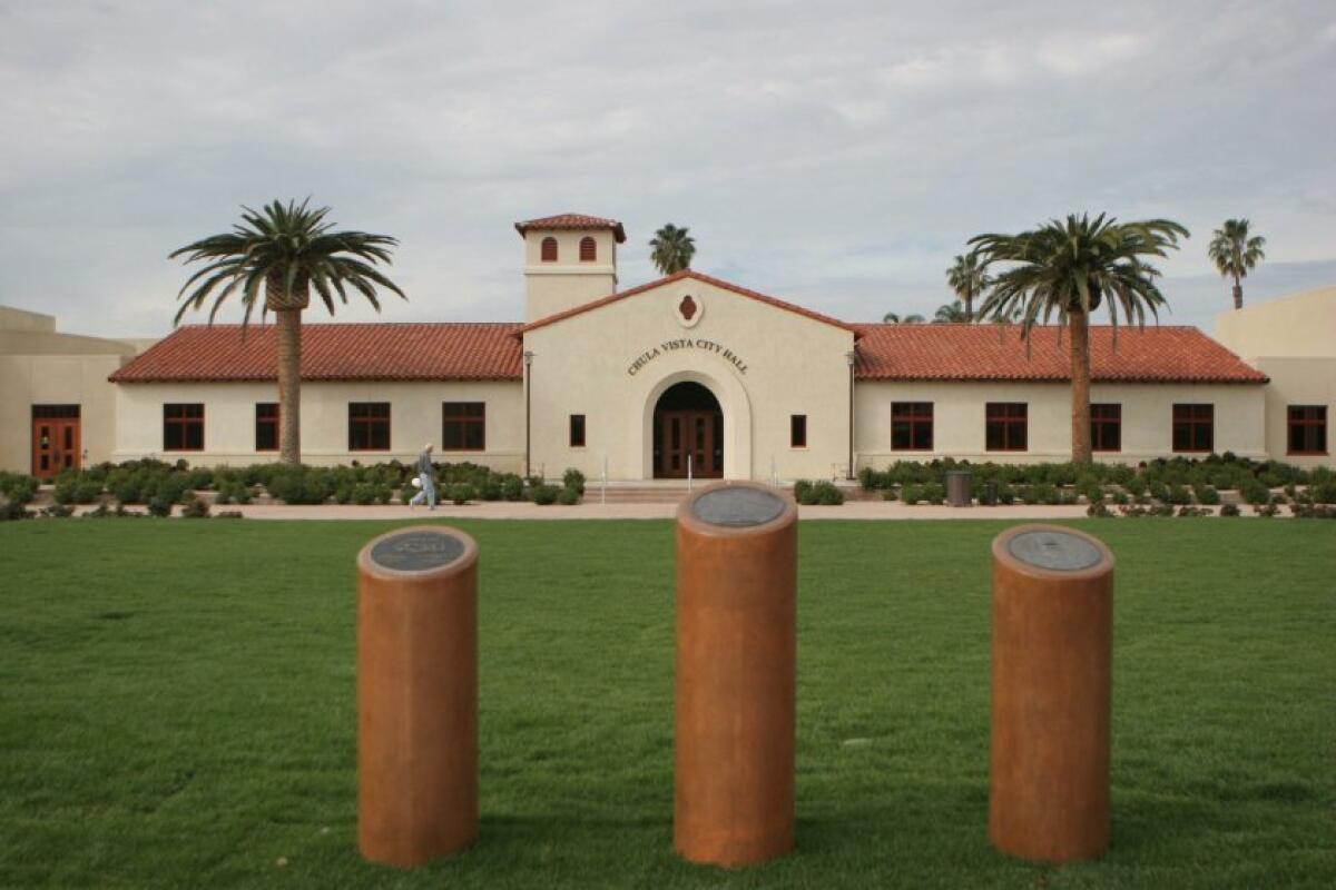
Two South Bay cities have unveiled their proposed plans for election district boundaries after receiving 2020 U.S. Census Bureau data late last month.
Chula Vista and Imperial Beach are now asking the public for feedback before making any of their decisions final.
On Monday, the Chula Vista Redistricting Commission approved a draft map out of four options which commissioners agreed offered fewer drastic changes to the current boundaries and maintains the preferred Interstate-805 boundary between districts 3 and 4.
The selected one, dubbed as Map 2, breaks down as such:
- District One still includes the northeast portion of the city but adds all the communities east of State Route 125, which currently fall under District Three.
- District Two keeps the northwest areas but expands farther east into what is currently District One to gain the Rancho Del Rey community
- District Three remains the same but drops everything east of SR-125.
- District Four stays the same as covering the southwest neighborhoods but gains a small portion that is west of Fourth Avenue, south of J Street and east of Interstate 5.
Map 4 drew a lot of attention, as well. This option would link the Chula Vista Bayfront project, which currently sits in District 2, with District 4. This move followed community requests, said Justin Levitt, vice president of the city’s demographic consultant National Demographics Corporation.
For resident Leonardo Venegas, splitting the 535-acre Chula Vista Bayfront Master Plan would be problematic. He said, “It’s kind of unfair to take away a project that’s taken 20 years for a community to get started just as the new district wants to expand it.”
Vice Chair Elidia Dostal said the remapping in Map 4 “seems like a pretty drastic change.”
All four maps aim to meet a requirement that all districts have a roughly equal population. The 2020 Census tallies, which will be used for the next 10 years, showed that all four areas grew over the past decade but District Three’s population increased “disproportionately more than the other three,” said Levitt.
Chula Vista’s total population is 276,000. Based on 2020 Census figures, District Three now includes about 19 of the city’s population, or 82,000 residents. With the proposed Map 2, District Three’s boundary lines would reduce the total about 67,700, which falls within range of the other districts’ populations.
The public has until Nov. 18 to provide the city with feedback on the draft map, which could bring about adjustments, before the commission votes to approve the final version. By Dec. 7, the City Council is expected to consider the map and, if adopted, it will be used in effect for the 2022 City Council elections.
Imperial Beach
It hasn’t been long since Imperial Beach’s election district boundaries were drawn and council members indicated Wednesday that they are satisfied with the current lines. Still, the public will have several chances to weigh in on the map.
The current boundaries were adopted in December 2018 using Census data from 2010, after the city moved from at-large to district-based elections last year. Districting began after an attorney sought to sue dozens of cities over violations of the California Voting Rights Act. Lawyer Kevin Shenkman said Imperial Beach lacked Latino council representation in a city whose population is 50 percent Latino. That was before council members Paloma Aguirre and Matthew Leyba-Gonzalez were elected.
To bring a better balance among voting districts, the existing map divides Imperial Beach into four districts:
- District One includes the northeast portion of the city; everything north of Highway 75 and east of 12th Street until Imperial Beach Boulevard.
- District Two contains a small coastal area north of Palm Avenue and most of the central part of the city, including everything between Third and 12th streets and north of Imperial Beach Boulevard.
- District Three is made up of the entire coastal region south of Palm Avenue and west of Third Street. The district also contains the central part of the city south of Imperial Beach Boulevard.
- District Four includes the southeastern part of Imperial Beach; neighborhoods south of Imperial Beach Boulevard and east of Essex Street.
Council members agreed that switching to a district-based voting system has been positive for the city and making more changes may be unnecessary.
“After seeing the results including the election of two new council members and Councilmember Leyba-Gonzalez particularly representing an area of the city that hasn’t had representation before, I think it’s a good deal,” said Mayor Pro Temp Ed Spriggs.
“I feel it just became an opportunity for somebody with no political aspirations or backgrounds such as myself, to be able to be the voice of a large majority of underrepresented individuals that live in this great city,” added Leyba-Gonzalez.
For Aguirre, “There was a lot of public engagement, there was a lot of public input, and the way that they were designed was, I believe, very equitable, and I wouldn’t want to reinvent the wheel.”
The public will have three more public hearings to provide feedback before the council votes to approve whether to retain or redraw district boundaries. Imperial Beach’s redistricting process must be completed by mid-April, according to city staff.
Get Essential San Diego, weekday mornings
Get top headlines from the Union-Tribune in your inbox weekday mornings, including top news, local, sports, business, entertainment and opinion.
You may occasionally receive promotional content from the San Diego Union-Tribune.

