

SAN DIEGO (CNS) - Maps released Thursday of earthquake-prone areas are intended to ensure new construction in San Diego does not take place atop earthquake faults that may break the surface.
Developed by the California Geological Survey, these regulatory Alquist-Priolo Earthquake Fault Zone maps detail where local governments must require site-specific geologic and engineering studies for proposed developments to ensure this hazard is identified and avoided. Generally, new construction for human occupancy must be set back 50 feet from the active surface trace of a fault.
The map is also designed to ensure the safety of the Ventura County community of Fillmore.
"Surface fault rupture is the easiest earthquake-related hazard to avoid because you can see the evidence of where it has occurred," said Steve Bohlen, acting state geologist of California and head of CGS. "Surface fault rupture means that one side of a fault is moving either vertically or horizontally in relation to the other side. The deformation that movement causes is potentially devastating to buildings and infrastructure."
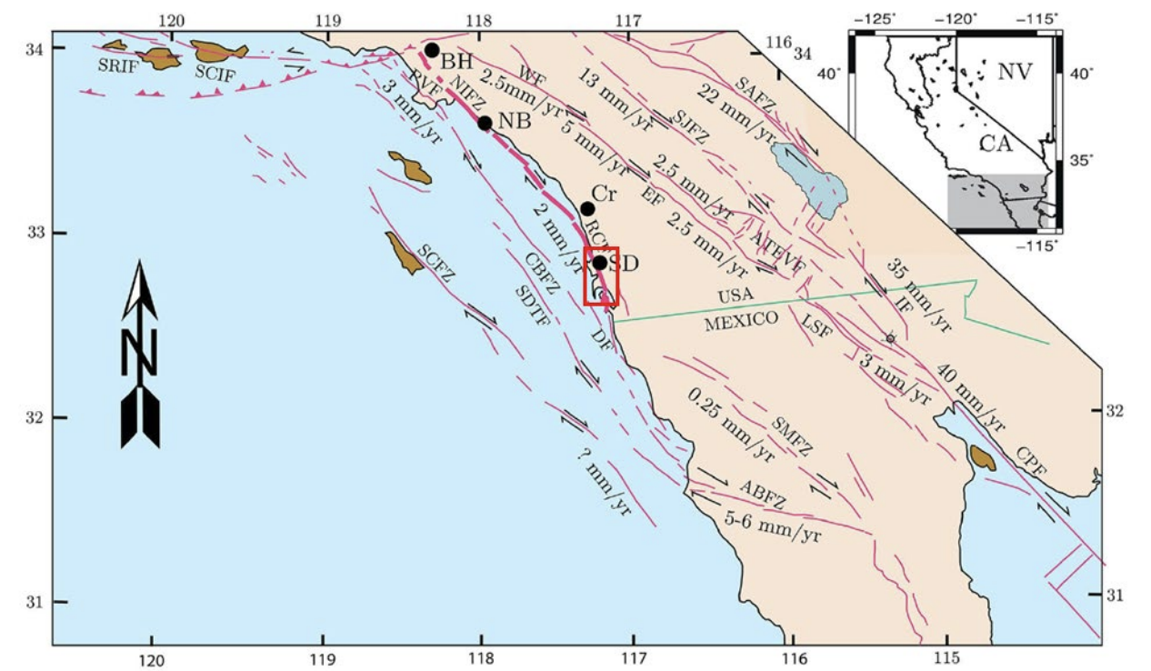
Two maps of revised Earthquake Fault Zones have been prepared for the Rose Canyon Fault where it comes onshore on Coronado Island and traverses the San Diego area to the northwest and goes back offshore near La Jolla. Each of these maps covers a roughly 60-square-mile quadrangle of territory.
The Alquist-Priolo Act was passed into law following the 1971 magnitude 6.6 San Fernando earthquake, which caused extensive surface rupture that damaged many buildings. Not every large earthquake causes surface fault rupture. For example: the Loma Prieta Earthquake of 1989 was devastating without breaking the surface. However, the 1992 Landers Earthquake in San Bernardino County caused surface rupture 50 miles long with displacements ranging from one inch to 20 feet.
"Since the first Earthquake Fault Zone maps were issued in 1974, there have been about 30 earthquakes associated with surface faulting in California," Bohlen said. "For the most part, the surface displacement is relatively minor. But there have been seven earthquakes that produced offsets greater than a foot -- more than enough to break the foundation of a building, which could cause a collapse."
When construction is proposed within a fault zone, a California- licensed geologist must evaluate the parcel to be developed and submit a report to the local agency that issues building permits. If a fault is located and found to be active, the hazard is mitigated by making sure no buildings are placed on fault traces.
The zones do not affect existing developments unless extensive additions or remodeling are proposed. Disclosure that property is within a zone must be made in real estate transactions.
Ultimately, the local lead agency, not CGS, has the final say about issuing building permits in zoned areas and how much, if any, of a setback is required.
The new maps were finalized after review by local government entities, the public and the state mining and geology board.

Members of the public who want to see whether their property is in either a CGS Alquist-Priolo Earthquake Fault Zone or a Seismic Hazard Zone can enter an address into CGS' EQZapp tool. There are now 558 Alquist-Priolo fault zone maps throughout the state.
"Hazards management is a fundamental pillar of the work done by CGS and the Department of Conservation, of which we are a part," Bohlen said. "While our new maps will help protect lives and property, we always encourage Californians to make sure they and their families are prepared for earthquakes and other natural disasters."
