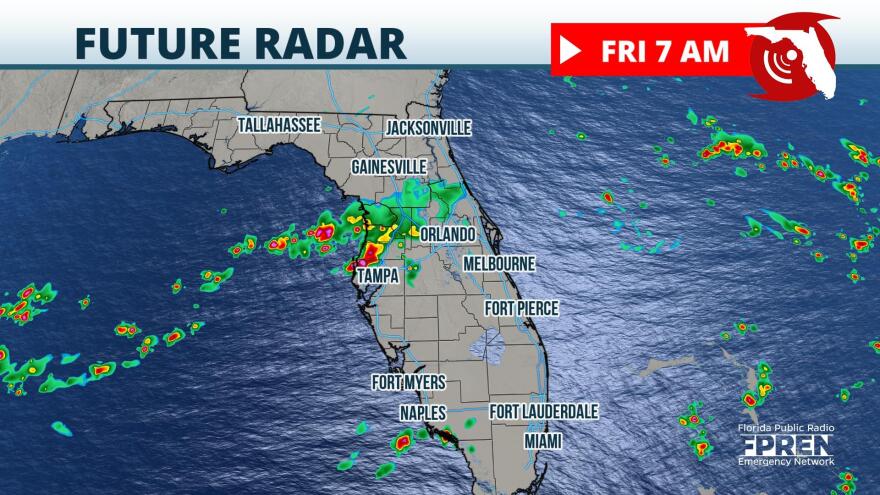
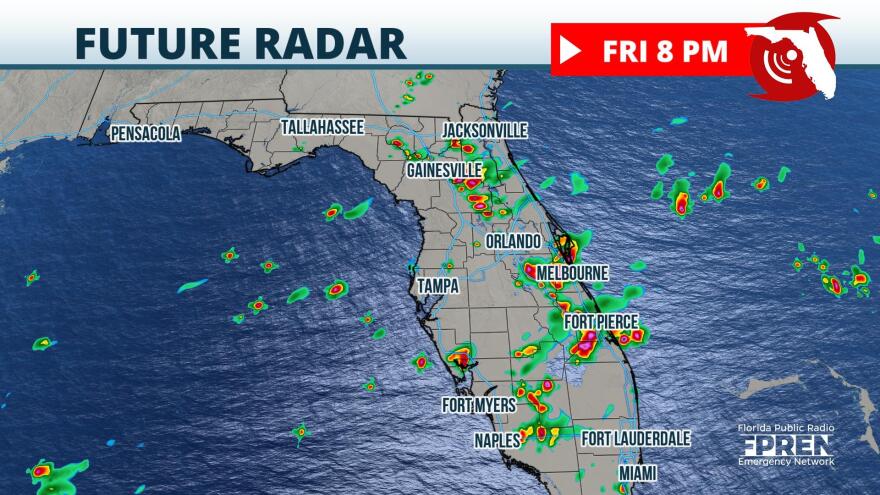
Update as of 7:30am Friday:
Heavy showers and a few storms are moving through parts of north-central Florida, near Ocala, early Friday morning. Another pocket of heavier rain is moving through parts of Pinellas, Hillsborough, and Pasco counties. There may still be a few stronger cells over the interior of the peninsula, favoring the Atlantic coast later Friday afternoon, but the threat of severe thunderstorms has lowered.
Mainly afternoon thunderstorms are forecast again on Saturday, particularly over Central Florida, North-Central Florida, and the Big Bend areas.
Original story from Noon Thursday:
Pockets of strong wind gusts are possible in portions of Central and North Florida Friday afternoon ahead of front moving into the state.
A very humid air mass remains behind what was once Tropical Storm Mindy. Showers and thunderstorms are likely to develop early Thursday morning near the Nature Coast and in the Tampa/St. Pete metropolitan areas. These storms are capable of localized flooding and frequent lightning as they move from southwest to northeast.

An added ingredient this time is a cold front moving southward from Georgia. It's likely to stall over North Florida Friday evening. The southwest winds ahead of the front will tend to focus afternoon thunderstorms over the interior of the peninsula, eventually favoring the Atlantic side during the late afternoon and early evening hours. Enough wind shear is forecast to be in place on top of the usually humid and unstable environment to cause a few more pockets of strong wind than typical afternoon thunderstorms produce.
The most likely areas to experience the strongest storms extend from Ocala and The Villages area to Orlando, Melbourne, Daytona Beach, and the St. Augustine areas Friday afternoon and evening. Other areas, such as Jacksonville and Gainesville areas, are close to the risk area and should monitor weather conditions, as well.

Scattered to numerous storms are possible again during the late morning and afternoon hours of Saturday. Some drier air is forecast to move into North Florida and limit the number of storms on Sunday, but scattered to numerous storms are still possible in Central Florida during Sunday afternoon.
Copyright 2021 Storm Center

