Tropics watch: Tropical Storm Larry strengthens quickly; expected to become a hurricane tonight
 Cheryl McCloud
Editor's note: Here's the latest on Hurricane Larry, which is forecast to become a major hurricane by Friday night.
Tropical Storm Larry is gaining strength quickly and, as of the 8 p.m. update, is expected to become a hurricane tonight.
The forecast calls for steady and rapid strengthening during the next couple of days, and Larry is expected to become a major hurricane by Friday, according to the latest advisory from the National Hurricane Center.
Elsewhere, forecasters continue to track remnants of Ida as it brings heavy rain and the potential of flash floods to the Northeast. There's an enhanced risk for several tornadoes across parts of the mid-Atlantic this evening.
What's next? 2021 hurricane season is half over: After intense start, is there more to come in September?
Too strong? Hurricane Ida's strength may have seemed surprising. But not to forecasters.
Kate is no longer a Tropical Depression. Only remnants remain and are not a threat.
There's an increasing chance for development of a disturbance in the Caribbean before it moves over Central America and the Yucatan Peninsula.
Here's the latest update from the NHC as of 8 p.m. Sept. 1:
What's out there and where are they?
Tropical Storm Larry: Larry is located about 370 miles southwest of the southernmost Cabo Verde Islands.
Post-Tropical Cyclone Ida: The remnants of Ida are about 35 miles south of Harrisburg, Pennsylvania.
More on Ida
Man attacked by alligator in flooded Louisiana waters after Hurricane Ida
'A hurricane ain't gonna drive me away': Louisiana residents check for damage after Ida
The remnants of what was Tropical Depression Kate: Kate is located about 960 miles northeast of the Leeward Islands.
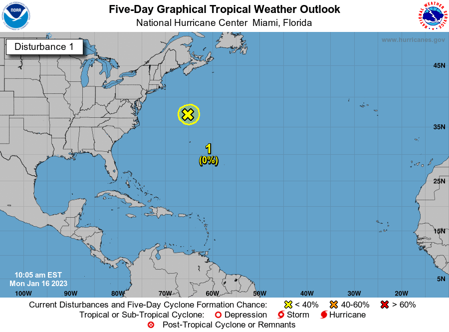
Disturbance 1: An area of low pressure continues to produce disorganized shower activity over the southwestern Caribbean Sea.

How likely are they to strengthen?
Tropical Storm Larry: Maximum sustained winds are now near 70 mph, with higher gusts. Additional strengthening is forecast, and Larry is expected to become a hurricane tonight and a major hurricane Friday.
Post-Tropical Cyclone Ida: Maximum sustained winds are near 35 mph, with higher gusts. Little change in strength is forecast during the next 36 hours.
Remnants of Kate: Kate is no longer a tropical depression or a threat.

Disturbance 1: A small area of low pressure located just off the coast of Nicaragua is producing disorganized shower and thunderstorm activity. A portion of the low's circulation could move over the Gulf of Honduras on Thursday and Friday, where development, if any, is expected to be slow to occur.
This system could then move over the southwestern Gulf of Mexico during the weekend and early next week, but by then strong upper-level winds would likely limit significant development.
- Formation chance through 48 hours: low, 10 percent.
- Formation chance through 5 days: low, 20 percent.
Details on Tropical Storm Larry
- Location: 370 miles southwest of the southernmost Cabo Verde Islands
- Maximum sustained winds: 70 mph
- Direction: west at 22 mph
Details on Tropical Depression Ida
- Location: 35 miles south of Harrisburg, Pennsylvania
- Maximum sustained winds: 35 mph
- Direction: east-northeast at 25 mph
Details on Kate

- Location: 895 miles northeast of the Leeward Islands.
- Maximum sustained winds: 35 mph
- Direction: north-northwest at 9 mph
Who is likely to be impacted?
Tropical Storm Larry, Tropical Depression Kate: No impact to the U.S. is expected at this time.
Remnants of Ida: Ida is bringing widespread heavy rain along its path. Flood and Flash Flood Watches are in effect for portions of the central Appalachians, Mid-Atlantic, and into southern New York and New England. Tornado Watches are in effect for much of the Mid-Atlantic, including portions of Delaware, Maryland, New Jersey, southeastern Pennsylvania, Washington D.C., Virginia, and far northeastern North Carolina.
Disturbance 1: Heavy rains are possible across portions of Central America and the Yucatan Peninsula later this week into the weekend.
It's too early at this time to determine if there will be any impact to land from the tropical wave. Forecasters urge all residents to continue monitoring the tropics and to always be prepared during what's expected to be an active hurricane season.
Tracking the tropics in real time:
These graphics, which update automatically, show you activity in the tropics in real time:
Track a storm
What's out there?

What's next?
We will continue to update our tropical weather coverage daily. Download your local site's app to ensure you're always connected to the news. And look at our special subscription offers here.