Minnesota Weather: Monday Will Be Coolest Day Since Late May
MINNEAPOLIS (WCCO) -- After some precious rain fell on parts of Minnesota Sunday, here comes a big cool down.
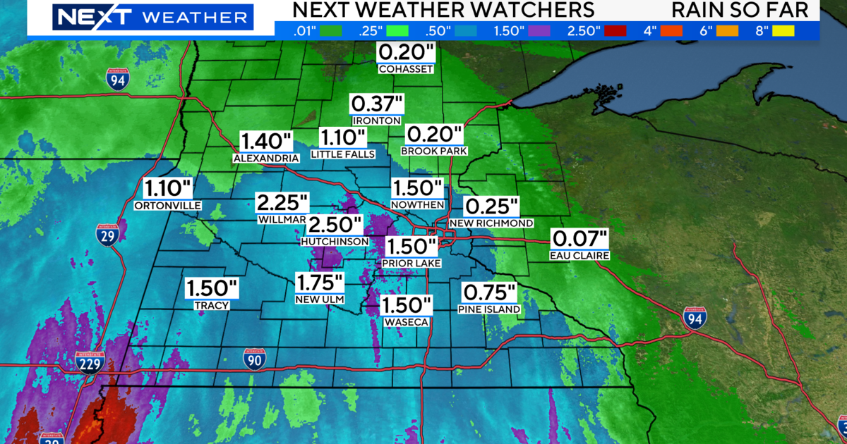
WCCO Meteorologist Lisa Meadows says Sunday's storm system was a blessing for drought-stricken Minnesota, with several communities getting an inch or more of rain. Places like Stillwater, St. Louis Park, Rosemount and Siren in Wisconsin collected an inch or more. North St. Paul measured an inch and a half, while Eau Claire topped out at about 2 inches. The Twin Cities saw about a quarter of that.
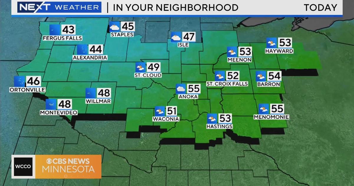
Temperatures will fall into the 50s overnight, which is about 10-degrees below average for this time of year. Southwest and northern Minnesota will drop down to the 40s.
Monday's high will top out at 67 in the metro, which is 14-degrees below average. This is the coolest high temp we've experienced since May 30, when the mercury only reached 62.
Highs will return to the 70s by Tuesday, then heat and humidity comes back Wednesday. More thunderstorms are in the forecast for Thursday and Friday, before another cooling trend arrives next weekend.


