undefined
Posts
undefined
Followers
Flash flood update: Conditions for rain persist through week
By Steve Clark,
2026-10-05I n a bulletin issued early Monday, the National Weather Service Brownsville/Rio Grande Valley office advised that a threat of flash floods continues near the Lower Valley and lower Texas coast.
NWS predicted a Slight Risk of excessive rainfall Monday during the day and evening near the coast and Marginal Risk of excessive rainfall into Tuesday nights. A High Risk of rip currents warning was in effect until 7 p.m. Monday for Cameron, Willacy and Kenedy counties.
NWS noted that even experienced swimmers can be swept far from shore by rip currents, and strongly urged residents and visitors to stay out of the surf.
“A persistent active weather pattern will continue to bring showers and thunderstorms to the region today and into the upcoming week,” meteorologists said Monday. “The axis of heaviest rainfall will continue across the Lower Valley and lower Texas coast today into Tuesday night. Although the precipitation will bring welcome relief to most areas, heavy rainfall and high rainfall rates may lead to localized flash flooding.”
NWS said a stationary frontal boundary along the lower coast will maintain elevated rain/storm chances through late in the week, with the best chance of rain, periodically heavy, settling along the Lower Valley and lower Texas coast this morning through Tuesday night.
“Unsettled weather will continue with light to moderate showers and periodic heavier bands of showers and thunderstorms, mainly along the Lower Valley and immediate coast, as the axis of heaviest rainfall remains near the coast,” according to the bulletin.
Meteorologists said rainfall amounts of 2-3 inches are possible across portions of eastern Cameron and Willacy counties, with 1 inch or less expected across the rest of deep South Texas. The forecast is for daily rainfall amounts of 1 inch or less through late this week, NWS said.
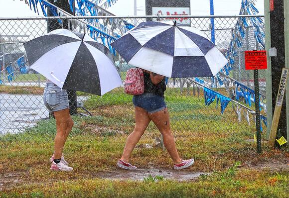
Forecast confidence is fairly high that the current weather pattern will support development of showers and thunderstorms, though somewhat lower regarding exactly where the heaviest rain is likely to develop each day through the week, according to the bulletin.
At any rate, residents should take time to secure unanchored lightweight objects, clean out stormwater drains and drainage ditches, and check the wipers and tires on their vehicles, NWS said.
In the event flooding does occur in your area, it can be very difficult to see during the day and impossible to see at night, meteorologists advised.
“Don’t drive through moving or standing water,” NWS advised. “It only takes 6 inches of moving water to sweep you off your feet. If you can’t see the road, turn around. Don’t drive around barricades.”
The post Flash flood update: Conditions for rain persist through week appeared first on MyRGV.com.
 Add to Preferred Sources

