UPDATE: Three Tornadoes Hit Central, East Alabama Sunday and Monday
UPDATE: A fourth tornado has been confirmed in Marengo and Wilcox counties in West Alabama.
National Weather Service survey teams have confirmed that three tornadoes hit our part of the state during the severe weather outbreak on Sunday and Monday.
The tornadoes touched down in Prattville, Elmore County/Tallapoosa County and in Macon County. Here are the details on each of them:
PRATTVILLE TORNADO
EF-0
Estimated peak wind: 75MPH
Path length: 1.03 miles
Path width maximum: 200 yards
Time on the ground: 9:39PM-9:41PM Sunday (two minutes)
Survey crews say a brief tornado formed over the Prattville Country Club where tree limbs were blown down. It then crossed U.S. Highway 82, knocking down trees. It caused damage to the Prattville Pickers antique mall while falling trees knocked down power lines and poles. The tornado moved across a neighborhood, knocking down trees and limbs before it lifted near Deerwood Drive.
ELMORE COUNTY/TALLAPOOSA COUNTY TORNADO
EF-1
Estimated peak wind: 110MPH
Path length: 7.46 miles
Path width maximum: 1,200 yards
Time on the ground: 10:22PM-10:29PM Sunday (seven minutes)
This tornado touched down in woods just west of Tecumseh Point Road in Elmore County, south of Kowaliga, causing significant tree damage. The tornado crossed into the Castaway Island area, causing trees to fall on power lines and homes. It went back into the water then into The Ridge neighborhood, where 3-4 homes along the lake on Sundown Ridge and Dawson Point had roof and siding damage. A couple of 130-foot tall concrete electronic transmission poles were knocked down at the end of Dawson Point, with lines falling into the lake. The tornado went east into Tallapoosa County where damage was much weaker. A few trees were uprooted along Long Branch Drive and Old Tree Road. The tornado lifted around Center Point Road.
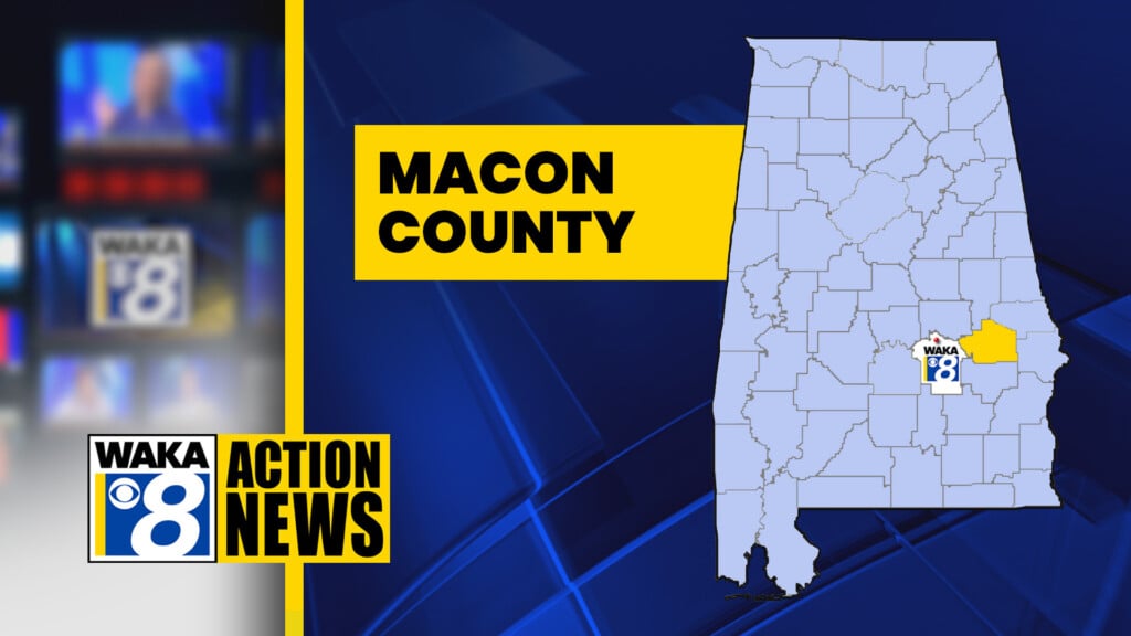
MACON COUNTY TORNADO
EF-2
Estimated peak wind: 125MPH
Path length: 15.41 miles
Path width maximum: 1,450 yards
Time on the ground: 2:41AM-3:06AM Monday (25 minutes)
This tornado started in the Tysonville Road area of extreme western Macon County, with tree limbs and small trees blown down. Damage became more concentrated along County Road 138, where a carport was destroyed. There was tree damage on County Road 40, with some falling on power lines. The top of a silo was blown off. The cotton gin in Milstead had major damage, with failure to the roof and outer walls. Two nearby buildings had lesser damage. There was significant tree damage around a small lake. Numerous concrete power poles were pulled down across the railroad tracks, while a pivot irrigation system was flipped. Trees were downed along County Road 9 for about three miles as well as minor roof damage to homes. Damage became more scattered in the Franklin community, but there was more concentrated tree damage on the east side of County Road 27 before the tornado dissipated.
There were no injuries in any of these tornadoes.
In addition to these tornadoes, there was a fourth tornado in the area covered by the National Weather Service office in Birmingham. It hit late Friday night in the Bear Creek area of Marion County, which is northwest of Birmingham on the Mississippi state line.