Summer heat across the area for the first weekend of June
Afternoon highs should climb into the upper 80s and low 90s the next few days but luckily it shouldn't be overly humid
We enjoyed a beautiful yet very warm to hot Friday across Central and Eastern Kentucky as the bubble of high pressure slid into the heart of the Ohio Valley. With cloud-free skies and plenty of sunshine, afternoon highs surged into the upper 80s and low 90s across the area. We topped the 90 degree mark in Lexington for the first time since last September 21st so it felt more like July or August instead of early June.

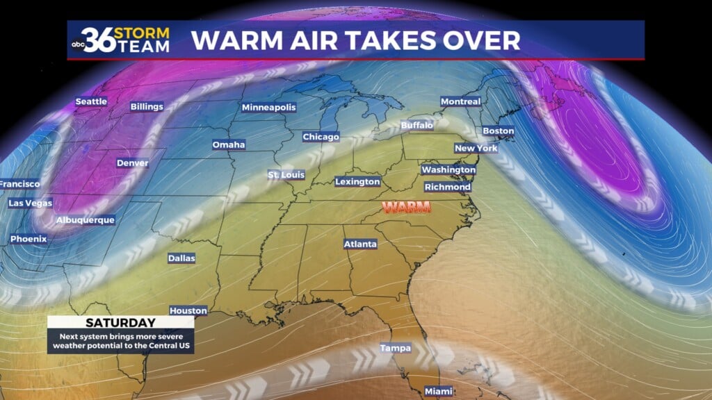
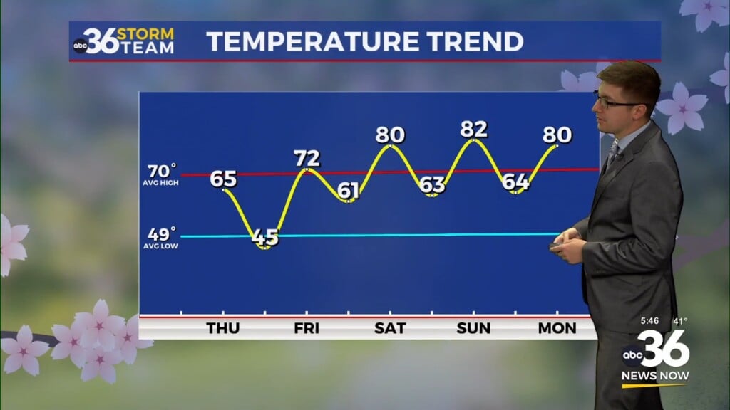
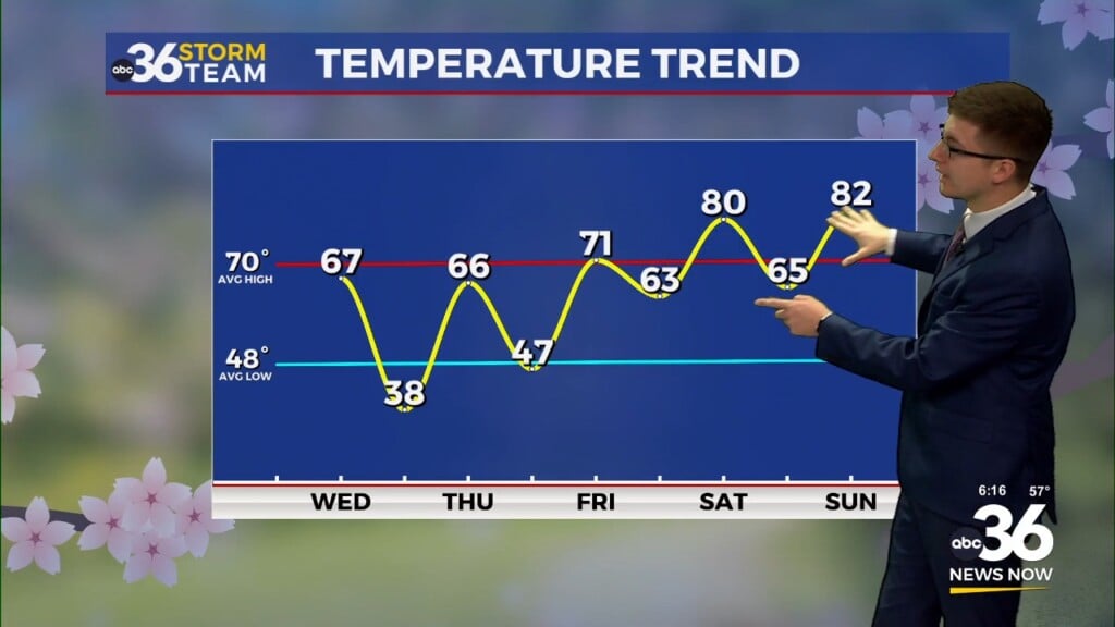
Our weather will stay on the hot side for the upcoming weekend as the area of high pressure continues to drift southwest of the commonwealth. With more sunshine around, afternoon highs will surge back toward the 90 degree mark in most locations. With so many outdoor activities going on over the weekend, make sure to hydrate properly and wear plenty of sunscreen if you are going to be out and about for any length of time. With a dry air-mass in place, it shouldn’t be overly humid, which is always a plus. However, much of the data is now indicating a weak boundary dropping in from the northeast late in the day so a few pop-up storms can’t be ruled out although most locations will be dry.

Even though temperatures will back down a bit beginning Sunday and heading into early next week, the process won’t be a quick as initially expected so highs will press the upper 80s both days with a few isolated afternoon storms possible as some moisture begins to work back into the region.

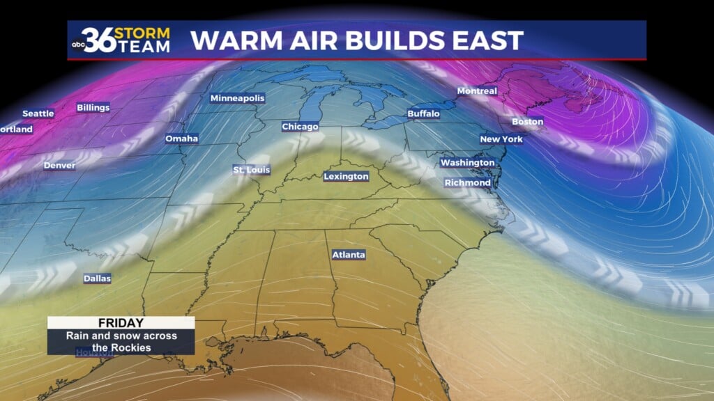
A frontal boundary over Eastern Canada looks to drop south through the Great Lakes and the Ohio Valley into the middle part of next week as a trough digs through New England. While a few spotty to isolated storms can’t be ruled out along the front, it should mainly dry in most spots which isn’t a great thing considering it is getting pretty dry across Central and Eastern Kentucky. The biggest change will be a nice drop in temperatures and humidity levels as afternoon highs reach the mid to upper 70s by Wednesday and Thursday.


ABC 36 HOUR FORECAST
FRIDAY NIGHT: Clear skies and pleasant. Lows in the low-60s.
SATURDAY: Mostly sunny and hot, a stray afternoon storm. Highs in the upper-80s to low 90s.
SATURDAY NIGHT: A few clouds and mild. Lows in the mid-60s.