
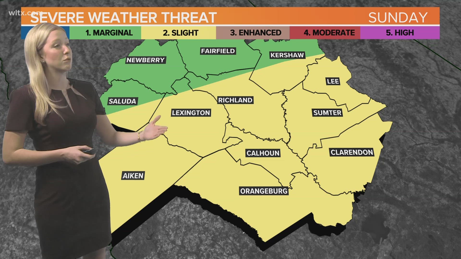
COLUMBIA, S.C. — A line of severe weather passed through the South Carolina Midlands on Sunday, bringing with them wind, some hail and damage in some places.
While several Midlands counties were under severe thunderstorm warnings at one time or another into the early afternoon, one area appears to have gotten the strongest gusts.
Local officials on the ground and the National Weather Service both reported multiple cases of damage in Clarendon County - specifically in the Manning area.
Among the damaged areas were a shopping center and a local recreation park. The result has closed some businesses and some access to the area park.
And while the most damaging portions of the storm are over, rain is expected to continue into the evening.
Weather updates
12:50 p.m.: There are currently about 779 customers without power in Clarendon County. The Santee Electric Coop has 623 of those customers, Black River Electric Cooperative has 84 and Duke Energy has 72.
12:25 p.m.: Mayor Julia Nelson shared photos of damage at a shopping center in Manning. The photos showed windows that were blown in and extensive interior damage to Advanced Auto Parts. Other photos from the location show notable damage to the outside of an IGA grocery store.


12:23 p.m.: The Clarendon County Sheriff's Office is advising drivers to avoid a portion of Branchview Drive in J.C. Britton Park due to extensive storm damage. The gates to the park are also locked from the Raccoon Road area to the basketball court side of Branchview.
11:28 a.m.: The National Weather Service has expired the severe thunderstorm warning for Clarendon, Lee, and Sumter counties.
11:13 a.m.: The National Weather Service is continuing the severe thunderstorm warning for Clarendon, Lee, and Sumter counties until 11:30 a.m. The storm is capable of one-inch hail and 60 mph winds.
11:02 a.m.: Fire crews in Manning report pea-size hail.
10:54 a.m.: The 911 call center in Clarendon County is reporting thunderstorm wind damage and multiple trees and power lines down around a park on Racoon Road in Manning.
10:58 a.m.: The National Weather Service has expired the severe thunderstorm warning for Calhoun Clarendon, Orangeburg, Richland, and Sumter counties.
10:52 a.m.: A severe thunderstorm warning has been issued for parts of Clarendon, Lee, and Sumter counties until 11:30 .m. The storm is capable of winds of up to 60 mph and one-inch hail.
10:43 a.m.: Meteorologist Cory Smith reports that severe storms have now pushed toward I-95 with strong winds and hail still the biggest concern.
10:30 a.m.: The National Weather Service has issued a severe thunderstorm warning for Calhoun, Clarendon, Orangeburg, Richland, and Sumter counties until 11 p.m. The storm is capable of three-quarter-inch hail and winds of up to 70 mph.
10:12 a.m.: The National Weather Service has issued a severe thunderstorm warning for Calhoun, Clarendon, Lexington, Orangeburg, Richland, and Sumter counties until 10:45 a.m.
10:05 a.m. Meteorologist Erin Walker explains how Sunday's severe weather may progress and what could hold it back.
9:57 a.m. The previous severe thunderstorm warning for portions of Aiken, Bamberg, Barnwell, and Orangeburg counties has been expired by the National Weather Service.
9:56 a.m.: The National Weather Service has issued a severe thunderstorm warning for Aiken and Edgefield counties until 10:30 a.m.
9:48 a.m.: A quick look at lightning strikes associated with this storm and where a severe thunderstorm watch may be in effect soon.
9:47 a.m.: The National Weather Service has issued a flood advisory for Aiken, Edgefield, and Lexington counties until 1 p.m.
9:42 a.m.: The National Weather Service has expired the Severe Thunderstorm Warning for Aiken and Edgefield counties.
9:37 a.m.: A severe thunderstorm warning has been issued for Aiken, Bamberg, Barnwell, and Orangeburg counties until 10 .m. The storm is capable of 60 mph wind and hail of up to an inch in size.
9:20 a.m.: A flood advisory has been issued for Aiken, Edgefield, and McCormick counties until 11:15 a.m.
9:13 a.m.: The National Weather Service is warning that a strong thunderstorm will impact parts of northwestern Fairfield and northeastern Newberry counties through 9:45 a.m. The storm has the potential for 40 mph winds and hail of half an inch in size.
8:59 a.m.: The National Weather Service has issued a severe thunderstorm warning for Aiken, Calhoun, Lexington, and Orangeburg counties until 9:30 a.m. The storm is capable of one-inch hail and winds up to 60 mph.
6:32 a.m.: A severe thunderstorm warning will remain in effect for several South Carolina counties until 1 p.m.