undefined
Posts
undefined
Followers
Heavy rain, thunderstorms target North Texas
By Lauren BostwickMcKenna King,
1 days agoOur first pulse of rain has already moved into North Texas and will continue to spread eastward Saturday evening.
The heaviest and most widespread rain, however, arrives late Saturday night and through Sunday morning.
Expect heavy showers and a few embedded rumbles of thunder Saturday night, especially after midnight and continuing through the Sunday morning hours.
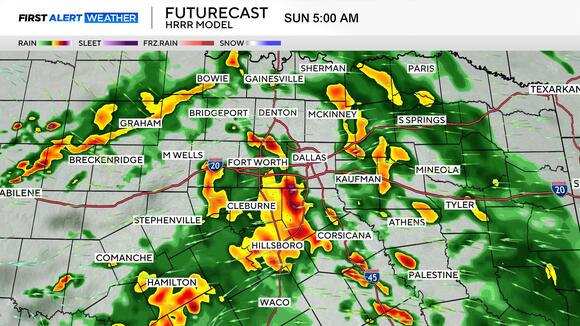
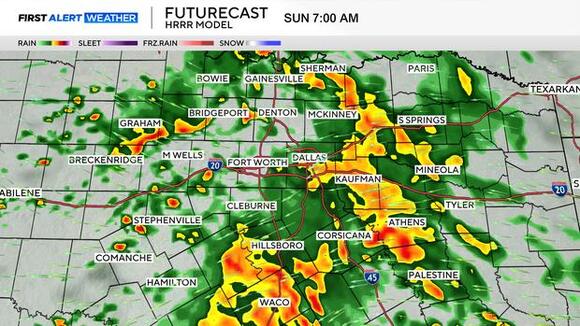
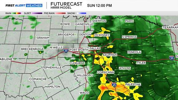
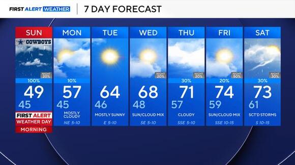
Showers will clear from west to east, with the heaviest of the rain pushing into East Texas by about 1 p.m. on Sunday.
Then for the rest of the day, we'll be left with low clouds and just isolated shower activity, along with the coldest afternoon temperatures since mid-March.
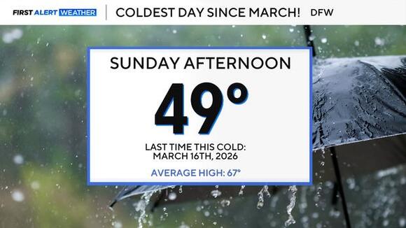
As we head into the new workweek, clouds will be slow to clear Monday, and temperatures will remain below average, with highs in the upper 50s.
After that, we start to warm up, back above average for the rest of the week, with highs eventually working back into the 70s, putting us 10-20° above normal for this point in the year.
We'll be eyeing our next shower chances toward the end of the week and into the start of next weekend.
 Add to Preferred Sources
